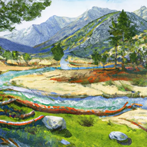
Billy Creek - Upper Campground
Community Reviews
Been here? Share the conditions.
Reviews, ratings & photos are added in the free Snoflo iOS app — rate a spot, tag the conditions, and your visit is verified by location. Add or manage your reviews from the app.
Billy Creek - Upper
Reservations are accepted at Billy Creek - Upper camping area, allowing campers to secure their preferred camping spot in advance. This is particularly recommended during peak seasons when the campground tends to fill up quickly. To make a reservation, visitors can contact the campground directly or use the online reservation system, ensuring a smooth and hassle-free camping experience.
The best time to visit Billy Creek - Upper camping area is during the spring and fall seasons when the weather is mild and pleasant. Summers can be hot, so it's advisable to pack appropriate clothing and gear to stay comfortable. Campers should be cautious of potential wildlife encounters, such as black bears, and are advised to properly store food and dispose of trash to minimize any unwanted animal visits. Overall, Billy Creek - Upper camping area offers a serene and well-equipped camping destination, providing campers with the opportunity to immerse themselves in the beauty of California's natural surroundings.
What's on-site at Billy Creek - Upper
Key facilities Snoflo tracks for this campground. Confirm with the operator before booking -- amenities can change seasonally.
Plan your trip down to the hour
Same weather feed Snoflo's iOS app uses -- updated continuously from NOAA / yr.no.
Next 5 days, hour by hour
Temperature line with weather symbols on top, snow + rain accumulation as columns, humidity as a dotted line.
5-day forecast table
Every 3 hours, broken out across temperature, snow, rain, humidity, and wind. Each cell is colour-coded relative to the column min/max so trends jump out at a glance.
| Time | Condition | Temp (°F) | Snow (in) | Rain (in) | Humidity (%) | Wind (mps) | Wind dir |
|---|---|---|---|---|---|---|---|
| Loading detailed forecast… | |||||||
15-day temperature & precipitation
Daily temperatures, snow, and rain projected over the next two weeks. Hover any point for the full breakdown.
Other campgrounds in the area
Snoflo-tracked campsites within driving distance of Billy Creek - Upper, with reservations status.
| Campground | Reservations | Toilets | View |
|---|---|---|---|
| Billy Creek, Upper Campground | ✓ | ✗ | → |
| Billy Creek, Lower Campground | ✓ | ✗ | → |
| Billy Creek - Lower | ✗ | ✗ | → |
| Camp Kern Bsa | ✗ | ✗ | → |
| Catavee | ✓ | ✓ | → |
Nearby streamflow
USGS streamgauges within reach of Billy Creek - Upper -- pulled live from the National Water Information System.
| Streamgauge | Discharge | View |
|---|---|---|
| Nf Willow C Nr Sugar Pine Ca | 416 cfs | → |
| Big C Div Nr Fish Camp Ca | 0 cfs | → |
| Mf San Joaquin R Nr Mammoth Lakes Ca | 64 cfs | → |
| San Joaquin R Bl Friant Ca | 325 cfs | → |
| Hot C A Flume Nr Mammoth Lakes Ca | 43 cfs | → |
| Merced R A Happy Isles Bridge Nr Yosemite Ca | 97 cfs | → |
Nearby snow depths
NRCS SNOTEL stations within reach of Billy Creek - Upper -- relevant when planning a shoulder-season or alpine trip.
| SNOTEL station | Snowpack | 24h Snowfall | View |
|---|---|---|---|
| Huntington Lake | 1.4 in | 0.0 in | → |
| Nohrsc Tamarack Summit | 0.2 in | 0.0 in | → |
| Nohrsc Kaiser Point | 0.4 in | 0.0 in | → |
| Nohrsc Graveyard Meadow | 0.3 in | 0.0 in | → |
| Upper Burnt Corral Meadow | 0.0 in | 0.0 in | → |
| Nohrsc Chilkoot Meadow | 0.1 in | 0.0 in | → |
Plan a longer trip
The closest parks, lakes, boat launches, and paddle runs so a camping night can grow into a full weekend.
Parks
- Wilderness Kaiser
- Wildlife Area Kinsman Flat
- Wilderness Ansel Adams
- Wilderness Dinkey Lakes
- Big Table Mountain Ecological Reserve
- Devils Postpile National Monument
Boat launches
- Huntington Boat Ramp & Launching Site
- Sierra Marina, Inc.
- Shaver Lake Marina
- Mammoth Pool Rd, California
- Redinger Boating Site
- Redinger Lake
Fishing spots
Points of interest
- Blue Canyon Vista Observation Site
- Sierra-Mono Indian Museum
- Vermillion View Observation Site
- Bass Lake Boat Rentals
- Muir Trail Ranch
- Willow Creek Trail
Paddle runs
- Confluence With North Fork San Joaquin River To Hells Half Acre
- Blarney Meadows To South End Of Florence Lake
- Hot Springs Area To West End Of Blarney River
- Northwest Boundary Of Nf/Kings Canyon Np To Hot Springs Area
- Rainbow Falls To Confluence With North Fork San Joaquin River
- Cora Creek To Confluence With San Joaquin River
Camping essentials & Leave No Trace
- Pack it in, pack it out
- Take all trash, food scraps, and gear back with you to keep campsites clean and protect wildlife.
- Respect wildlife
- Observe animals from a distance, store food securely, and never feed wildlife to maintain natural behavior and safety.
- Know before you go
- Check weather, fire restrictions, trail conditions, and permit requirements to ensure a safe and well-planned trip.
- Minimize campfire impact
- Use established fire rings, keep fires small, fully extinguish them, or opt for a camp stove when fires are restricted.
- Leave what you find
- Preserve natural and cultural features by avoiding removal of plants, rocks, artifacts, or other elements of the environment.
Set push alerts in the Snoflo app
Save Billy Creek - Upper as a favorite, set a custom threshold (precipitation, snowpack, freezing temperatures), and the iOS app will push the moment conditions cross.
About Billy Creek - Upper
Can I make reservations at Billy Creek - Upper?
This campground does not appear to accept reservations -- it's typically first-come, first-served. Arrive early on summer weekends.
How fresh is the weather data on this page?
The hourly forecast updates throughout the day from the NOAA / yr.no public feeds. Streamflow data is pulled live from USGS streamgauges and snowpack from the NRCS SNOTEL network.
What's the best time of year to visit?
Use the 15-day temperature & precipitation outlook on this page to plan -- pick a window with comfortable temperatures and low precipitation. For longer trips, the 5-day hourly meteogram shows snow + rain accumulation hour-by-hour.
How do I get to Billy Creek - Upper?
Tap Directions in the hero above to open driving directions in Google Maps, or Open in map to center the Snoflo interactive map on the campground.
Can I get alerts when conditions change?
Yes -- alerts are managed through the Snoflo iOS app. Favorite this campground, set a threshold (temperature, snowpack, precipitation), and you'll get a push the moment it crosses.
Other campgrounds near here
Snoflo-tracked campgrounds within driving distance of Billy Creek - Upper.