

-
 Snoflo Premium
Get unlimited access to all our content
With no Ad interruptions! - Start Your Free Trial Login with existing account
Big-Flat
Eden Index
Climate
8.1
•
Recreation
6.8
•
Community
•
Safeguard
5.6/10
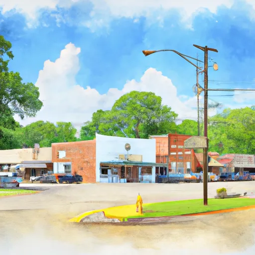
Big-Flat, Arkansas is a small town located in Baxter County. The area has a humid subtropical climate with hot summers and mild winters. The town is situated near the White River, which is a popular destination for fishing, canoeing, and kayaking. The river is also known for its hydrology constituents, such as trout, smallmouth bass, and catfish. Other outdoor recreation opportunities include hiking and camping in the nearby Ozark National Forest. The forest boasts beautiful scenic views, waterfalls, and numerous trails for hiking and mountain biking. Visitors can also explore the Blanchard Springs Caverns and the Buffalo National River, which is perfect for canoeing and camping.
What is the Eden Index?
The Snoflo Eden Index serves as a comprehensive rating system for regions, evaluating their desirability through a holistic assessment of climate health, outdoor recreation opportunities, and natural disaster risk, acknowledging the profound impact of these factors on livability and well-being.
Climate Health Indicator (CHI): 8.1
Big-Flat receives approximately
1213mm of rain per year,
with humidity levels near 81%
and air temperatures averaging around
15°C.
Big-Flat has a plant hardyness factor of
7, meaning
plants and agriculture in this region tend to thrive during the non-winter months.
By considering the ideal temperature range, reliable water supplies, clean air, and stable seasonal rain or snowpacks, the Climate Health Indicator (CHI) underscores the significance of a healthy climate as the foundation for quality living.
A healthy climate is paramount for ensuring a high quality of life and livability in a region, fostering both physical well-being and environmental harmony. This can be characterized by ideal temperatures, reliable access to water supplies, clean air, and consistent seasonal rain or snowpacks.
Weather Forecast
Streamflow Conditions
Upper White
Area Rivers
Upper White
Snowpack Depths
Upper White
Reservoir Storage Capacity
Upper White
Groundwater Levels
Recreational Opportunity Index (ROI): 6.8
The Recreational Opportunity Index (ROI) recognizes the value of outdoor recreational options, such as parks, hiking trails, camping sites, and fishing spots, while acknowledging that climate plays a pivotal role in ensuring the comfort and consistency of these experiences.
Access to outdoor recreational opportunities, encompassing activities such as parks, hiking, camping, and fishing, is crucial for overall well-being, and the climate plays a pivotal role in enabling and enhancing these experiences, ensuring that individuals can engage in nature-based activities comfortably and consistently.
Camping Areas
| Campground | Campsites | Reservations | Toilets | Showers | Elevation |
|---|---|---|---|---|---|
| Crooked Creek Rec Area | None | 103 ft | |||
| Bankston Camp Complex | 15 | 218 ft | |||
| Indian Creek Recreation Area | None | 105 ft | |||
| Twin Lakes Military - Camp Beauregard | None | 95 ft | |||
| Highway 472 Camp | 15 | 154 ft | |||
| Loran Site Complex | 30 | 230 ft | |||
| Stuart | 8 | 153 ft | |||
| Rapides Coliseum | None | 78 ft | |||
| Pearson Camp Complex | 25 | 154 ft | |||
| Chicot State Park | None | 78 ft |
Nearby Ski Areas
Catastrophe Safeguard Index (CSI):
The Catastrophe Safeguard Index (CSI) recognizes that natural disaster risk, encompassing floods, fires, hurricanes, and tornadoes, can drastically affect safety and the overall appeal of an area.
The level of natural disaster risk in a region significantly affects safety and the overall livability, with climate change amplifying these risks by potentially increasing the frequency and intensity of events like floods, fires, hurricanes, and tornadoes, thereby posing substantial challenges to community resilience and well-being.
Community Resilience Indicator (CRI):
The Community Resilience Indicator (CRI) recognizes that education, healthcare, and socioeconomics are crucial to the well-being of a region. The CRI acknowledges the profound impact of these elements on residents' overall quality of life. By evaluating educational resources, healthcare accessibility, and economic inclusivity, the index captures the essential aspects that contribute to a thriving community, fostering resident satisfaction, equity, and social cohesion.