

-
 Snoflo Premium
Get unlimited access to all our content
With no Ad interruptions! - Start Your Free Trial Login with existing account
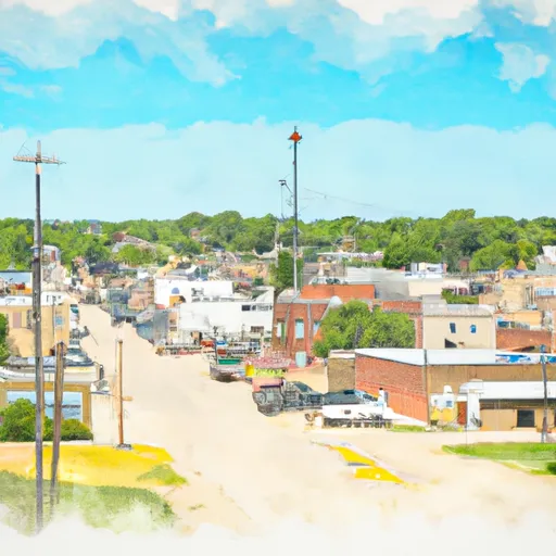
Le-Roy
Eden Index
Climate
9.7
•
Recreation
2.9
•
Community
1.3
•
Safeguard
5.2/10
Located in Coffey County, Kansas, Le-Roy is a small town with a population of approximately 561 people. The climate in Le-Roy is classified as a humid continental climate, characterized by hot, humid summers and cold winters. Average temperatures range from 24°F (-4°C) in January to 91°F (33°C) in July. Precipitation is fairly evenly distributed throughout the year, with an average annual rainfall of around 39 inches.
Le-Roy is situated near several bodies of water, including the Neosho River and numerous ponds and lakes. These hydrological constituents provide opportunities for fishing, boating, and swimming. Anglers can find a variety of fish species, including crappie, bass, catfish, and sunfish.
Outdoor enthusiasts will also appreciate the recreational opportunities available in Le-Roy. The area is surrounded by natural beauty, offering opportunities for hiking, camping, and wildlife viewing. Nearby recreational areas such as the Wolf Creek Wildlife Area and the Coffey County Lake provide additional opportunities for outdoor activities.
In summary, Le-Roy, Kansas, experiences a humid continental climate with hot summers and cold winters. Its hydrological constituents, including the Neosho River and local lakes, allow for various water-based recreational activities. Additionally, the town's natural surroundings offer opportunities for hiking, camping, and wildlife viewing.
What is the Eden Index?
The Snoflo Eden Index serves as a comprehensive rating system for regions, evaluating their desirability through a holistic assessment of climate health, outdoor recreation opportunities, and natural disaster risk, acknowledging the profound impact of these factors on livability and well-being.
Climate Health Indicator (CHI): 9.7
Le-Roy receives approximately
1019mm of rain per year,
with humidity levels near 79%
and air temperatures averaging around
13°C.
Le-Roy has a plant hardyness factor of
6, meaning
plants and agriculture in this region thrive during a short period during spring and early summer. Most
plants will die off during the colder winter months.
By considering the ideal temperature range, reliable water supplies, clean air, and stable seasonal rain or snowpacks, the Climate Health Indicator (CHI) underscores the significance of a healthy climate as the foundation for quality living.
A healthy climate is paramount for ensuring a high quality of life and livability in a region, fostering both physical well-being and environmental harmony. This can be characterized by ideal temperatures, reliable access to water supplies, clean air, and consistent seasonal rain or snowpacks.
Weather Forecast
Streamflow Conditions
Neosho
Area Rivers
Neosho
Snowpack Depths
Neosho
Reservoir Storage Capacity
Neosho
Groundwater Levels
Recreational Opportunity Index (ROI): 2.9
The Recreational Opportunity Index (ROI) recognizes the value of outdoor recreational options, such as parks, hiking trails, camping sites, and fishing spots, while acknowledging that climate plays a pivotal role in ensuring the comfort and consistency of these experiences.
Access to outdoor recreational opportunities, encompassing activities such as parks, hiking, camping, and fishing, is crucial for overall well-being, and the climate plays a pivotal role in enabling and enhancing these experiences, ensuring that individuals can engage in nature-based activities comfortably and consistently.
Camping Areas
| Campground | Campsites | Reservations | Toilets | Showers | Elevation |
|---|---|---|---|---|---|
| Bluff Landing - Arkansas River | None | 539 ft | |||
| Michigan Valley - Pomona Reservoir | 95 | 998 ft | |||
| Outlet Park - Pomona Reservoir | 35 | 980 ft | |||
| Turkey Point - Melvern Lake | None | 1,075 ft | |||
| Afton Landing - Chouteau Lake | None | 523 ft | |||
| Big Creek Ramp - Oologah Lake | None | 653 ft | |||
| Newt Graham Lock and Dam - Arkansas River | None | 521 ft | |||
| Eisenhower State Park | 230 | 1,082 ft | |||
| Arrow Rock - Melvern Reservoir | None | 1,087 ft | |||
| Pomona State Park | 370 | 1,023 ft |
Nearby Fishing
Catastrophe Safeguard Index (CSI):
The Catastrophe Safeguard Index (CSI) recognizes that natural disaster risk, encompassing floods, fires, hurricanes, and tornadoes, can drastically affect safety and the overall appeal of an area.
The level of natural disaster risk in a region significantly affects safety and the overall livability, with climate change amplifying these risks by potentially increasing the frequency and intensity of events like floods, fires, hurricanes, and tornadoes, thereby posing substantial challenges to community resilience and well-being.
Community Resilience Indicator (CRI): 1.3
The Community Resilience Indicator (CRI) recognizes that education, healthcare, and socioeconomics are crucial to the well-being of a region. The CRI acknowledges the profound impact of these elements on residents' overall quality of life. By evaluating educational resources, healthcare accessibility, and economic inclusivity, the index captures the essential aspects that contribute to a thriving community, fostering resident satisfaction, equity, and social cohesion.