

-
 Snoflo Premium
Get unlimited access to all our content
With no Ad interruptions! - Start Your Free Trial Login with existing account
Portage
Eden Index
Climate
7.8
•
Recreation
4.2
•
Community
3.7
•
Safeguard
5.5/10
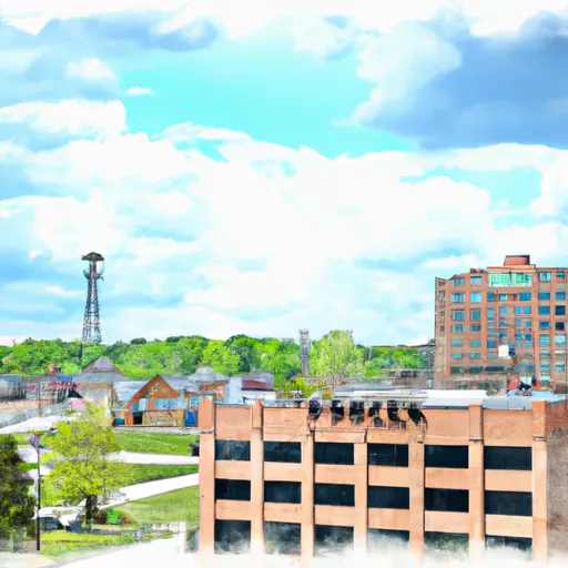
Portage, Michigan is a vibrant city located in Kalamazoo County. The climate in Portage is classified as a humid continental climate, characterized by warm summers and cold winters. Average temperatures range from the high 70s°F in summer to the low 20s°F in winter. The region experiences moderate precipitation throughout the year.
Portage is known for its abundant water resources, with several lakes and rivers within its vicinity. The largest water body in the area is the picturesque West Lake, offering opportunities for fishing, boating, and swimming. The Portage Creek, a tributary of the Kalamazoo River, flows through the city, providing additional recreational activities such as kayaking and canoeing.
Outdoor enthusiasts can explore the numerous parks and trails in Portage. The Portage Bikeway Trail System spans over 50 miles, allowing for biking, jogging, and walking. The Portage Creek Bicentennial Park offers opportunities for picnicking, hiking, and birdwatching. Additionally, the nearby Fort Custer State Recreation Area provides camping, hunting, and fishing opportunities.
Overall, Portage, Michigan, with its favorable climate, abundant water resources, and diverse outdoor recreation options, is an idyllic destination for nature lovers and outdoor enthusiasts.
What is the Eden Index?
The Snoflo Eden Index serves as a comprehensive rating system for regions, evaluating their desirability through a holistic assessment of climate health, outdoor recreation opportunities, and natural disaster risk, acknowledging the profound impact of these factors on livability and well-being.
Climate Health Indicator (CHI): 7.8
Portage receives approximately
962mm of rain per year,
with humidity levels near 83%
and air temperatures averaging around
10°C.
Portage has a plant hardyness factor of
6, meaning
plants and agriculture in this region thrive during a short period during spring and early summer. Most
plants will die off during the colder winter months.
By considering the ideal temperature range, reliable water supplies, clean air, and stable seasonal rain or snowpacks, the Climate Health Indicator (CHI) underscores the significance of a healthy climate as the foundation for quality living.
A healthy climate is paramount for ensuring a high quality of life and livability in a region, fostering both physical well-being and environmental harmony. This can be characterized by ideal temperatures, reliable access to water supplies, clean air, and consistent seasonal rain or snowpacks.
Weather Forecast
Streamflow Conditions
Southeastern Lake Michigan
Area Rivers
Southeastern Lake Michigan
Snowpack Depths
Southeastern Lake Michigan
Reservoir Storage Capacity
Southeastern Lake Michigan
Groundwater Levels
Recreational Opportunity Index (ROI): 4.2
The Recreational Opportunity Index (ROI) recognizes the value of outdoor recreational options, such as parks, hiking trails, camping sites, and fishing spots, while acknowledging that climate plays a pivotal role in ensuring the comfort and consistency of these experiences.
Access to outdoor recreational opportunities, encompassing activities such as parks, hiking, camping, and fishing, is crucial for overall well-being, and the climate plays a pivotal role in enabling and enhancing these experiences, ensuring that individuals can engage in nature-based activities comfortably and consistently.
Camping Areas
| Campground | Campsites | Reservations | Toilets | Showers | Elevation |
|---|---|---|---|---|---|
| Salamonie State Lake - Lost Bridge West SRA | 250 | 794 ft | |||
| Wabash City RV Park | None | 661 ft | |||
| Nottawa Park | 20 | 831 ft | |||
| Hidden Diamonds City Park | None | 901 ft | |||
| Kil-So-Quah - J. Edward Roush Lake | 90 | 807 ft | |||
| Lost Bridge State Rec Area - Salamonie Lake | None | 794 ft | |||
| Elkhart County Fairgrounds | 222 | 803 ft | |||
| Mt. Etna State Rec Area | None | 819 ft | |||
| Lake Clare Park Camp | 18 | 746 ft | |||
| Chain OLakes State Park | 410 | 956 ft |
Nearby Ski Areas
Catastrophe Safeguard Index (CSI):
The Catastrophe Safeguard Index (CSI) recognizes that natural disaster risk, encompassing floods, fires, hurricanes, and tornadoes, can drastically affect safety and the overall appeal of an area.
The level of natural disaster risk in a region significantly affects safety and the overall livability, with climate change amplifying these risks by potentially increasing the frequency and intensity of events like floods, fires, hurricanes, and tornadoes, thereby posing substantial challenges to community resilience and well-being.
Community Resilience Indicator (CRI): 3.7
The Community Resilience Indicator (CRI) recognizes that education, healthcare, and socioeconomics are crucial to the well-being of a region. The CRI acknowledges the profound impact of these elements on residents' overall quality of life. By evaluating educational resources, healthcare accessibility, and economic inclusivity, the index captures the essential aspects that contribute to a thriving community, fostering resident satisfaction, equity, and social cohesion.