

-
 Snoflo Premium
Get unlimited access to all our content
With no Ad interruptions! - Start Your Free Trial Login with existing account
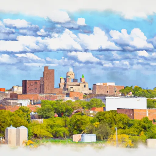
Saint-Paul
Eden Index
Climate
8.3
•
Recreation
2.0
•
Community
1.7
•
Safeguard
4.4/10
Saint-Paul, Kansas is a small town located in the southeastern part of the state. The climate in Saint-Paul is classified as humid subtropical, characterized by hot summers and mild winters. The average high temperature in the summer months is around 90°F (32°C), while the average low temperature in winter is around 25°F (-4°C). Precipitation is evenly distributed throughout the year, with an average annual rainfall of around 40 inches (1016 mm).
In terms of hydrology constituents, Saint-Paul is situated near the Neosho River, which provides water for irrigation and recreational activities. The river also supports diverse aquatic life, making it a popular spot for fishing enthusiasts. Other nearby bodies of water include several ponds and lakes, offering opportunities for boating, kayaking, and swimming.
Outdoor recreation opportunities in Saint-Paul are abundant. The region boasts numerous parks and nature reserves, providing opportunities for hiking, camping, bird-watching, and wildlife observation. The nearby Ozark Plateau offers scenic landscapes and beautiful trails for outdoor enthusiasts to explore. Additionally, the town hosts various community events and festivals throughout the year, showcasing local culture and promoting outdoor activities.
What is the Eden Index?
The Snoflo Eden Index serves as a comprehensive rating system for regions, evaluating their desirability through a holistic assessment of climate health, outdoor recreation opportunities, and natural disaster risk, acknowledging the profound impact of these factors on livability and well-being.
Climate Health Indicator (CHI): 8.3
Saint-Paul receives approximately
1112mm of rain per year,
with humidity levels near 81%
and air temperatures averaging around
14°C.
Saint-Paul has a plant hardyness factor of
6, meaning
plants and agriculture in this region thrive during a short period during spring and early summer. Most
plants will die off during the colder winter months.
By considering the ideal temperature range, reliable water supplies, clean air, and stable seasonal rain or snowpacks, the Climate Health Indicator (CHI) underscores the significance of a healthy climate as the foundation for quality living.
A healthy climate is paramount for ensuring a high quality of life and livability in a region, fostering both physical well-being and environmental harmony. This can be characterized by ideal temperatures, reliable access to water supplies, clean air, and consistent seasonal rain or snowpacks.
Weather Forecast
Streamflow Conditions
Neosho
Area Rivers
Neosho
Snowpack Depths
Neosho
Reservoir Storage Capacity
Neosho
Groundwater Levels
Recreational Opportunity Index (ROI): 2.0
The Recreational Opportunity Index (ROI) recognizes the value of outdoor recreational options, such as parks, hiking trails, camping sites, and fishing spots, while acknowledging that climate plays a pivotal role in ensuring the comfort and consistency of these experiences.
Access to outdoor recreational opportunities, encompassing activities such as parks, hiking, camping, and fishing, is crucial for overall well-being, and the climate plays a pivotal role in enabling and enhancing these experiences, ensuring that individuals can engage in nature-based activities comfortably and consistently.
Camping Areas
| Campground | Campsites | Reservations | Toilets | Showers | Elevation |
|---|---|---|---|---|---|
| Spaniard Creek - Webbers Falls Lake | None | 506 ft | |||
| Greenleaf State Park | None | 699 ft | |||
| Dam Site South - Eufaula Lake | None | 652 ft | |||
| Brewers Bend - Webbers Falls Lake | None | 529 ft | |||
| Strayhorn Landing - Tenkiller Ferry Lake | None | 741 ft | |||
| Arrowhead Point - Webbers Falls Lake | None | 530 ft | |||
| Gore Landing | 22 | 464 ft | |||
| John Wells Park | None | 686 ft | |||
| Cato Creek Landing - Tenkiller Ferry Lake | None | 668 ft | |||
| Tenkiller State Park | None | 738 ft |
Nearby Fishing
Catastrophe Safeguard Index (CSI):
The Catastrophe Safeguard Index (CSI) recognizes that natural disaster risk, encompassing floods, fires, hurricanes, and tornadoes, can drastically affect safety and the overall appeal of an area.
The level of natural disaster risk in a region significantly affects safety and the overall livability, with climate change amplifying these risks by potentially increasing the frequency and intensity of events like floods, fires, hurricanes, and tornadoes, thereby posing substantial challenges to community resilience and well-being.
Community Resilience Indicator (CRI): 1.7
The Community Resilience Indicator (CRI) recognizes that education, healthcare, and socioeconomics are crucial to the well-being of a region. The CRI acknowledges the profound impact of these elements on residents' overall quality of life. By evaluating educational resources, healthcare accessibility, and economic inclusivity, the index captures the essential aspects that contribute to a thriving community, fostering resident satisfaction, equity, and social cohesion.