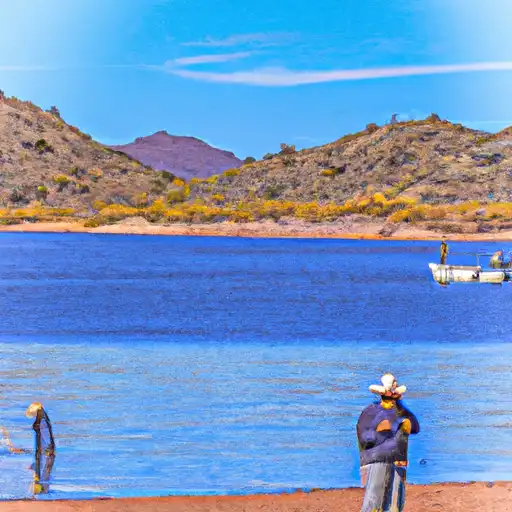
New Waddell dam

New Waddell
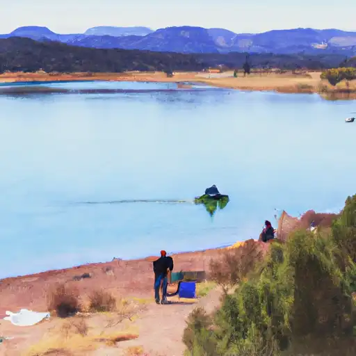
New Waddell is a Federal-owned dam in Maricopa, Arizona, with a primary purpose of flood risk reduction. Completed in 1992, this rockfill dam stands at an impressive 438 feet in height and has a storage capacity of over 1 million acre-feet. Situated on the Agua Fria River in the Los Angeles District, New Waddell not only serves its primary purpose but also contributes to hydroelectric power generation, recreational activities, and water supply for the region.
Managed by the Bureau of Reclamation, New Waddell has a high hazard potential and is classified as very high risk, emphasizing the critical importance of its maintenance and monitoring. Although its condition assessment is not available, regular inspections are conducted to ensure its structural integrity and safety. With a controlled spillway and a surface area of 9957 acres, New Waddell plays a vital role in managing water resources and mitigating flood risks in the Phoenix area.
As a key infrastructure project in Arizona, New Waddell represents a significant investment in water resource management and climate resilience. Its strategic location, design features, and multi-purpose functionality make it a valuable asset for the community and a crucial component of the region's water infrastructure. The dam's role in flood control, water supply, and recreational opportunities underscores its importance in ensuring the sustainable development and resilience of the surrounding areas in the face of changing climate patterns and water resource challenges.
Plan around the weather
Same NOAA / yr.no feed Snoflo's iOS app uses. Watch the precipitation column on the meteogram -- rain on the basin upstream typically lifts inflow 24-72 hours later.
Next 5 days, hour by hour
Temperature line with weather symbols on top, snow + rain accumulation as columns, humidity as a dotted line.
5-day forecast table
Every 3 hours, broken out across temperature, snow, rain, humidity, and wind. Each cell is colour-coded relative to the column min/max.
| Time | Condition | Temp (°F) | Snow (in) | Rain (in) | Humidity (%) | Wind (mps) | Wind dir |
|---|---|---|---|---|---|---|---|
| Loading detailed forecast… | |||||||
15-day temperature & precipitation
Daily temperatures, snow, and rain projected over the next two weeks.
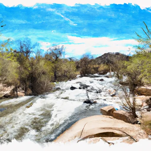
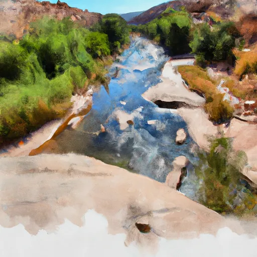
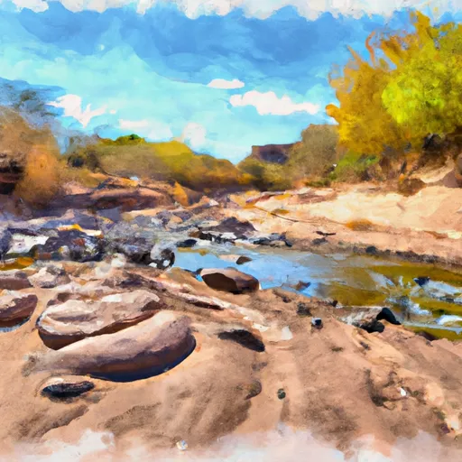
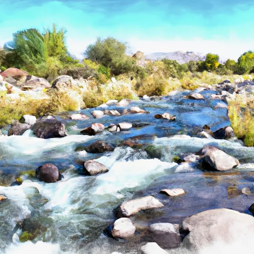
Nearby streamflow gauges
USGS streamgauges around New Waddell -- inflows here typically show up in storage 24-72 hours later.
| Streamgauge | Discharge | View |
|---|---|---|
| Skunk Creek Near Phoenix | · | → |
| Agua Fria River Near Rock Springs | · | → |
| New River Near Rock Springs | · | → |
| Cave Creek Blw Cottonwood Cr Near Cave Creek | · | → |
| Hassayampa River Near Morristown | · | → |
| Salt River At 51st Avenue | 0 cfs | → |


About New Waddell
Where does the data for New Waddell come from?
Structural and regulatory data come from the U.S. Army Corps of Engineers' National Inventory of Dams (NID). Weather forecast comes from NOAA / yr.no -- the same feed Snoflo's iOS app uses.
How often is the report updated?
NID structural data refreshes annually as the Corps publishes updated assessments. The weather forecast refreshes throughout the day.
What does the High hazard rating mean?
The Corps of Engineers' hazard potential classification grades probable consequences if the dam fails: High = probable loss of human life; Significant = no probable loss of human life but possible economic loss / environmental damage; Low = no probable loss of human life, only minor economic / environmental losses. See the Dam Data Reference card below for the full definitions.
What's "% of normal"?
The current storage value compared to the historical average storage on this calendar day. 100% = right on average; values above 100% mean above-normal storage (wet year); values below mean below-normal (dry year or drought).
Can I get alerts when storage crosses a threshold?
Yes -- alerts are managed in the Snoflo iOS app. Favorite this dam, set a threshold, and you'll get a push the moment conditions cross.
Dam data reference
Condition Assessment
- Satisfactory
- No existing or potential dam safety deficiencies are recognized. Acceptable performance is expected under all loading conditions (static, hydrologic, seismic) in accordance with the minimum applicable state or federal regulatory criteria or tolerable risk guidelines.
- Fair
- No existing dam safety deficiencies are recognized for normal operating conditions. Rare or extreme hydrologic and/or seismic events may result in a dam safety deficiency. Risk may be in the range to take further action.
- Poor
- A dam safety deficiency is recognized for normal operating conditions which may realistically occur. Remedial action is necessary. POOR may also be used when uncertainties exist as to critical analysis parameters which identify a potential dam safety deficiency.
- Unsatisfactory
- A dam safety deficiency is recognized that requires immediate or emergency remedial action for problem resolution.
- Not Rated
- The dam has not been inspected, is not under state or federal jurisdiction, or has been inspected but, for whatever reason, has not been rated.
Hazard Potential Classification
- High
- Dams assigned the high hazard potential classification are those where failure or mis-operation will probably cause loss of human life.
- Significant
- Dams assigned the significant hazard potential classification are those dams where failure or mis-operation results in no probable loss of human life but can cause economic loss, environmental damage, disruption of lifeline facilities, or impact other concerns. Significant hazard potential classification dams are often located in predominantly rural or agricultural areas but could be in areas with population and significant infrastructure.
- Low
- Dams assigned the low hazard potential classification are those where failure or mis-operation results in no probable loss of human life and low economic and/or environmental losses. Losses are principally limited to the owner's property.
- Undetermined
- Dams for which a downstream hazard potential has not been designated or is not provided.