


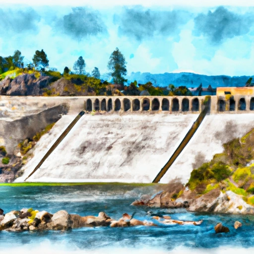
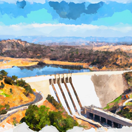
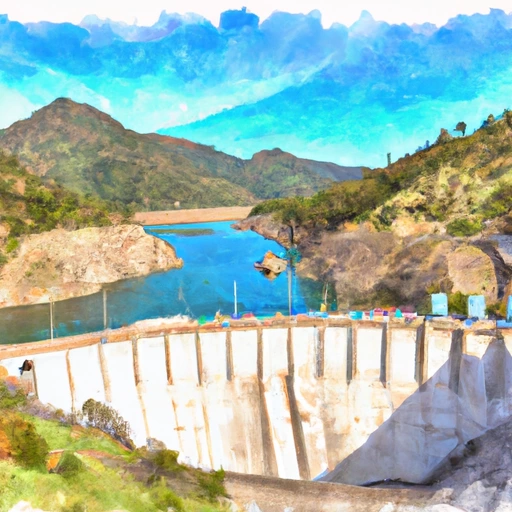
Terminus Dam Reservoir Report
Last Updated: May 3, 2026
°F
°F
mph
Wind
%
Humidity
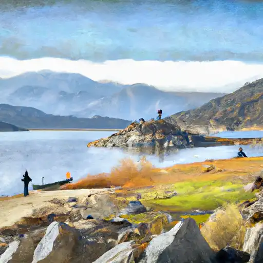
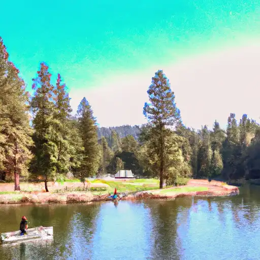
Terminus Dam, located in the Kaweah River Canyon of California, was built in 1962 and has a capacity of 53,900-acre feet.
Summary
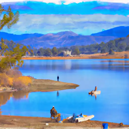
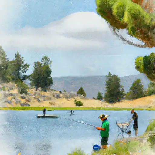
It was constructed to control flooding and provide irrigation water for the surrounding agricultural land. The dam is managed by the Kaweah Delta Water Conservation District and receives its water from surface flow and snowpack from the Sierra Nevada Mountains. The Kaweah River, which is the primary tributary to the dam, provides water to several irrigation districts, including the Tulare Irrigation District. The dam also provides water for recreation activities such as fishing and boating. However, in recent years, the dam has faced challenges due to drought and the overuse of groundwater, leading to a reduction in water supply for agriculture and recreation.
Regional Streamflow Levels
15-Day Long Term Forecast
Reservoir Details
| Storage 24hr Change | -5.3% |
| Percent of Normal | 77% |
| Minimum |
8,065.0 acre-ft
2005-02-01 |
| Maximum |
268,178.0 acre-ft
2023-10-26 |
| Average | 101,245 acre-ft |
| Nid_Height | 255 |
| Hydraulic_Height | 245 |
| Primary_Dam_Type | Earth |
| Drainage_Area | 560 |
| Year_Completed | 1962 |
| Dam_Height | 235 |
| Structural_Height | 255 |
| Surface_Area | 1945 |
| Nid_Storage | 143000 |
| River_Or_Stream | KAWEAH RIVER |
| Dam_Length | 2375 |
| Hazard_Potential | High |
Seasonal Comparison
Storage Levels
Pool Elevation Levels
Top Conserv Storage Levels
Inflow Levels
5-Day Hourly Forecast Detail
Dam Data Reference
Condition Assessment
SatisfactoryNo existing or potential dam safety deficiencies are recognized. Acceptable performance is expected under all loading conditions (static, hydrologic, seismic) in accordance with the minimum applicable state or federal regulatory criteria or tolerable risk guidelines.
Fair
No existing dam safety deficiencies are recognized for normal operating conditions. Rare or extreme hydrologic and/or seismic events may result in a dam safety deficiency. Risk may be in the range to take further action. Note: Rare or extreme event is defined by the regulatory agency based on their minimum
Poor A dam safety deficiency is recognized for normal operating conditions which may realistically occur. Remedial action is necessary. POOR may also be used when uncertainties exist as to critical analysis parameters which identify a potential dam safety deficiency. Investigations and studies are necessary.
Unsatisfactory
A dam safety deficiency is recognized that requires immediate or emergency remedial action for problem resolution.
Not Rated
The dam has not been inspected, is not under state or federal jurisdiction, or has been inspected but, for whatever reason, has not been rated.
Not Available
Dams for which the condition assessment is restricted to approved government users.
Hazard Potential Classification
HighDams assigned the high hazard potential classification are those where failure or mis-operation will probably cause loss of human life.
Significant
Dams assigned the significant hazard potential classification are those dams where failure or mis-operation results in no probable loss of human life but can cause economic loss, environment damage, disruption of lifeline facilities, or impact other concerns. Significant hazard potential classification dams are often located in predominantly rural or agricultural areas but could be in areas with population and significant infrastructure.
Low
Dams assigned the low hazard potential classification are those where failure or mis-operation results in no probable loss of human life and low economic and/or environmental losses. Losses are principally limited to the owner's property.
Undetermined
Dams for which a downstream hazard potential has not been designated or is not provided.
Not Available
Dams for which the downstream hazard potential is restricted to approved government users.
Area Campgrounds
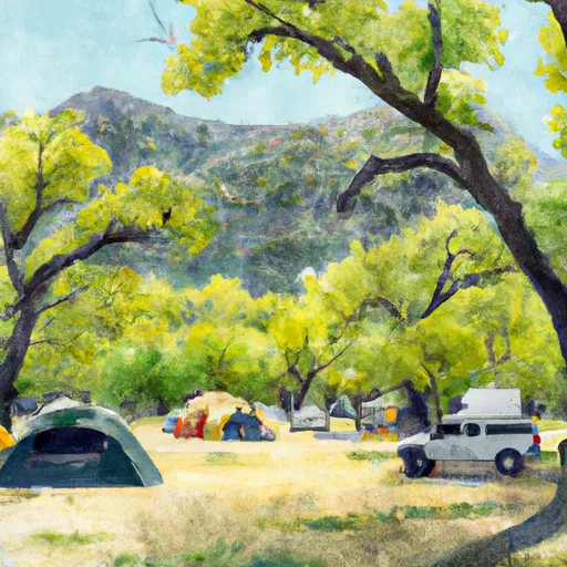 Kaweah Oaks Campground
 Potwisha
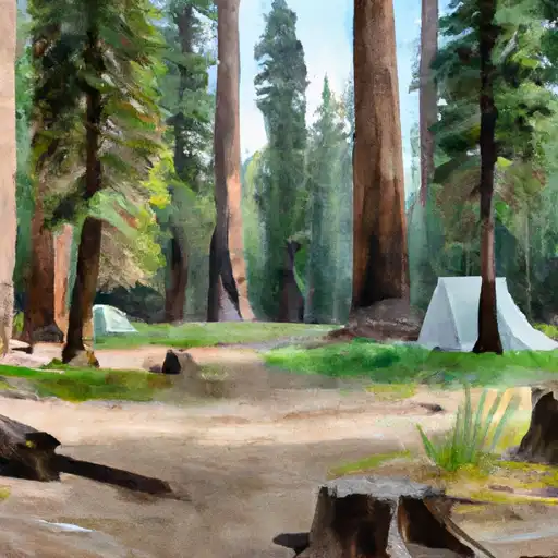 Potwisha - Sequoia National Park
 Grouse Valley Cabin Complex
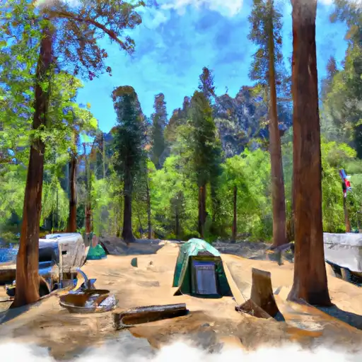 South Fork - Sequoia National Park
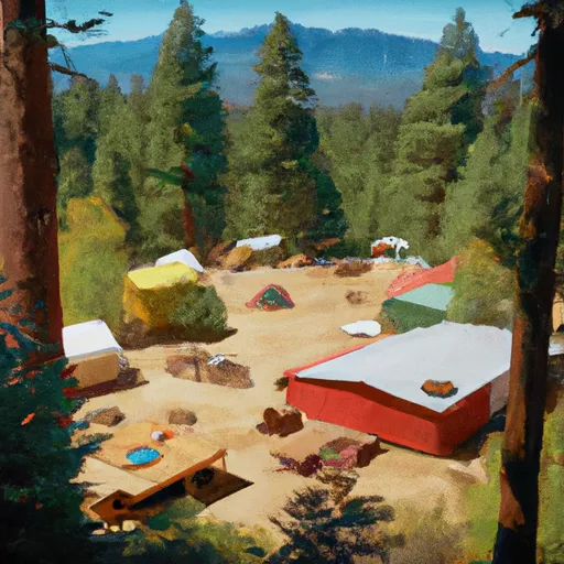
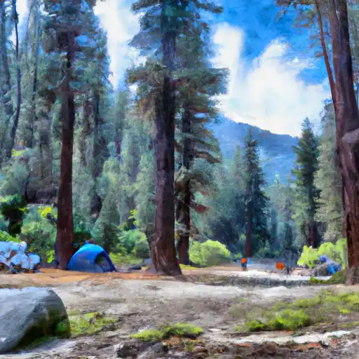 Buckeye Flat - Sequoia National Park
 Terminus Dam
 Success Dam
 Pine Flat Dam
 Wishon
 Courtright (Pg&E)
 Shaver Lake
River Runs
-
 Wilderness Boundary (Boundary Extend 0.25 Mile On Each Side Of River) To Boundary Of Sequoia & Kings Canyon National Park
-
 Nf Boundary With Sequoia Np To Nf Boundary
-
 Atwell Mill Trail Bridge At ~5,800 Ft (Boundary Extends 0.25 Mile On Each Side Of The River.) To Boundary Of Sequoia & Kings Canyon National Park
-
 Wilderness Boundary Just Below Tokopah Falls (Boundary Extend 0.25 Mile On Each Side Of River) To Confluence With The Middle Fork Kaweah River
-
 Outlet Of Green Meadows North Of The Windy Gap And Windy Ridges (Boundary Extend 0.25 Mile On Each Side Of River) To Bridge Above South Fork Campground
-
 9,000 Ft Contour Line (Boundary Extend 0.25 Mile On Each Side Of River) To 8,000 Ft Contour Line
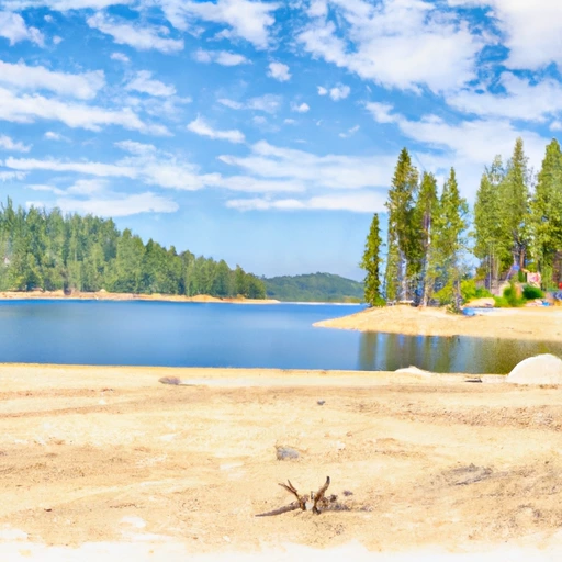
 Kaweah Lake
 Bravo Lake
 Little Bravo Lake
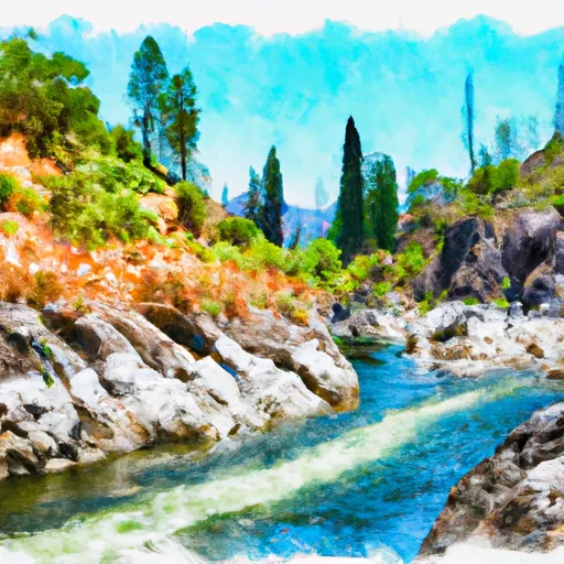
 Kaweah River
 Balch Park Lakes, western lake