Friant Dam (millerton) Reservoir

Friant Dam (Millerton)
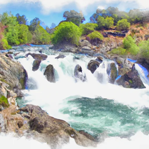
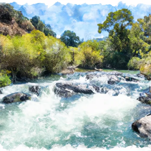
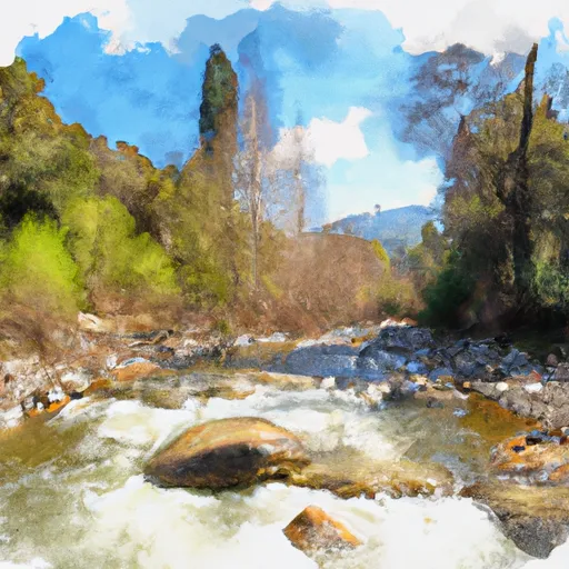
Friant Dam, located in California's Central Valley, was built in 1942 to control flooding and provide water for agricultural purposes. The dam is situated on the San Joaquin River and creates Millerton Lake, which has a capacity of 520,500 acre-feet. The hydrology of the area relies heavily on snowpack in the Sierra Nevada mountains, which feeds into the San Joaquin River. The dam provides irrigation water to approximately one million acres of farmland in the San Joaquin Valley, as well as drinking water to several cities. The area around Millerton Lake is popular for recreational activities such as fishing, boating, and camping. However, in recent years, the dam has faced challenges due to drought and reduced snowpack, leading to decreased water levels in the reservoir and impacts on agricultural and recreational uses.
Plan around the weather
Same NOAA / yr.no feed Snoflo's iOS app uses. Watch the precipitation column on the meteogram -- rain on the basin upstream typically lifts inflow 24-72 hours later.
Next 5 days, hour by hour
Temperature line with weather symbols on top, snow + rain accumulation as columns, humidity as a dotted line.
5-day forecast table
Every 3 hours, broken out across temperature, snow, rain, humidity, and wind. Each cell is colour-coded relative to the column min/max.
| Time | Condition | Temp (°F) | Snow (in) | Rain (in) | Humidity (%) | Wind (mps) | Wind dir |
|---|---|---|---|---|---|---|---|
| Loading detailed forecast… | |||||||
15-day temperature & precipitation
Daily temperatures, snow, and rain projected over the next two weeks.
Nearby streamflow gauges
USGS streamgauges around Friant Dam (Millerton) -- inflows here typically show up in storage 24-72 hours later.
| Streamgauge | Discharge | View |
|---|---|---|
| San Joaquin R Bl Friant Ca | 341 cfs | → |
| Nf Willow C Nr Sugar Pine Ca | 416 cfs | → |
| Big C Div Nr Fish Camp Ca | 0 cfs | → |
| San Joaquin R Nr Mendota Ca | 149 cfs | → |
| Merced R A Pohono Bridge Nr Yosemite Ca | 88 cfs | → |
| Merced R A Happy Isles Bridge Nr Yosemite Ca | 68 cfs | → |
Make a day of it
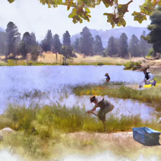
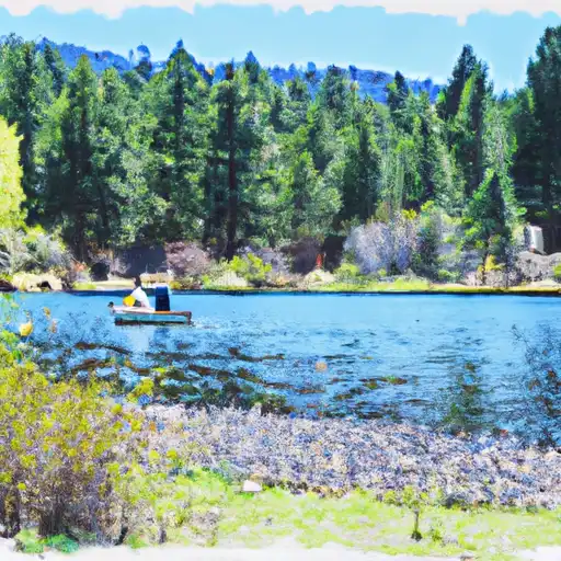
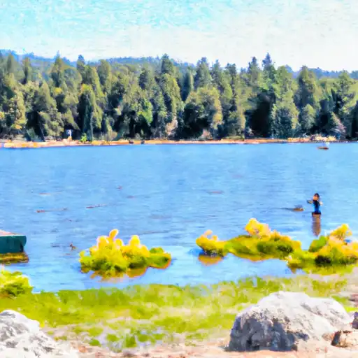
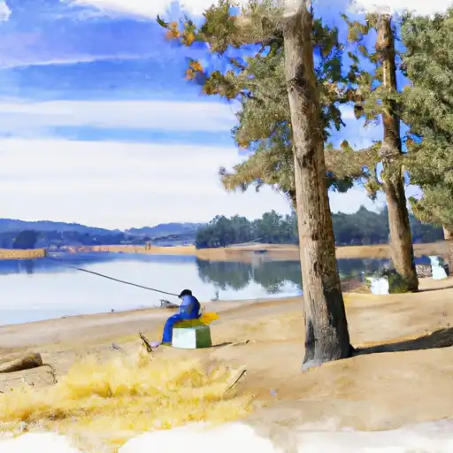
Boat launches, lakeside camping, fishing access, and other reservoirs near Friant Dam (Millerton).
Boat launches
See all →

Campgrounds
See all →


Fishing spots
See all →
River runs
See all →


About Friant Dam (Millerton)
Where does the data for Friant Dam (millerton) come from?
Daily storage, pool elevation, and release rates are sourced from USGS, USBR, and USACE monitoring stations. Weather forecast comes from NOAA / yr.no -- the same feed Snoflo's iOS app uses.
How often is the report updated?
Storage observations are updated daily by the operating agency. The 15-day weather forecast refreshes throughout the day. Snoflo caches and renders the most recent observation -- check the "as of" timestamp on the storage card.
What does the Hazard hazard rating mean?
The Corps of Engineers' hazard potential classification grades probable consequences if the dam fails: High = probable loss of human life; Significant = no probable loss of human life but possible economic loss / environmental damage; Low = no probable loss of human life, only minor economic / environmental losses. See the Dam Data Reference card below for the full definitions.
What's "% of normal"?
The current storage value compared to the historical average storage on this calendar day. 100% = right on average; values above 100% mean above-normal storage (wet year); values below mean below-normal (dry year or drought).
Can I get alerts when storage crosses a threshold?
Yes -- alerts are managed in the Snoflo iOS app. Favorite this reservoir, set a threshold, and you'll get a push the moment conditions cross.