Brentwood Park dam

Brentwood Park
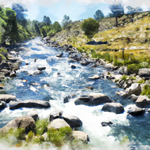
Brentwood Park, located in Mono Vista, California, is a privately owned dam that serves as a crucial water supply source in the area. Completed in 1964, this earth dam stands at a height of 58 feet and has a hydraulic height of 54.2 feet, with a storage capacity of 80 acre-feet. The dam sits on Tr Sullivan Creek and covers a surface area of 6 acres, with a drainage area of 0.5 square miles.
Managed by the California Department of Water Resources (DWR) under the Safety of Dams program, Brentwood Park is subject to state regulation, permitting, inspection, and enforcement. The dam is primarily used for water supply but also offers recreational opportunities in the surrounding area. Despite being classified as having a high hazard potential, the dam's condition assessment is rated as satisfactory as of September 2017.
With its strategic location and vital role in water supply, Brentwood Park is a key asset to the community and contributes to the region's water resource management and climate resilience efforts. Regular inspections and adherence to safety regulations ensure that the dam continues to serve its purpose effectively while providing recreational benefits to the local area. As a privately owned structure, its maintenance and operation are critical in ensuring the safety and sustainability of the water supply system it supports.
Plan around the weather
Same NOAA / yr.no feed Snoflo's iOS app uses. Watch the precipitation column on the meteogram -- rain on the basin upstream typically lifts inflow 24-72 hours later.
Next 5 days, hour by hour
Temperature line with weather symbols on top, snow + rain accumulation as columns, humidity as a dotted line.
5-day forecast table
Every 3 hours, broken out across temperature, snow, rain, humidity, and wind. Each cell is colour-coded relative to the column min/max.
| Time | Condition | Temp (°F) | Snow (in) | Rain (in) | Humidity (%) | Wind (mps) | Wind dir |
|---|---|---|---|---|---|---|---|
| Loading detailed forecast… | |||||||
15-day temperature & precipitation
Daily temperatures, snow, and rain projected over the next two weeks.
Nearby streamflow gauges
USGS streamgauges around Brentwood Park -- inflows here typically show up in storage 24-72 hours later.
| Streamgauge | Discharge | View |
|---|---|---|
| Big C Ab Whites Gulch Nr Groveland Ca | · | → |
| Cherry C Bl Dion R Holm Ph | 98 cfs | → |
| Cherry C Nr Early Intake Ca | 39 cfs | → |
| Tuolumne R Bl Early Intake Nr Mather Ca | 136 cfs | → |
| Cherry C Bl Valley Dam Nr Hetch Hetchy Ca | 16 cfs | → |
| Tuolumne R Ab Early Intake Nr Mather Ca | 119 cfs | → |
Make a day of it
Boat launches, lakeside camping, fishing access, and other reservoirs near Brentwood Park.
Boat launches
See all →


Campgrounds
See all →


Fishing spots
See all →


River runs
See all →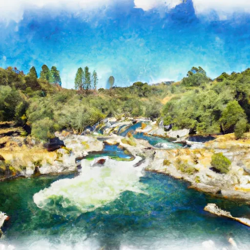


About Brentwood Park
Where does the data for Brentwood Park come from?
Structural and regulatory data come from the U.S. Army Corps of Engineers' National Inventory of Dams (NID). Weather forecast comes from NOAA / yr.no -- the same feed Snoflo's iOS app uses.
How often is the report updated?
NID structural data refreshes annually as the Corps publishes updated assessments. The weather forecast refreshes throughout the day.
What does the High hazard rating mean?
The Corps of Engineers' hazard potential classification grades probable consequences if the dam fails: High = probable loss of human life; Significant = no probable loss of human life but possible economic loss / environmental damage; Low = no probable loss of human life, only minor economic / environmental losses. See the Dam Data Reference card below for the full definitions.
What's "% of normal"?
The current storage value compared to the historical average storage on this calendar day. 100% = right on average; values above 100% mean above-normal storage (wet year); values below mean below-normal (dry year or drought).
Can I get alerts when storage crosses a threshold?
Yes -- alerts are managed in the Snoflo iOS app. Favorite this dam, set a threshold, and you'll get a push the moment conditions cross.
Dam data reference
Condition Assessment
- Satisfactory
- No existing or potential dam safety deficiencies are recognized. Acceptable performance is expected under all loading conditions (static, hydrologic, seismic) in accordance with the minimum applicable state or federal regulatory criteria or tolerable risk guidelines.
- Fair
- No existing dam safety deficiencies are recognized for normal operating conditions. Rare or extreme hydrologic and/or seismic events may result in a dam safety deficiency. Risk may be in the range to take further action.
- Poor
- A dam safety deficiency is recognized for normal operating conditions which may realistically occur. Remedial action is necessary. POOR may also be used when uncertainties exist as to critical analysis parameters which identify a potential dam safety deficiency.
- Unsatisfactory
- A dam safety deficiency is recognized that requires immediate or emergency remedial action for problem resolution.
- Not Rated
- The dam has not been inspected, is not under state or federal jurisdiction, or has been inspected but, for whatever reason, has not been rated.
Hazard Potential Classification
- High
- Dams assigned the high hazard potential classification are those where failure or mis-operation will probably cause loss of human life.
- Significant
- Dams assigned the significant hazard potential classification are those dams where failure or mis-operation results in no probable loss of human life but can cause economic loss, environmental damage, disruption of lifeline facilities, or impact other concerns. Significant hazard potential classification dams are often located in predominantly rural or agricultural areas but could be in areas with population and significant infrastructure.
- Low
- Dams assigned the low hazard potential classification are those where failure or mis-operation results in no probable loss of human life and low economic and/or environmental losses. Losses are principally limited to the owner's property.
- Undetermined
- Dams for which a downstream hazard potential has not been designated or is not provided.