Caribou Lake dam

Caribou Lake
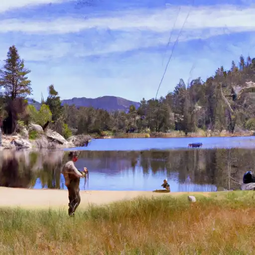
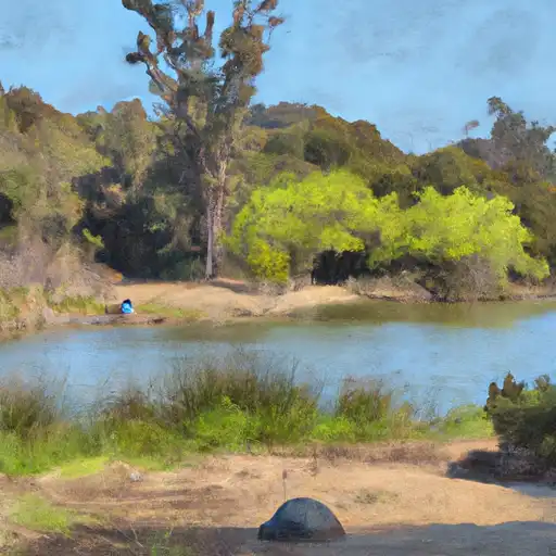
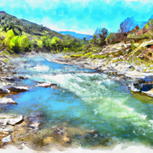
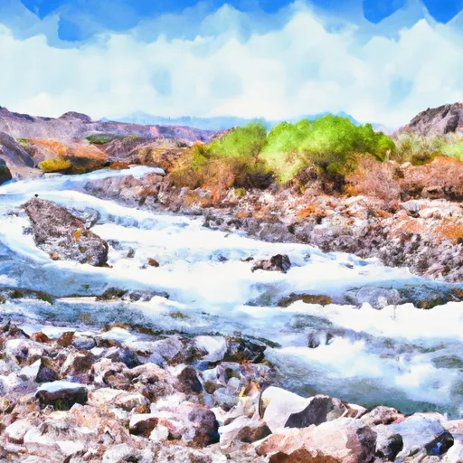
Caribou Lake, located in Lassen County, California, is a privately owned reservoir primarily used for water supply purposes, including irrigation. The dam, completed in 1928, stands at a height of 16 feet and has a storage capacity of 460 acre-feet. Situated on the Susan River, the lake covers a surface area of 67 acres and serves as a vital resource for the surrounding area.
With a significant hazard potential and a satisfactory condition assessment as of September 2017, Caribou Lake is subject to regular inspections by the Department of Water Resources and Safety of Dams. Despite its age, the dam has maintained its structural integrity and continues to provide essential water resources to the region. The surrounding area boasts a rich natural landscape, making Caribou Lake a haven for water resource and climate enthusiasts seeking to explore and appreciate the intersection of human infrastructure and environmental stewardship.
Though not under the jurisdiction of a federal agency, Caribou Lake's presence underscores the importance of sustainable water management practices in the face of evolving climate conditions. Its historical significance and continued operation highlight the ongoing efforts to balance human needs with environmental conservation in the realm of water resource management. As a symbol of resilience and adaptation in the changing climate landscape, Caribou Lake serves as a reminder of the interconnectedness between water resources, climate dynamics, and the need for responsible stewardship of our natural resources.
Plan around the weather
Same NOAA / yr.no feed Snoflo's iOS app uses. Watch the precipitation column on the meteogram -- rain on the basin upstream typically lifts inflow 24-72 hours later.
Next 5 days, hour by hour
Temperature line with weather symbols on top, snow + rain accumulation as columns, humidity as a dotted line.
5-day forecast table
Every 3 hours, broken out across temperature, snow, rain, humidity, and wind. Each cell is colour-coded relative to the column min/max.
| Time | Condition | Temp (°F) | Snow (in) | Rain (in) | Humidity (%) | Wind (mps) | Wind dir |
|---|---|---|---|---|---|---|---|
| Loading detailed forecast… | |||||||
15-day temperature & precipitation
Daily temperatures, snow, and rain projected over the next two weeks.
Nearby streamflow gauges
USGS streamgauges around Caribou Lake -- inflows here typically show up in storage 24-72 hours later.
| Streamgauge | Discharge | View |
|---|---|---|
| Hat C Nr Hat Creek Ca | 131 cfs | → |
| Spanish C Ab Blackhawk C At Keddie Ca | 36 cfs | → |
| Pit R Bl Pit No 1 Ph Nr Fall River Mills Ca | 895 cfs | → |
| Spanish C A Quincy Ca | 19 cfs | → |
| Burney C A Burney Falls Nr Burney Ca | 168 cfs | → |
| Battle C Bl Coleman Fish Hatchery Nr Cottonwood Ca | 248 cfs | → |
Make a day of it
Boat launches, lakeside camping, fishing access, and other reservoirs near Caribou Lake.
Boat launches
See all →


Campgrounds
See all →


Fishing spots
See all →


River runs
See all →


About Caribou Lake
Where does the data for Caribou Lake come from?
Structural and regulatory data come from the U.S. Army Corps of Engineers' National Inventory of Dams (NID). Weather forecast comes from NOAA / yr.no -- the same feed Snoflo's iOS app uses.
How often is the report updated?
NID structural data refreshes annually as the Corps publishes updated assessments. The weather forecast refreshes throughout the day.
What does the Significant hazard rating mean?
The Corps of Engineers' hazard potential classification grades probable consequences if the dam fails: High = probable loss of human life; Significant = no probable loss of human life but possible economic loss / environmental damage; Low = no probable loss of human life, only minor economic / environmental losses. See the Dam Data Reference card below for the full definitions.
What's "% of normal"?
The current storage value compared to the historical average storage on this calendar day. 100% = right on average; values above 100% mean above-normal storage (wet year); values below mean below-normal (dry year or drought).
Can I get alerts when storage crosses a threshold?
Yes -- alerts are managed in the Snoflo iOS app. Favorite this dam, set a threshold, and you'll get a push the moment conditions cross.
Dam data reference
Condition Assessment
- Satisfactory
- No existing or potential dam safety deficiencies are recognized. Acceptable performance is expected under all loading conditions (static, hydrologic, seismic) in accordance with the minimum applicable state or federal regulatory criteria or tolerable risk guidelines.
- Fair
- No existing dam safety deficiencies are recognized for normal operating conditions. Rare or extreme hydrologic and/or seismic events may result in a dam safety deficiency. Risk may be in the range to take further action.
- Poor
- A dam safety deficiency is recognized for normal operating conditions which may realistically occur. Remedial action is necessary. POOR may also be used when uncertainties exist as to critical analysis parameters which identify a potential dam safety deficiency.
- Unsatisfactory
- A dam safety deficiency is recognized that requires immediate or emergency remedial action for problem resolution.
- Not Rated
- The dam has not been inspected, is not under state or federal jurisdiction, or has been inspected but, for whatever reason, has not been rated.
Hazard Potential Classification
- High
- Dams assigned the high hazard potential classification are those where failure or mis-operation will probably cause loss of human life.
- Significant
- Dams assigned the significant hazard potential classification are those dams where failure or mis-operation results in no probable loss of human life but can cause economic loss, environmental damage, disruption of lifeline facilities, or impact other concerns. Significant hazard potential classification dams are often located in predominantly rural or agricultural areas but could be in areas with population and significant infrastructure.
- Low
- Dams assigned the low hazard potential classification are those where failure or mis-operation results in no probable loss of human life and low economic and/or environmental losses. Losses are principally limited to the owner's property.
- Undetermined
- Dams for which a downstream hazard potential has not been designated or is not provided.