


Bath Alum Farm Dam Reservoir Report
Last Updated: May 1, 2026
°F
°F
mph
Wind
%
Humidity
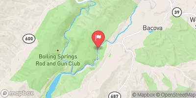
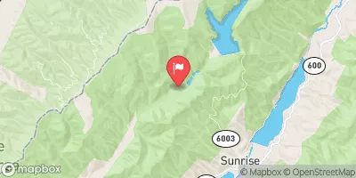
Bath Alum Farm Dam in Virginia is a privately owned structure regulated by the Department of Conservation and Recreation.
Summary
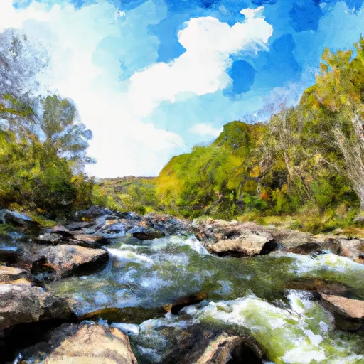
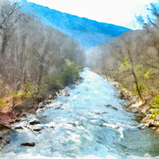
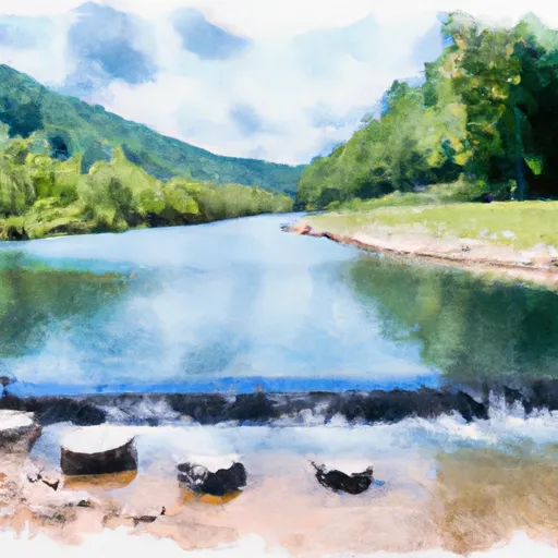
This Earth-type dam, standing at 34 feet high and spanning 350 feet in length, was primarily built for recreational purposes along the TR-JORDAN RUN river. With a storage capacity of 92 acre-feet, the dam provides a surface area of 5 acres for recreational activities in the area.
Although the dam's condition assessment is currently listed as "Not Rated," its hazard potential is deemed significant. The last inspection was conducted in November 2013, with a scheduled frequency of one inspection per year. While the dam's Emergency Action Plan (EAP) status is currently unknown, it is essential for the owners to ensure that all necessary safety measures are in place to mitigate potential risks and protect the surrounding community in case of an emergency.
With its picturesque location in Bath, Virginia, Bath Alum Farm Dam serves as a vital resource for recreational opportunities while also posing a significant hazard potential that warrants careful monitoring and maintenance. As water resource and climate enthusiasts, it is crucial to stay informed about the condition of such structures to ensure the safety and sustainability of our water infrastructure in the face of changing environmental conditions.
Regional Streamflow Levels
15-Day Long Term Forecast
Dam Length |
350 |
Dam Height |
34 |
River Or Stream |
TR-JORDAN RUN |
Primary Dam Type |
Earth |
Surface Area |
5 |
Hydraulic Height |
34 |
Drainage Area |
0.93 |
Nid Storage |
92 |
Structural Height |
34 |
Hazard Potential |
Significant |
Nid Height |
34 |
Seasonal Comparison
5-Day Hourly Forecast Detail
Dam Data Reference
Condition Assessment
SatisfactoryNo existing or potential dam safety deficiencies are recognized. Acceptable performance is expected under all loading conditions (static, hydrologic, seismic) in accordance with the minimum applicable state or federal regulatory criteria or tolerable risk guidelines.
Fair
No existing dam safety deficiencies are recognized for normal operating conditions. Rare or extreme hydrologic and/or seismic events may result in a dam safety deficiency. Risk may be in the range to take further action. Note: Rare or extreme event is defined by the regulatory agency based on their minimum
Poor A dam safety deficiency is recognized for normal operating conditions which may realistically occur. Remedial action is necessary. POOR may also be used when uncertainties exist as to critical analysis parameters which identify a potential dam safety deficiency. Investigations and studies are necessary.
Unsatisfactory
A dam safety deficiency is recognized that requires immediate or emergency remedial action for problem resolution.
Not Rated
The dam has not been inspected, is not under state or federal jurisdiction, or has been inspected but, for whatever reason, has not been rated.
Not Available
Dams for which the condition assessment is restricted to approved government users.
Hazard Potential Classification
HighDams assigned the high hazard potential classification are those where failure or mis-operation will probably cause loss of human life.
Significant
Dams assigned the significant hazard potential classification are those dams where failure or mis-operation results in no probable loss of human life but can cause economic loss, environment damage, disruption of lifeline facilities, or impact other concerns. Significant hazard potential classification dams are often located in predominantly rural or agricultural areas but could be in areas with population and significant infrastructure.
Low
Dams assigned the low hazard potential classification are those where failure or mis-operation results in no probable loss of human life and low economic and/or environmental losses. Losses are principally limited to the owner's property.
Undetermined
Dams for which a downstream hazard potential has not been designated or is not provided.
Not Available
Dams for which the downstream hazard potential is restricted to approved government users.
Area Campgrounds
| Location | Reservations | Toilets |
|---|---|---|
 Camp Nimrod
|
||
 Hidden Valley Recreation Area
|
||
 Blowing Springs
|
||
 Blowing Springs Campground
|
||
 Mcclintic Point
|
||
 serenity
|
 Marlin Run At Marlinton
 Dry Creek At Tuckahoe
 Walton Tract Canoe Access Point
River Runs
-
 Segment C--Southern Boundary Hidden Valley Tract To Mcclintic Bridge
-
 Segment B--Northern Boundary, Hidden Valley Tract To Southern Boundary Of Hidden Valley Tract
-
 Segment A--State Route 39 At Blowing Springs Campground To Lake Moomaw
-
 Segment B--Pump Storage Lake To Blowing Springs Campground
-
 Segment B--Confluence With Bullpasture River To Route 42 Bridge
-
 Ford Where Route 609 Departs From Route 678 To Confluence With Cowpasture River
 Elkhorn Lake Day Use Area
 Staunton Dam Day Use Area
 Briery Branch Day Use Area