

-
 Snoflo Premium
Get unlimited access to all our content
With no Ad interruptions! - Start Your Free Trial Login with existing account
Buckner
Eden Index
Climate
9.3
•
Recreation
1.8
•
Community
0.4
•
Safeguard
4.4/10
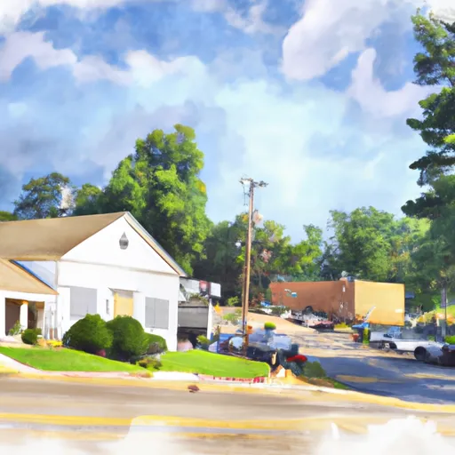
Buckner, Arkansas is a small town located in the southwestern part of the state. The area is characterized by a humid subtropical climate with hot summers and mild winters. The hydrology constituents in the area include the Little Missouri River, which offers fishing, kayaking, and canoeing opportunities for outdoor enthusiasts. The nearby Ouachita National Forest provides additional opportunities for hiking, hunting, and camping. The town is also home to Buckner Park, a popular spot for picnicking and family gatherings.
What is the Eden Index?
The Snoflo Eden Index serves as a comprehensive rating system for regions, evaluating their desirability through a holistic assessment of climate health, outdoor recreation opportunities, and natural disaster risk, acknowledging the profound impact of these factors on livability and well-being.
Climate Health Indicator (CHI): 9.3
Buckner receives approximately
1335mm of rain per year,
with humidity levels near 78%
and air temperatures averaging around
18°C.
Buckner has a plant hardyness factor of
8, meaning
plants and agriculture in this region tend to thrive here all year round.
By considering the ideal temperature range, reliable water supplies, clean air, and stable seasonal rain or snowpacks, the Climate Health Indicator (CHI) underscores the significance of a healthy climate as the foundation for quality living.
A healthy climate is paramount for ensuring a high quality of life and livability in a region, fostering both physical well-being and environmental harmony. This can be characterized by ideal temperatures, reliable access to water supplies, clean air, and consistent seasonal rain or snowpacks.
Weather Forecast
Streamflow Conditions
Red-Saline
Area Rivers
Red-Saline
Snowpack Depths
Red-Saline
Reservoir Storage Capacity
Red-Saline
Groundwater Levels
Recreational Opportunity Index (ROI): 1.8
The Recreational Opportunity Index (ROI) recognizes the value of outdoor recreational options, such as parks, hiking trails, camping sites, and fishing spots, while acknowledging that climate plays a pivotal role in ensuring the comfort and consistency of these experiences.
Access to outdoor recreational opportunities, encompassing activities such as parks, hiking, camping, and fishing, is crucial for overall well-being, and the climate plays a pivotal role in enabling and enhancing these experiences, ensuring that individuals can engage in nature-based activities comfortably and consistently.
Camping Areas
| Campground | Campsites | Reservations | Toilets | Showers | Elevation |
|---|---|---|---|---|---|
| Lake Bistineau State Park | None | 170 ft | |||
| Harmon Lake Dam - Barksdale AFB | 6 | 222 ft | |||
| Intracoastal Parish Park | 25 | 8 ft | |||
| Holbrook Parish Park | None | 20 ft | |||
| Pleasure Point State Rec Area - Toledo Bend Lake | None | 197 ft | |||
| South Toledo Bend State Park | None | 221 ft | |||
| Toledo Bend Military | None | 203 ft | |||
| Hodges Gardens State Park | 30 | 320 ft | |||
| Sam Houston Jones State Park | 40 | 18 ft | |||
| Barksdale AFB Military | None | 160 ft |
Nearby Ski Areas
Catastrophe Safeguard Index (CSI):
The Catastrophe Safeguard Index (CSI) recognizes that natural disaster risk, encompassing floods, fires, hurricanes, and tornadoes, can drastically affect safety and the overall appeal of an area.
The level of natural disaster risk in a region significantly affects safety and the overall livability, with climate change amplifying these risks by potentially increasing the frequency and intensity of events like floods, fires, hurricanes, and tornadoes, thereby posing substantial challenges to community resilience and well-being.
Community Resilience Indicator (CRI): 0.4
The Community Resilience Indicator (CRI) recognizes that education, healthcare, and socioeconomics are crucial to the well-being of a region. The CRI acknowledges the profound impact of these elements on residents' overall quality of life. By evaluating educational resources, healthcare accessibility, and economic inclusivity, the index captures the essential aspects that contribute to a thriving community, fostering resident satisfaction, equity, and social cohesion.