

-
 Snoflo Premium
Get unlimited access to all our content
With no Ad interruptions! - Start Your Free Trial Login with existing account
Crandall
Eden Index
Climate
7.7
•
Recreation
5.2
•
Community
•
Safeguard
4.9/10
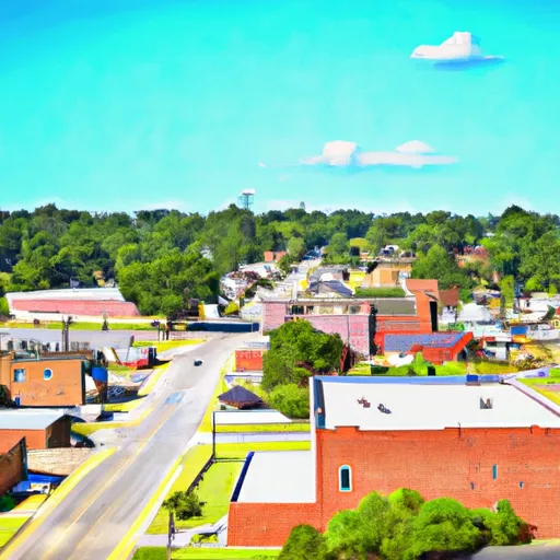
Crandall, Georgia is a small rural community located in Murray County, in the northwest part of the state. The climate in Crandall is warm and temperate, with hot summers and mild winters. The area is also prone to frequent rainfall and occasional flooding, due to its location near the Conasauga River. The hydrology constituents of the area include several creeks and streams that feed into the Conasauga River. Outdoor recreation opportunities in Crandall include hiking, fishing, and hunting in the nearby Chattahoochee National Forest. The area also has several parks and campgrounds, as well as opportunities for boating and water sports on the nearby Carters Lake.
What is the Eden Index?
The Snoflo Eden Index serves as a comprehensive rating system for regions, evaluating their desirability through a holistic assessment of climate health, outdoor recreation opportunities, and natural disaster risk, acknowledging the profound impact of these factors on livability and well-being.
Climate Health Indicator (CHI): 7.7
Crandall receives approximately
1387mm of rain per year,
with humidity levels near 87%
and air temperatures averaging around
15°C.
Crandall has a plant hardyness factor of
7, meaning
plants and agriculture in this region tend to thrive during the non-winter months.
By considering the ideal temperature range, reliable water supplies, clean air, and stable seasonal rain or snowpacks, the Climate Health Indicator (CHI) underscores the significance of a healthy climate as the foundation for quality living.
A healthy climate is paramount for ensuring a high quality of life and livability in a region, fostering both physical well-being and environmental harmony. This can be characterized by ideal temperatures, reliable access to water supplies, clean air, and consistent seasonal rain or snowpacks.
Weather Forecast
Streamflow Conditions
Coosa-Tallapoosa
Area Rivers
Coosa-Tallapoosa
Snowpack Depths
Coosa-Tallapoosa
Reservoir Storage Capacity
Coosa-Tallapoosa
Groundwater Levels
Recreational Opportunity Index (ROI): 5.2
The Recreational Opportunity Index (ROI) recognizes the value of outdoor recreational options, such as parks, hiking trails, camping sites, and fishing spots, while acknowledging that climate plays a pivotal role in ensuring the comfort and consistency of these experiences.
Access to outdoor recreational opportunities, encompassing activities such as parks, hiking, camping, and fishing, is crucial for overall well-being, and the climate plays a pivotal role in enabling and enhancing these experiences, ensuring that individuals can engage in nature-based activities comfortably and consistently.
Camping Areas
| Campground | Campsites | Reservations | Toilets | Showers | Elevation |
|---|---|---|---|---|---|
| McIntosh Reserve Park | None | 715 ft | |||
| F.D. Roosevelt State Park | None | 1,272 ft | |||
| McKinney - Allatoona Lake | None | 889 ft | |||
| Cochran Mill County Park | None | 937 ft | |||
| Old Hwy 41 - Allatoona Lake | None | 932 ft | |||
| Lake Allatoona Military - Fort McPherson | None | 891 ft | |||
| Clark Creek North - Allatoona Lake | None | 896 ft | |||
| Payne - Allatoona Lake | None | 848 ft | |||
| Chattahoochee Bend State Park | 50 | 928 ft | |||
| Clark Creek South - Allatoona Lake | None | 858 ft |
Nearby Ski Areas
Catastrophe Safeguard Index (CSI):
The Catastrophe Safeguard Index (CSI) recognizes that natural disaster risk, encompassing floods, fires, hurricanes, and tornadoes, can drastically affect safety and the overall appeal of an area.
The level of natural disaster risk in a region significantly affects safety and the overall livability, with climate change amplifying these risks by potentially increasing the frequency and intensity of events like floods, fires, hurricanes, and tornadoes, thereby posing substantial challenges to community resilience and well-being.
Community Resilience Indicator (CRI):
The Community Resilience Indicator (CRI) recognizes that education, healthcare, and socioeconomics are crucial to the well-being of a region. The CRI acknowledges the profound impact of these elements on residents' overall quality of life. By evaluating educational resources, healthcare accessibility, and economic inclusivity, the index captures the essential aspects that contribute to a thriving community, fostering resident satisfaction, equity, and social cohesion.