

-
 Snoflo Premium
Get unlimited access to all our content
With no Ad interruptions! - Start Your Free Trial Login with existing account
Morganton
Eden Index
Climate
7.3
•
Recreation
4.1
•
Community
0.7
•
Safeguard
4.5/10
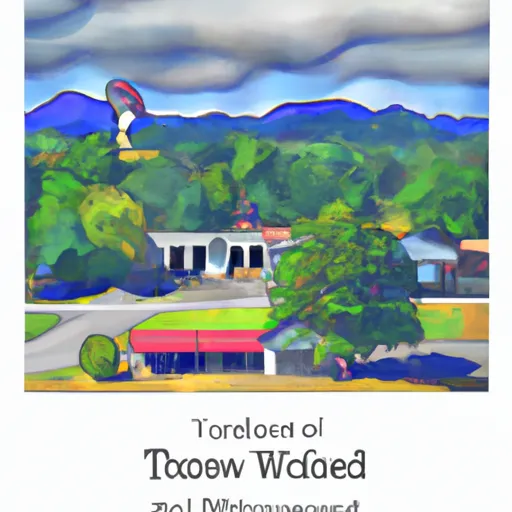
Morganton, Georgia is a small town located in Fannin County in the northwestern part of the state. Known for its picturesque landscapes and outdoor activities, Morganton offers a diverse climate and abundant natural resources.
The town experiences a humid subtropical climate, characterized by hot, humid summers and mild, wet winters. Summers are generally warm with temperatures often reaching the mid-80s to low-90s Fahrenheit (29-35 degrees Celsius), while winters are mild with average temperatures ranging from the mid-30s to mid-50s Fahrenheit (2-13 degrees Celsius). Precipitation is evenly distributed throughout the year, with slightly higher rainfall during the summer months.
Morganton is surrounded by beautiful bodies of water, including Lake Blue Ridge and the Toccoa River. These hydrological features provide numerous recreational opportunities such as fishing, boating, kayaking, and rafting. The area is also known for its scenic hiking trails, with popular spots like the Aska Trails and the Appalachian Trail offering breathtaking views of the surrounding Blue Ridge Mountains.
Overall, Morganton, Georgia offers a pleasant climate, abundant water resources, and a variety of outdoor activities, making it an attractive destination for nature lovers and outdoor enthusiasts.
What is the Eden Index?
The Snoflo Eden Index serves as a comprehensive rating system for regions, evaluating their desirability through a holistic assessment of climate health, outdoor recreation opportunities, and natural disaster risk, acknowledging the profound impact of these factors on livability and well-being.
Climate Health Indicator (CHI): 7.3
Morganton receives approximately
1538mm of rain per year,
with humidity levels near 82%
and air temperatures averaging around
14°C.
Morganton has a plant hardyness factor of
7, meaning
plants and agriculture in this region tend to thrive during the non-winter months.
By considering the ideal temperature range, reliable water supplies, clean air, and stable seasonal rain or snowpacks, the Climate Health Indicator (CHI) underscores the significance of a healthy climate as the foundation for quality living.
A healthy climate is paramount for ensuring a high quality of life and livability in a region, fostering both physical well-being and environmental harmony. This can be characterized by ideal temperatures, reliable access to water supplies, clean air, and consistent seasonal rain or snowpacks.
Weather Forecast
Streamflow Conditions
Middle Tennessee-Hiwassee
Area Rivers
Middle Tennessee-Hiwassee
Snowpack Depths
Middle Tennessee-Hiwassee
Reservoir Storage Capacity
Middle Tennessee-Hiwassee
Groundwater Levels
Recreational Opportunity Index (ROI): 4.1
The Recreational Opportunity Index (ROI) recognizes the value of outdoor recreational options, such as parks, hiking trails, camping sites, and fishing spots, while acknowledging that climate plays a pivotal role in ensuring the comfort and consistency of these experiences.
Access to outdoor recreational opportunities, encompassing activities such as parks, hiking, camping, and fishing, is crucial for overall well-being, and the climate plays a pivotal role in enabling and enhancing these experiences, ensuring that individuals can engage in nature-based activities comfortably and consistently.
Camping Areas
| Campground | Campsites | Reservations | Toilets | Showers | Elevation |
|---|---|---|---|---|---|
| Mulky | 11 | 2,172 ft | |||
| Sawnee | None | 1,070 ft | |||
| Amicalola Falls State Park | None | 1,779 ft | |||
| Charleston - Lake Lanier | None | 1,185 ft | |||
| High Falls State Park | None | 600 ft | |||
| Shoal Creek - Lake Lanier | None | 1,117 ft | |||
| Bald Ridge Creek | None | 1,097 ft | |||
| Shady Grove - Lake Lanier | None | 1,113 ft | |||
| Stone Mountain Park Campground | 430 | 1,558 ft | |||
| Frank Gross | 9 | 2,356 ft |
Nearby Ski Areas
Catastrophe Safeguard Index (CSI):
The Catastrophe Safeguard Index (CSI) recognizes that natural disaster risk, encompassing floods, fires, hurricanes, and tornadoes, can drastically affect safety and the overall appeal of an area.
The level of natural disaster risk in a region significantly affects safety and the overall livability, with climate change amplifying these risks by potentially increasing the frequency and intensity of events like floods, fires, hurricanes, and tornadoes, thereby posing substantial challenges to community resilience and well-being.
Community Resilience Indicator (CRI): 0.7
The Community Resilience Indicator (CRI) recognizes that education, healthcare, and socioeconomics are crucial to the well-being of a region. The CRI acknowledges the profound impact of these elements on residents' overall quality of life. By evaluating educational resources, healthcare accessibility, and economic inclusivity, the index captures the essential aspects that contribute to a thriving community, fostering resident satisfaction, equity, and social cohesion.