

-
 Snoflo Premium
Get unlimited access to all our content
With no Ad interruptions! - Start Your Free Trial Login with existing account
Willow-River
Eden Index
Climate
5.4
•
Recreation
3.9
•
Community
2.1
•
Safeguard
4.0/10
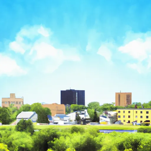
Willow-River, Minnesota is a charming small town located in the eastern part of the state. The climate in Willow-River is characterized by cold winters and warm summers, with an average annual temperature of 45°F. The town experiences moderate rainfall throughout the year, with slightly higher precipitation during the summer months. The nearby Willow River State Park and St. Croix State Forest offer spectacular outdoor opportunities for visitors. The Willow River, from which the town derives its name, flows through the area, providing excellent fishing and boating opportunities. The river is also a popular spot for kayaking and canoeing, offering a peaceful and scenic experience. Additionally, the state park offers hiking trails, camping facilities, and picnic areas for families and nature enthusiasts. With its pleasant climate, picturesque river, and abundant outdoor recreation, Willow-River, Minnesota is a fantastic destination for those seeking a relaxing and adventurous getaway in a beautiful natural setting.
What is the Eden Index?
The Snoflo Eden Index serves as a comprehensive rating system for regions, evaluating their desirability through a holistic assessment of climate health, outdoor recreation opportunities, and natural disaster risk, acknowledging the profound impact of these factors on livability and well-being.
Climate Health Indicator (CHI): 5.4
Willow-River receives approximately
765mm of rain per year,
with humidity levels near 82%
and air temperatures averaging around
5°C.
Willow-River has a plant hardyness factor of
3, meaning
plants and agriculture in this region thrive during a short period during spring and early summer. Most
plants will die off during the colder winter months.
By considering the ideal temperature range, reliable water supplies, clean air, and stable seasonal rain or snowpacks, the Climate Health Indicator (CHI) underscores the significance of a healthy climate as the foundation for quality living.
A healthy climate is paramount for ensuring a high quality of life and livability in a region, fostering both physical well-being and environmental harmony. This can be characterized by ideal temperatures, reliable access to water supplies, clean air, and consistent seasonal rain or snowpacks.
Weather Forecast
Streamflow Conditions
St. Croix
Area Rivers
St. Croix
Snowpack Depths
St. Croix
Reservoir Storage Capacity
St. Croix
Groundwater Levels
Recreational Opportunity Index (ROI): 3.9
The Recreational Opportunity Index (ROI) recognizes the value of outdoor recreational options, such as parks, hiking trails, camping sites, and fishing spots, while acknowledging that climate plays a pivotal role in ensuring the comfort and consistency of these experiences.
Access to outdoor recreational opportunities, encompassing activities such as parks, hiking, camping, and fishing, is crucial for overall well-being, and the climate plays a pivotal role in enabling and enhancing these experiences, ensuring that individuals can engage in nature-based activities comfortably and consistently.
Camping Areas
| Campground | Campsites | Reservations | Toilets | Showers | Elevation |
|---|---|---|---|---|---|
| Moose Lake City Park | 82 | 1,053 ft | |||
| Willow River - Gen Andrews State Forest | 38 | 1,048 ft | |||
| Aaron Provincial Park | 98 | 1,246 ft | |||
| Stubler Beach | 8 | 1,511 ft | |||
| Barnum City Park | 12 | 1,089 ft | |||
| McCarthy Beach State Park | 90 | 1,393 ft | |||
| Banning State Park | 35 | 1,118 ft | |||
| Woodenfrog - Kabetogama State Forest | 60 | 1,126 ft | |||
| Moose Lake State Park | 35 | 1,115 ft | |||
| Buhl RV Park | 10 | 1,521 ft |
Nearby Fishing
Nearby Ski Areas
Catastrophe Safeguard Index (CSI):
The Catastrophe Safeguard Index (CSI) recognizes that natural disaster risk, encompassing floods, fires, hurricanes, and tornadoes, can drastically affect safety and the overall appeal of an area.
The level of natural disaster risk in a region significantly affects safety and the overall livability, with climate change amplifying these risks by potentially increasing the frequency and intensity of events like floods, fires, hurricanes, and tornadoes, thereby posing substantial challenges to community resilience and well-being.
Community Resilience Indicator (CRI): 2.1
The Community Resilience Indicator (CRI) recognizes that education, healthcare, and socioeconomics are crucial to the well-being of a region. The CRI acknowledges the profound impact of these elements on residents' overall quality of life. By evaluating educational resources, healthcare accessibility, and economic inclusivity, the index captures the essential aspects that contribute to a thriving community, fostering resident satisfaction, equity, and social cohesion.