Lake Hemet reservoir

Lake Hemet
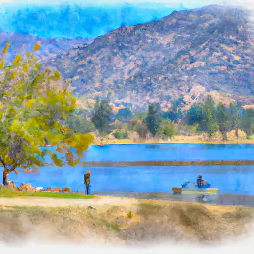
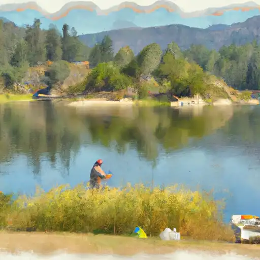
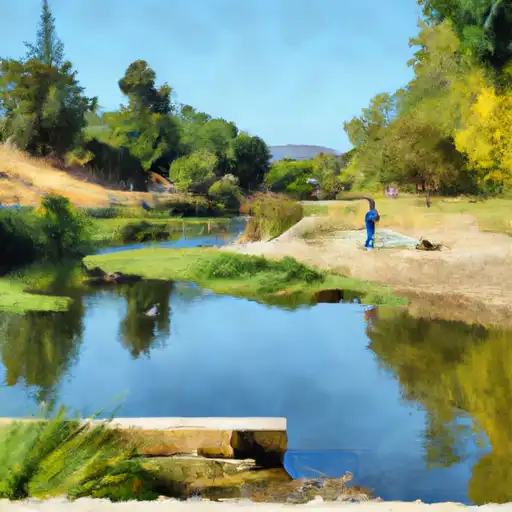
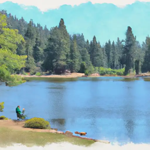
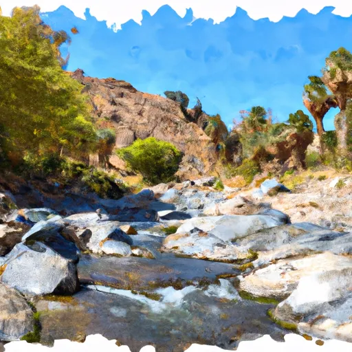
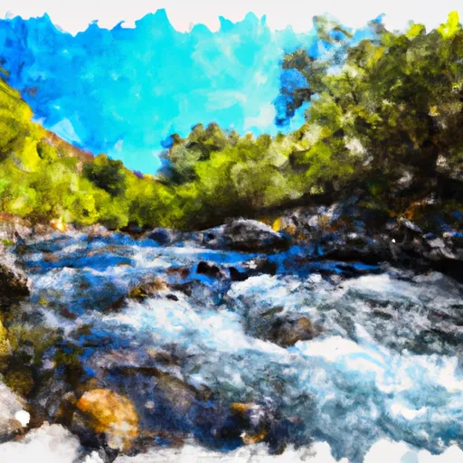
Lake Hemet is a man-made reservoir located in the San Jacinto Mountains of southern California. It was created in 1895 to provide water for the surrounding area's agricultural needs. The lake is fed by the San Jacinto River and the snowpack from the nearby mountains. It has a capacity of 14,000 acre-feet and serves as a vital source of water for the Hemet Valley Municipal Water District. The lake is also a popular recreational destination, offering fishing, boating, camping, and hiking opportunities. In recent years, the lake has faced challenges with low water levels due to drought conditions. Nonetheless, it remains an important resource for the region.
Plan around the weather
Same NOAA / yr.no feed Snoflo's iOS app uses. Watch the precipitation column on the meteogram -- rain on the basin upstream typically lifts inflow 24-72 hours later.
Next 5 days, hour by hour
Temperature line with weather symbols on top, snow + rain accumulation as columns, humidity as a dotted line.
5-day forecast table
Every 3 hours, broken out across temperature, snow, rain, humidity, and wind. Each cell is colour-coded relative to the column min/max.
| Time | Condition | Temp (°F) | Snow (in) | Rain (in) | Humidity (%) | Wind (mps) | Wind dir |
|---|---|---|---|---|---|---|---|
| Loading detailed forecast… | |||||||
15-day temperature & precipitation
Daily temperatures, snow, and rain projected over the next two weeks.
Nearby streamflow gauges
USGS streamgauges around Lake Hemet -- inflows here typically show up in storage 24-72 hours later.
| Streamgauge | Discharge | View |
|---|---|---|
| San Jacinto R Nr San Jacinto | 0 cfs | → |
| Murray Cyn C Nr Palm Springs Ca | · | → |
| Andreas C Nr Palm Springs Ca | 1 cfs | → |
| Palm Cyn C Nr Palm Springs Ca | · | → |
| Tahquitz C Nr Palm Springs Ca | 0 cfs | → |
| Chino Cyn C Bl Tramway Nr Palm Springs Ca | · | → |


About Lake Hemet
Where does the data for Lake Hemet come from?
Daily storage, pool elevation, and release rates are sourced from USGS, USBR, and USACE monitoring stations. Weather forecast comes from NOAA / yr.no -- the same feed Snoflo's iOS app uses.
How often is the report updated?
Storage observations are updated daily by the operating agency. The 15-day weather forecast refreshes throughout the day. Snoflo caches and renders the most recent observation -- check the "as of" timestamp on the storage card.
What does the Hazard hazard rating mean?
The Corps of Engineers' hazard potential classification grades probable consequences if the dam fails: High = probable loss of human life; Significant = no probable loss of human life but possible economic loss / environmental damage; Low = no probable loss of human life, only minor economic / environmental losses. See the Dam Data Reference card below for the full definitions.
What's "% of normal"?
The current storage value compared to the historical average storage on this calendar day. 100% = right on average; values above 100% mean above-normal storage (wet year); values below mean below-normal (dry year or drought).
Can I get alerts when storage crosses a threshold?
Yes -- alerts are managed in the Snoflo iOS app. Favorite this reservoir, set a threshold, and you'll get a push the moment conditions cross.