


Lake Vera Reservoir Report
Last Updated: May 11, 2026
°F
°F
mph
Wind
%
Humidity
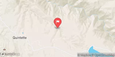
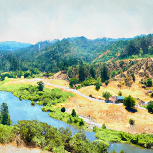
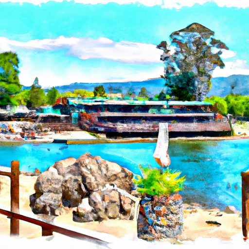
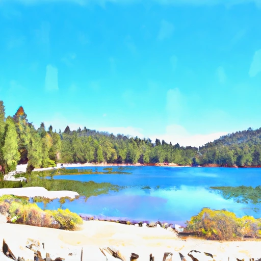
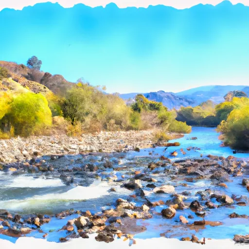
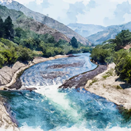
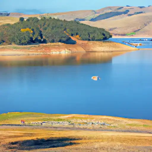
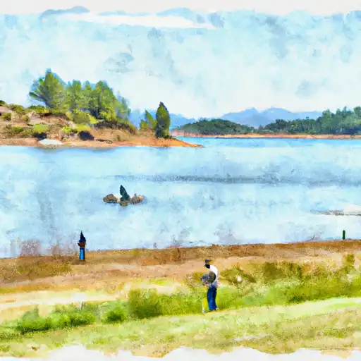
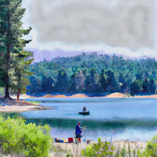
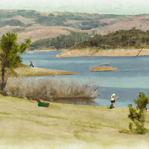
Lake Vera, located in Bridgeport, California, is a private water supply reservoir that was completed in 1926.
Summary
It has a dam height of 16 feet and a maximum storage capacity of 136 acre-feet. The primary purpose of Lake Vera is to provide water supply, but it also serves for recreational activities. The dam type is concrete, specifically a buttress and concrete combination, with a hydraulic height of 11.2 feet.
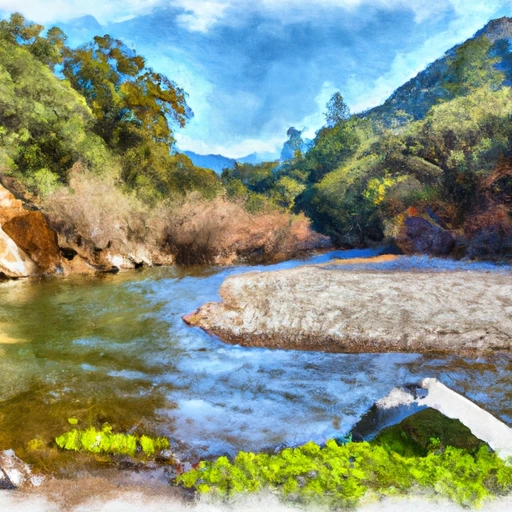
Managed by the California state agency DWR, Safety of Dams, Lake Vera is regulated, permitted, inspected, and enforced to ensure its safety and functionality. Despite its low hazard potential, the dam is assessed as satisfactory and has a regular inspection frequency. The reservoir sits on Rock Creek and has a surface area of 20 acres within a drainage area of 11.7 square miles, making it a significant water resource in the Nevada County area.
For water resource and climate enthusiasts, Lake Vera is a fascinating example of early 20th-century water infrastructure that continues to play a vital role in today's water supply and recreational needs. With its historical significance, regulatory oversight, and functional design, Lake Vera stands as a testament to the importance of sustainable water management practices in California's diverse landscape.
Regional Streamflow Levels
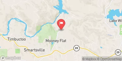 Deer C Nr Smartville Ca
|
67cfs |
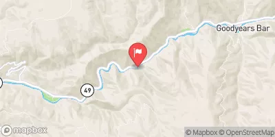 N Yuba R Bl Goodyears Bar Ca
|
728cfs |
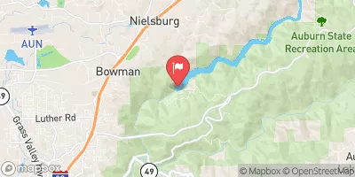 Nf American R A North Fork Dam Ca
|
867cfs |
 Yuba R Nr Marysville Ca
|
2360cfs |
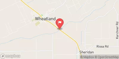 Bear R Nr Wheatland Ca
|
250cfs |
 Pilot C Bl Mutton Canyon Nr Georgetown Ca
|
2cfs |
15-Day Long Term Forecast
Year Completed |
1926 |
Dam Length |
275 |
Dam Height |
16 |
River Or Stream |
Rock Creek |
Primary Dam Type |
Concrete |
Surface Area |
20 |
Hydraulic Height |
11.2 |
Drainage Area |
11.7 |
Nid Storage |
136 |
Hazard Potential |
Low |
Nid Height |
16 |
Seasonal Comparison
5-Day Hourly Forecast Detail
Dam Data Reference
Condition Assessment
SatisfactoryNo existing or potential dam safety deficiencies are recognized. Acceptable performance is expected under all loading conditions (static, hydrologic, seismic) in accordance with the minimum applicable state or federal regulatory criteria or tolerable risk guidelines.
Fair
No existing dam safety deficiencies are recognized for normal operating conditions. Rare or extreme hydrologic and/or seismic events may result in a dam safety deficiency. Risk may be in the range to take further action. Note: Rare or extreme event is defined by the regulatory agency based on their minimum
Poor A dam safety deficiency is recognized for normal operating conditions which may realistically occur. Remedial action is necessary. POOR may also be used when uncertainties exist as to critical analysis parameters which identify a potential dam safety deficiency. Investigations and studies are necessary.
Unsatisfactory
A dam safety deficiency is recognized that requires immediate or emergency remedial action for problem resolution.
Not Rated
The dam has not been inspected, is not under state or federal jurisdiction, or has been inspected but, for whatever reason, has not been rated.
Not Available
Dams for which the condition assessment is restricted to approved government users.
Hazard Potential Classification
HighDams assigned the high hazard potential classification are those where failure or mis-operation will probably cause loss of human life.
Significant
Dams assigned the significant hazard potential classification are those dams where failure or mis-operation results in no probable loss of human life but can cause economic loss, environment damage, disruption of lifeline facilities, or impact other concerns. Significant hazard potential classification dams are often located in predominantly rural or agricultural areas but could be in areas with population and significant infrastructure.
Low
Dams assigned the low hazard potential classification are those where failure or mis-operation results in no probable loss of human life and low economic and/or environmental losses. Losses are principally limited to the owner's property.
Undetermined
Dams for which a downstream hazard potential has not been designated or is not provided.
Not Available
Dams for which the downstream hazard potential is restricted to approved government users.
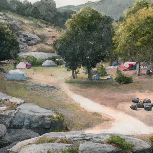
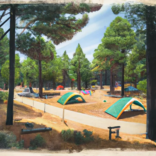
Area Campgrounds
| Location | Reservations | Toilets |
|---|---|---|
 South Yuba
|
||
 Rock Creek Mill Site
|
||
 South Yuba Primitive Camp
|
||
 Environmental Camp
|
||
 Nevada County Fairgrounds
|
||
 Malakoff Diggins State Park
|
 Scotts Flat
 New Bullards Bar
 Rollins
 Englebright (Usace)
 Sly Creek
 Spaulding Lake
 Yuba County
River Runs
-
 Confluence With Jefferson Creek To Confluence With Kentucky Creek
-
 One-Half Mile West Of Confluence With Fall Creek To Confluence With Jefferson Creek
-
 Headwaters Of North Yuba River (Sec 10, T20N, R13 E) To One-Eighth Mile Downstream Of Confluence With Cherokee Creek
-
 Chamberlain Falls (Iowa Hill to Yankee Jim)
-
 One-Eighth Mile Downstream From Confluence With Cherokee Creek To One-Quarter Mile Upstream From Confluence With Slate Creek
-
 One-Quarter Mile Upstream From Confluence With Slate Creek To Bullards Bar Reservoir Spillway (Elevation 1902 Feet)
 Bullards Bar Reservoir
 Lake Rollins
 Englebright Lake
 Merle Collins Reservoir
 Lake of the Pines