Lehi City Sandpit Reservoir Dam

Lehi City Sandpit Reservoir
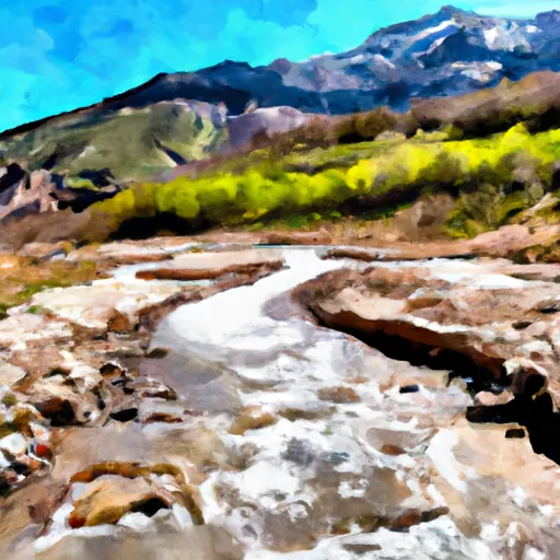
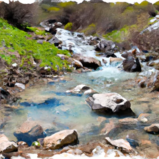
Lehi City Sandpit Reservoir, located in Utah's Utah County, serves as a crucial water supply source for the city of Lehi. Completed in 2014, this earth dam structure stands at a hydraulic height of 17 feet and a structural height of 21 feet, with a storage capacity of 50 acre-feet. The reservoir's primary purpose is to provide a reliable water source for the local community, with state regulation and inspection ensuring its operational efficiency and safety.
Managed by the Utah Division of Water Rights, Lehi City Sandpit Reservoir has a high hazard potential but is currently assessed as satisfactory in condition. The dam has a spillway width of 6 feet and a maximum discharge capacity of 90 cubic feet per second. Regular inspections are conducted to maintain its structural integrity and ensure compliance with regulatory standards. In case of emergencies, the reservoir's emergency action plan is in place to guide appropriate responses and safeguard against potential risks.
With its strategic location in Lehi and significant contribution to the city's water supply, Lehi City Sandpit Reservoir stands as a critical infrastructure asset in the region. Climate and water resource enthusiasts can appreciate the reservoir's role in supporting a sustainable water management system and its adherence to state regulatory requirements for safe and efficient operation.
Plan around the weather
Same NOAA / yr.no feed Snoflo's iOS app uses. Watch the precipitation column on the meteogram -- rain on the basin upstream typically lifts inflow 24-72 hours later.
Next 5 days, hour by hour
Temperature line with weather symbols on top, snow + rain accumulation as columns, humidity as a dotted line.
5-day forecast table
Every 3 hours, broken out across temperature, snow, rain, humidity, and wind. Each cell is colour-coded relative to the column min/max.
| Time | Condition | Temp (°F) | Snow (in) | Rain (in) | Humidity (%) | Wind (mps) | Wind dir |
|---|---|---|---|---|---|---|---|
| Loading detailed forecast… | |||||||
15-day temperature & precipitation
Daily temperatures, snow, and rain projected over the next two weeks.
Nearby streamflow gauges
USGS streamgauges around Lehi City Sandpit Reservoir -- inflows here typically show up in storage 24-72 hours later.
| Streamgauge | Discharge | View |
|---|---|---|
| American Fk Ab Upper Powerplant Nr American Fk | 19 cfs | → |
| West Canyon Creek Near Cedar Fort | 1 cfs | → |
| Provo River At Provo | 39 cfs | → |
| Little Cottonwood Creek @ Jordan River Nr Slc | 4 cfs | → |
| Daniels Creek At Charleston | · | → |
| Hobble Creek At 1650 West At Springville | 16 cfs | → |
Make a day of it
Boat launches, lakeside camping, fishing access, and other reservoirs near Lehi City Sandpit Reservoir.
Boat launches
See all →


Campgrounds
See all →


Fishing spots
See all →


River runs
See all →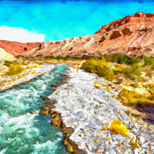


About Lehi City Sandpit Reservoir
Where does the data for Lehi City Sandpit Reservoir come from?
Structural and regulatory data come from the U.S. Army Corps of Engineers' National Inventory of Dams (NID). Weather forecast comes from NOAA / yr.no -- the same feed Snoflo's iOS app uses.
How often is the report updated?
NID structural data refreshes annually as the Corps publishes updated assessments. The weather forecast refreshes throughout the day.
What does the High hazard rating mean?
The Corps of Engineers' hazard potential classification grades probable consequences if the dam fails: High = probable loss of human life; Significant = no probable loss of human life but possible economic loss / environmental damage; Low = no probable loss of human life, only minor economic / environmental losses. See the Dam Data Reference card below for the full definitions.
What's "% of normal"?
The current storage value compared to the historical average storage on this calendar day. 100% = right on average; values above 100% mean above-normal storage (wet year); values below mean below-normal (dry year or drought).
Can I get alerts when storage crosses a threshold?
Yes -- alerts are managed in the Snoflo iOS app. Favorite this dam, set a threshold, and you'll get a push the moment conditions cross.
Dam data reference
Condition Assessment
- Satisfactory
- No existing or potential dam safety deficiencies are recognized. Acceptable performance is expected under all loading conditions (static, hydrologic, seismic) in accordance with the minimum applicable state or federal regulatory criteria or tolerable risk guidelines.
- Fair
- No existing dam safety deficiencies are recognized for normal operating conditions. Rare or extreme hydrologic and/or seismic events may result in a dam safety deficiency. Risk may be in the range to take further action.
- Poor
- A dam safety deficiency is recognized for normal operating conditions which may realistically occur. Remedial action is necessary. POOR may also be used when uncertainties exist as to critical analysis parameters which identify a potential dam safety deficiency.
- Unsatisfactory
- A dam safety deficiency is recognized that requires immediate or emergency remedial action for problem resolution.
- Not Rated
- The dam has not been inspected, is not under state or federal jurisdiction, or has been inspected but, for whatever reason, has not been rated.
Hazard Potential Classification
- High
- Dams assigned the high hazard potential classification are those where failure or mis-operation will probably cause loss of human life.
- Significant
- Dams assigned the significant hazard potential classification are those dams where failure or mis-operation results in no probable loss of human life but can cause economic loss, environmental damage, disruption of lifeline facilities, or impact other concerns. Significant hazard potential classification dams are often located in predominantly rural or agricultural areas but could be in areas with population and significant infrastructure.
- Low
- Dams assigned the low hazard potential classification are those where failure or mis-operation results in no probable loss of human life and low economic and/or environmental losses. Losses are principally limited to the owner's property.
- Undetermined
- Dams for which a downstream hazard potential has not been designated or is not provided.