

-
 Snoflo Premium
Get unlimited access to all our content
With no Ad interruptions! - Start Your Free Trial Login with existing account
Story
Eden Index
Climate
7.8
•
Recreation
9.6
•
Community
•
Safeguard
6.5/10
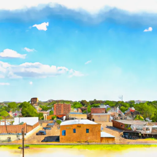
Story, Arkansas is a charming community located in Montgomery County. Its climate can be described as temperate, with hot summers and mild winters. The area experiences average temperatures ranging from the mid-80s °F (around 29°C) during summer, to lows in the mid-30s °F (around 2°C) in winter. Spring and fall offer pleasant weather, making it an ideal time to explore the outdoors.
Story is surrounded by the beautiful Ouachita National Forest and boasts a picturesque landscape with numerous lakes, streams, and rivers. The hydrology constituents include the Caddo River and Lake Ouachita, both popular for fishing, boating, and kayaking. The Caddo River offers thrilling whitewater rafting opportunities, attracting adventurers from far and wide.
Outdoor enthusiasts will find an array of recreational activities in Story. Hiking and biking trails traverse the lush forests, allowing visitors to immerse themselves in nature's beauty. The Ouachita National Recreation Trail, spanning over 200 miles, provides excellent opportunities for backpacking and camping. For those seeking a more leisurely outdoor experience, picnicking, birdwatching, and wildlife viewing are also popular activities.
In conclusion, Story, Arkansas, with its mild climate, abundant hydrology constituents, and diverse outdoor recreation opportunities, is a hidden gem for nature lovers and adventure seekers alike.
What is the Eden Index?
The Snoflo Eden Index serves as a comprehensive rating system for regions, evaluating their desirability through a holistic assessment of climate health, outdoor recreation opportunities, and natural disaster risk, acknowledging the profound impact of these factors on livability and well-being.
Climate Health Indicator (CHI): 7.8
Story receives approximately
1315mm of rain per year,
with humidity levels near 84%
and air temperatures averaging around
16°C.
Story has a plant hardyness factor of
7, meaning
plants and agriculture in this region tend to thrive during the non-winter months.
By considering the ideal temperature range, reliable water supplies, clean air, and stable seasonal rain or snowpacks, the Climate Health Indicator (CHI) underscores the significance of a healthy climate as the foundation for quality living.
A healthy climate is paramount for ensuring a high quality of life and livability in a region, fostering both physical well-being and environmental harmony. This can be characterized by ideal temperatures, reliable access to water supplies, clean air, and consistent seasonal rain or snowpacks.
Weather Forecast
Streamflow Conditions
Upper Ouachita
Area Rivers
Upper Ouachita
Snowpack Depths
Upper Ouachita
Reservoir Storage Capacity
Upper Ouachita
Groundwater Levels
Recreational Opportunity Index (ROI): 9.6
The Recreational Opportunity Index (ROI) recognizes the value of outdoor recreational options, such as parks, hiking trails, camping sites, and fishing spots, while acknowledging that climate plays a pivotal role in ensuring the comfort and consistency of these experiences.
Access to outdoor recreational opportunities, encompassing activities such as parks, hiking, camping, and fishing, is crucial for overall well-being, and the climate plays a pivotal role in enabling and enhancing these experiences, ensuring that individuals can engage in nature-based activities comfortably and consistently.
Camping Areas
| Campground | Campsites | Reservations | Toilets | Showers | Elevation |
|---|---|---|---|---|---|
| San Miguel Park State Rec Area | None | 228 ft | |||
| Cypress Bend State Rec Area | None | 216 ft | |||
| Pleasure Point State Rec Area - Toledo Bend Lake | None | 197 ft | |||
| Barksdale AFB Military | None | 160 ft | |||
| Hodges Gardens State Park | 30 | 320 ft | |||
| South Toledo Bend State Park | None | 221 ft | |||
| Lake Bistineau State Park | None | 170 ft | |||
| Toledo Bend Military | None | 203 ft | |||
| Harmon Lake Dam - Barksdale AFB | 6 | 222 ft | |||
| Indian Mounds | 37 | 190 ft |
Nearby Ski Areas
Catastrophe Safeguard Index (CSI):
The Catastrophe Safeguard Index (CSI) recognizes that natural disaster risk, encompassing floods, fires, hurricanes, and tornadoes, can drastically affect safety and the overall appeal of an area.
The level of natural disaster risk in a region significantly affects safety and the overall livability, with climate change amplifying these risks by potentially increasing the frequency and intensity of events like floods, fires, hurricanes, and tornadoes, thereby posing substantial challenges to community resilience and well-being.
Community Resilience Indicator (CRI):
The Community Resilience Indicator (CRI) recognizes that education, healthcare, and socioeconomics are crucial to the well-being of a region. The CRI acknowledges the profound impact of these elements on residents' overall quality of life. By evaluating educational resources, healthcare accessibility, and economic inclusivity, the index captures the essential aspects that contribute to a thriving community, fostering resident satisfaction, equity, and social cohesion.