Swan Dam

Swan
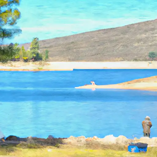
Swan is a privately owned earth dam located in California, specifically in Nevada County near Beale Air Force Base. Built in 1967, Swan serves primarily as a water supply source, with a storage capacity of 550 acre-feet. The dam stands at 59 feet tall with a hydraulic height of 44 feet, holding back the waters of Dry Creek and covering a surface area of 34 acres.
Despite its satisfactory condition assessment as of September 2017, Swan has been classified as having a high hazard potential, signaling the importance of regular inspections and maintenance. The dam has a history of state regulation and oversight by the Department of Water Resources, Safety of Dams division, ensuring that it meets safety standards and requirements. It is crucial for water resource and climate enthusiasts to stay informed about Swan's status and any potential risks associated with its operation.
As a key component in the local water supply infrastructure, Swan plays a vital role in supporting both recreational activities and essential water needs in the region. With its location in a high-risk area, it is imperative that stakeholders continue to monitor and manage the dam effectively to prevent any potential hazards or emergencies. Stay tuned for updates on Swan's condition and any risk management measures that may be implemented in the future.
Plan around the weather
Same NOAA / yr.no feed Snoflo's iOS app uses. Watch the precipitation column on the meteogram -- rain on the basin upstream typically lifts inflow 24-72 hours later.
Next 5 days, hour by hour
Temperature line with weather symbols on top, snow + rain accumulation as columns, humidity as a dotted line.
5-day forecast table
Every 3 hours, broken out across temperature, snow, rain, humidity, and wind. Each cell is colour-coded relative to the column min/max.
| Time | Condition | Temp (°F) | Snow (in) | Rain (in) | Humidity (%) | Wind (mps) | Wind dir |
|---|---|---|---|---|---|---|---|
| Loading detailed forecast… | |||||||
15-day temperature & precipitation
Daily temperatures, snow, and rain projected over the next two weeks.
Nearby streamflow gauges
USGS streamgauges around Swan -- inflows here typically show up in storage 24-72 hours later.
| Streamgauge | Discharge | View |
|---|---|---|
| Deer C Nr Smartville Ca | 9 cfs | → |
| Nf American R A North Fork Dam Ca | 63 cfs | → |
| Bear R Nr Wheatland Ca | 27 cfs | → |
| Yuba R Nr Marysville Ca | 539 cfs | → |
| N Yuba R Bl Goodyears Bar Ca | 137 cfs | → |
| Dry C A Vernon St Bridge A Roseville Ca | 159 cfs | → |
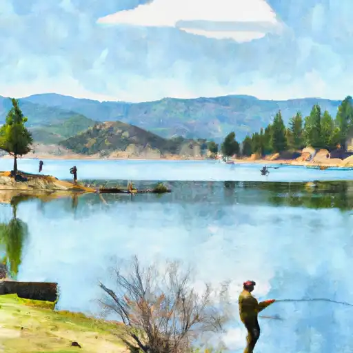
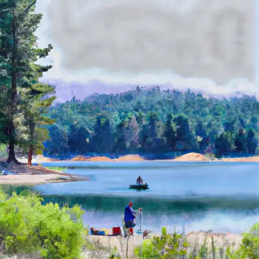
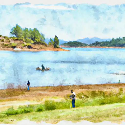
Make a day of it
Boat launches, lakeside camping, fishing access, and other reservoirs near Swan.
Boat launches
See all →


Campgrounds
See all →


Fishing spots
See all →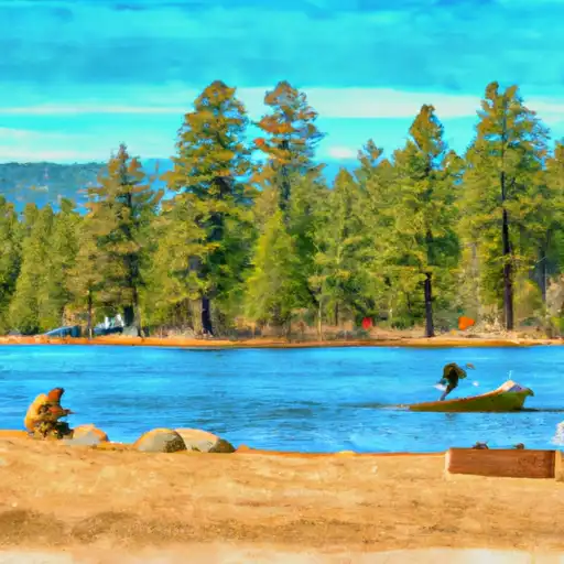

River runs
See all →


About Swan
Where does the data for Swan come from?
Structural and regulatory data come from the U.S. Army Corps of Engineers' National Inventory of Dams (NID). Weather forecast comes from NOAA / yr.no -- the same feed Snoflo's iOS app uses.
How often is the report updated?
NID structural data refreshes annually as the Corps publishes updated assessments. The weather forecast refreshes throughout the day.
What does the High hazard rating mean?
The Corps of Engineers' hazard potential classification grades probable consequences if the dam fails: High = probable loss of human life; Significant = no probable loss of human life but possible economic loss / environmental damage; Low = no probable loss of human life, only minor economic / environmental losses. See the Dam Data Reference card below for the full definitions.
What's "% of normal"?
The current storage value compared to the historical average storage on this calendar day. 100% = right on average; values above 100% mean above-normal storage (wet year); values below mean below-normal (dry year or drought).
Can I get alerts when storage crosses a threshold?
Yes -- alerts are managed in the Snoflo iOS app. Favorite this dam, set a threshold, and you'll get a push the moment conditions cross.
Dam data reference
Condition Assessment
- Satisfactory
- No existing or potential dam safety deficiencies are recognized. Acceptable performance is expected under all loading conditions (static, hydrologic, seismic) in accordance with the minimum applicable state or federal regulatory criteria or tolerable risk guidelines.
- Fair
- No existing dam safety deficiencies are recognized for normal operating conditions. Rare or extreme hydrologic and/or seismic events may result in a dam safety deficiency. Risk may be in the range to take further action.
- Poor
- A dam safety deficiency is recognized for normal operating conditions which may realistically occur. Remedial action is necessary. POOR may also be used when uncertainties exist as to critical analysis parameters which identify a potential dam safety deficiency.
- Unsatisfactory
- A dam safety deficiency is recognized that requires immediate or emergency remedial action for problem resolution.
- Not Rated
- The dam has not been inspected, is not under state or federal jurisdiction, or has been inspected but, for whatever reason, has not been rated.
Hazard Potential Classification
- High
- Dams assigned the high hazard potential classification are those where failure or mis-operation will probably cause loss of human life.
- Significant
- Dams assigned the significant hazard potential classification are those dams where failure or mis-operation results in no probable loss of human life but can cause economic loss, environmental damage, disruption of lifeline facilities, or impact other concerns. Significant hazard potential classification dams are often located in predominantly rural or agricultural areas but could be in areas with population and significant infrastructure.
- Low
- Dams assigned the low hazard potential classification are those where failure or mis-operation results in no probable loss of human life and low economic and/or environmental losses. Losses are principally limited to the owner's property.
- Undetermined
- Dams for which a downstream hazard potential has not been designated or is not provided.