
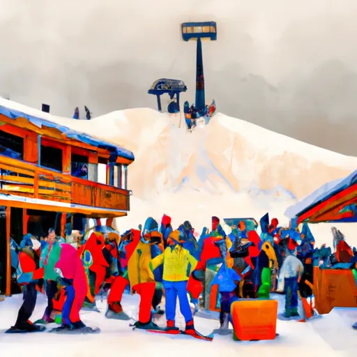
MINNESOTA SNOW REPORT
Last Updated: April 21, 2026
Minnesota Ski Area Forecast
Next 15 Days
-
 Afton Alps Ski Area
-
 Andes Tower Hills
-
 Bestruns
-
 Buck Hill Ski Area
-
 Buena Vista Ski Area
-
 Chester Bowl Park
-
 Coffee Mill
-
 Giants Ridge Resort
-
 Hyland Ski And Snowboard Area
-
 Lookout Mountain
-
 Lutsen Mountains
-
 Mount Kato Ski Area
-
 Powder Ridge Ski Area
-
 Ski Gull
-
 Ski-Tonka
-
 Spirit Mountain
-
 Steeplechase Ski & Snowboard
-
 Val Chatel
-
 Welch Village Ski Area
-
 Wild Mountain Ski Area
Minnesota Snow Report FAQs
How often is this report updated?
Daily from SNOTEL and NOAA sources.
What are snowpack levels in Minnesota like right now?
Snowpack levels across Minnesota are approximately 45.0% of normal compared to previous years.
Where is it coldest in Minnesota right now?
Gunflint Lake is experiencing frigid temperatures of 33°.
Where is the most snow in Minnesota today?
Currently at Two Harbors with 15".