

-
 Snoflo Premium
Get unlimited access to all our content
With no Ad interruptions! - Start Your Free Trial Login with existing account
Garfield
Eden Index
Climate
8.2
•
Recreation
8.2
•
Community
1.4
•
Safeguard
6.5/10
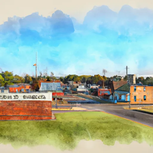
Garfield, Arkansas is a small town located in Benton County. The climate in Garfield is typical of the Ozark region, with hot summers and mild winters. The town is surrounded by natural beauty, including Beaver Lake, which provides hydrology constituents such as water for drinking, irrigation and recreation. The lake offers opportunities for boating, fishing, and water sports. Additionally, the nearby Ozark National Forest provides ample opportunities for hiking, camping, and hunting. Garfield is also home to the Lost Bridge North and South Campgrounds, which provide access to the lake and offer camping and picnic facilities. Overall, Garfield is a great destination for those looking for outdoor recreation opportunities in a scenic setting.
What is the Eden Index?
The Snoflo Eden Index serves as a comprehensive rating system for regions, evaluating their desirability through a holistic assessment of climate health, outdoor recreation opportunities, and natural disaster risk, acknowledging the profound impact of these factors on livability and well-being.
Climate Health Indicator (CHI): 8.2
Garfield receives approximately
1172mm of rain per year,
with humidity levels near 81%
and air temperatures averaging around
14°C.
Garfield has a plant hardyness factor of
6, meaning
plants and agriculture in this region thrive during a short period during spring and early summer. Most
plants will die off during the colder winter months.
By considering the ideal temperature range, reliable water supplies, clean air, and stable seasonal rain or snowpacks, the Climate Health Indicator (CHI) underscores the significance of a healthy climate as the foundation for quality living.
A healthy climate is paramount for ensuring a high quality of life and livability in a region, fostering both physical well-being and environmental harmony. This can be characterized by ideal temperatures, reliable access to water supplies, clean air, and consistent seasonal rain or snowpacks.
Weather Forecast
Streamflow Conditions
Neosho
Area Rivers
Neosho
Snowpack Depths
Neosho
Reservoir Storage Capacity
Neosho
Groundwater Levels
Recreational Opportunity Index (ROI): 8.2
The Recreational Opportunity Index (ROI) recognizes the value of outdoor recreational options, such as parks, hiking trails, camping sites, and fishing spots, while acknowledging that climate plays a pivotal role in ensuring the comfort and consistency of these experiences.
Access to outdoor recreational opportunities, encompassing activities such as parks, hiking, camping, and fishing, is crucial for overall well-being, and the climate plays a pivotal role in enabling and enhancing these experiences, ensuring that individuals can engage in nature-based activities comfortably and consistently.
Camping Areas
| Campground | Campsites | Reservations | Toilets | Showers | Elevation |
|---|---|---|---|---|---|
| Allens Ferry at Little River | None | 261 ft | |||
| River Run East - Millwood Lake | 8 | 264 ft | |||
| Four States Fairgrounds RV | None | 340 ft | |||
| Beards Lake - Millwood Lake | 5 | 263 ft | |||
| Millwood State Park | None | 313 ft | |||
| River Run West - Millwood Lake | 4 | 269 ft | |||
| Intake Hill Park- Wright Patman Lake | None | 251 ft | |||
| Piney Point - Wright Patman Lake | 70 | 298 ft | |||
| Beards Bluff - Millwood Lake | 28 | 366 ft | |||
| Hervey Access Camping | None | 247 ft |
Nearby Ski Areas
Catastrophe Safeguard Index (CSI):
The Catastrophe Safeguard Index (CSI) recognizes that natural disaster risk, encompassing floods, fires, hurricanes, and tornadoes, can drastically affect safety and the overall appeal of an area.
The level of natural disaster risk in a region significantly affects safety and the overall livability, with climate change amplifying these risks by potentially increasing the frequency and intensity of events like floods, fires, hurricanes, and tornadoes, thereby posing substantial challenges to community resilience and well-being.
Community Resilience Indicator (CRI): 1.4
The Community Resilience Indicator (CRI) recognizes that education, healthcare, and socioeconomics are crucial to the well-being of a region. The CRI acknowledges the profound impact of these elements on residents' overall quality of life. By evaluating educational resources, healthcare accessibility, and economic inclusivity, the index captures the essential aspects that contribute to a thriving community, fostering resident satisfaction, equity, and social cohesion.