

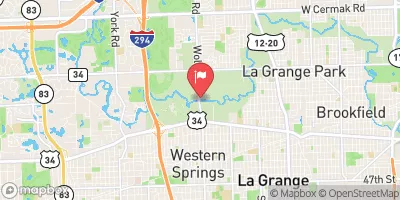
Salt Creek At Western Springs, Il Realtime Data
SALT CREEK AT WESTERN SPRINGS, IL
Realtime Data • Report • Conditions
4
Discharge (cfs)
1.5
Gauge Height (ft)
USGS 05531500
Streamflow discharge was last observed at 4 cfs, and a gauge height of 1.51 feet.
With the
% decrease since yesterday,
the streamflow average over the past 10 days is 73 .
Weather today, Tomorrow,
The primary constituents of the stream are agricultural runoff, urban stormwater runoff, and treated wastewater. There are several tributaries that contribute to the flow of Salt Creek, including Flag Creek and Graue Mill Creek. During the summer months, the flow tends to be low, while during the winter and spring months, the flow increases due to snowmelt and rainfall. The streamgauge also monitors the water level at the Bemis Dam, which is an interesting fact about the hydrology of the area.
October 24, 2026
| Elevation | 634.0 ft |
| Last Updated | |
| Gage height, ft | 1.51 ft |
| Streamflow, ft³/s | 3.6 ft3/s |
| Percent of Normal | 7% |
| Year Over Year Average | 57 cfs |
| 24hr Flow Prediction | cfs |
| Maximum Recorded | 3,110 cfs |
| Geolocation | 41.83, -87.90 |
 Continue with Snoflo Premium