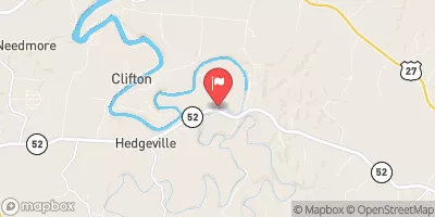
Streamflow discharge was last observed at 91 cfs, and a gauge height of 1.63 feet.
With the
% decrease since yesterday,
the streamflow average over the past 10 days is 80 .
Weather today, Tomorrow,
The river is primarily fed by a combination of groundwater and surface runoff from surrounding hills, and has several small tributaries that contribute to its flow. There are two dams along the river, the Dix Dam and the Herrington Dam, which help regulate its flow and provide hydroelectric power. The river experiences seasonal fluctuations in flow, with the highest levels during the spring months and lowest during the summer. The hydrology of the Dix River is unique in that it has a high concentration of limestone, which can impact water quality and aquatic life.
| Elevation | 812.0 ft |
| Last Updated | |
| Gage height, ft | 1.63 ft |
| Streamflow, ft³/s | 90.5 ft3/s |
| Precipitation, total, in | 0.0 in |
| Percent of Normal | 150% |
| Year Over Year Average | 60 cfs |
| 24hr Flow Prediction | cfs |
| Maximum Recorded | 21,800 cfs |
| Geolocation | 37.64, -84.66 |