

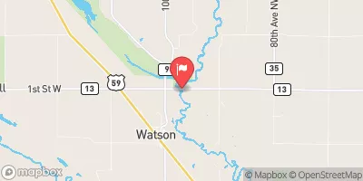
Chippewa River Near Watson, Mn Realtime Data
CHIPPEWA RIVER NEAR WATSON, MN
Realtime Data • Report • Conditions
106
Discharge (cfs)
37.0
Gauge Height (ft)
USGS 05305000
Streamflow discharge was last observed at 106 cfs, and a gauge height of 36.96 feet.
With the
% decrease since yesterday,
the streamflow average over the past 10 days is 108 .
Weather today, Tomorrow,
The river is primarily fed by precipitation and snowmelt, with some contributions from nearby tributaries. The presence of dams on the river can also impact flow and water levels. Seasonal trends show peak flows in the spring due to snowmelt and lower flows in the summer and fall. Interestingly, the Chippewa River was once considered one of the most polluted rivers in the country due to agricultural runoff, but conservation efforts have significantly improved water quality in recent years.
October 10, 2026
| Elevation | 941.0 ft |
| Last Updated | |
| Gage height, ft | 36.96 ft |
| Streamflow, ft³/s | 106.0 ft3/s |
| Stream water level elevation above NAVD 1988, in ft | 937.62 ft |
| Percent of Normal | 77% |
| Year Over Year Average | 139 cfs |
| 24hr Flow Prediction | cfs |
| Maximum Recorded | 4,400 cfs |
 Continue with Snoflo Premium