

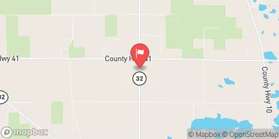
County Ditch 65 Near Maple Bay, Mn (Sw2) Realtime Data
COUNTY DITCH 65 NEAR MAPLE BAY, MN (SW2)
Realtime Data • Report • Conditions
Discharge (cfs)
0.6
Gauge Height (ft)
Streamflow discharge was last observed at 1 cfs, and a gauge height of 0.59 feet.
With the
% decrease since yesterday,
the streamflow average over the past 10 days is 1 .
Weather today, Tomorrow,
The flow providers/constituents are mainly agricultural land, which contributes to nutrient loading and sedimentation. There are no major tributaries or dams associated with this stream. Seasonally, there is a higher flow during spring due to snowmelt and precipitation, while the flow decreases in summer and fall. One interesting fact about this hydrology is that the stream is prone to flash flooding during heavy rainfall events. Overall, County Ditch 65 plays an important role in the local ecosystem and agriculture, but also poses a risk to nearby communities during extreme weather events.
October 15, 2026
| Elevation | 1,139.0 ft |
| Last Updated | |
| Gauge Height | 0.59 ft |
| Observed Discharge | cfs |
| Percent of Normal | % |
| Year Over Year Average | cfs |
| 24hr Flow Prediction | cfs |
| Maximum Recorded | cfs |
| Geolocation | 47.61, -96.28 |
 Continue with Snoflo Premium