

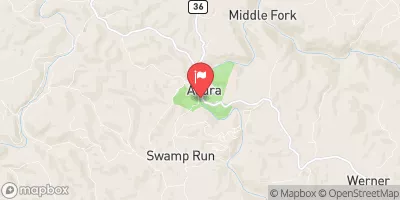
Middle Fork River At Audra, Wv Realtime Data
MIDDLE FORK RIVER AT AUDRA, WV
Realtime Data • Report • Conditions
170
Discharge (cfs)
2.7
Gauge Height (ft)
Streamflow discharge was last observed at 170 cfs, and a gauge height of 2.66 feet.
With the
% decrease since yesterday,
the streamflow average over the past 10 days is 625 .
Weather today, Tomorrow,
There are no major dams on the river, but there are some smaller ones that help control flooding. The river flow is highly seasonal, with peak flow occurring during the spring and early summer due to snowmelt and rainfall. During the summer and fall, flow decreases significantly. Interesting fact: Audra State Park, which is located along the Middle Fork River, features a unique natural bridge formed by the river's erosion of the sandstone rock. Overall, the hydrology of the Middle Fork River at Audra is influenced by a variety of factors, including precipitation, temperature, and geology, and is an important resource for both humans and wildlife.
October 25, 2026
| Elevation | 1,678.0 ft |
| Last Updated | |
| Gage height, ft | 2.66 ft |
| Streamflow, ft³/s | 170.0 ft3/s |
| Precipitation, total, in | 0.0 in |
| Percent of Normal | 465% |
| Year Over Year Average | 37 cfs |
| 24hr Flow Prediction | cfs |
| Maximum Recorded | 12,500 cfs |
 Continue with Snoflo Premium