Alaska Snowpack & Snow Report
As of Oct 14, 2026, Alaska's snowpack is at 98% of normal across 59 SNOTEL stations — the deepest is 142" at Alyeska Weather Top. Live SNOTEL snow depth, snowfall, snow-water equivalent, and 5-day forecasts for every mountain in Alaska.
Alaska snow map
See Alaska’s snow on a live map
Every snow station and ski area, one tap each:
- On the ground — how deep it is now
- Last 24 hrs — who got new snow
- Coming up — 24/48/72-hr forecast, press play
✓ Free for 7 days · ✓ Cancel anytime
Alaska snow conditions today
What’s on the ground, how it compares to normal and what’s coming — refreshed daily from SNOTEL and NOAA.
Alaska's snowpack is at 98% of normal for today's date. The deepest station is Alyeska Weather Top with 142" on the ground (seasonal average 171"). Alpine Airstrip is the coldest right now at 24°F. The biggest expected snowfall over the next 5 days is at Grandview: 26".
The Alaska snowpack is monitored by the USDA NRCS SNOTEL network — automated stations sitting on the mountain that report snow depth, snow water equivalent (SWE), and air temperature every hour. Snoflo joins those live readings to a 5-day NOAA forecast for each station so you can see what's on the ground and what's coming.
Use the SNOTEL inventory below to find the closest station to where you're headed. Percent of normal tells you how today's snowpack compares to the historical average for the same date — below 70% is drought-stressed; above 130% is a fat year. Snow water content (SWC) indicates how wet and dense the snowpack is — useful for water-supply planning and avalanche stability assessment.
For backcountry travel always cross-reference with your regional avalanche center at avalanche.org.
Alaska snow report
| Snowpack monitoring site | Snowpack (in) | Snowfall (in) | 24hr fcst (in) | Next 72hrs (in) | Temp (°F) | % Normal | SWC (%) | Watershed | Elevation (ft) |
|---|---|---|---|---|---|---|---|---|---|
|
Mt. Ryan, Ak
Site MTRA2 |
31 | 0 | 0 | 2 | 35 | 183% | 64% | Chena River | 2,795 |
|
Munson Ridge, Ak
Site MSOA2 |
27 | 0 | 0 | 0 | 32 | 127% | 30% | Chena River | 3,024 |
|
Monument Creek, Ak
Site MNCA2 |
22 | 0 | 0 | 0 | 35 | 208% | 73% | Chena River | 1,870 |
|
Atigun Pass, Ak
Site 957 |
18 | 0 | 0 | 0 | 16 | % | · | Middle Fork-North Fork | 4,800 |
|
Atigun Pass, Ak
Site ATGA2 |
18 | 0 | 0 | 0 | 16 | % | % | Middle Fork-North Fork | 4,751 |
|
Sagwon, Ak
Site 1183 |
12 | 0 | 0 | 0 | 20 | % | · | Kuparuk River | 1,000 |
|
Sagwon, Ak
Site SGWA2 |
12 | 0 | 0 | 0 | 20 | % | % | Sagavanirktok River | 1,178 |
|
Imnaviat Creek, Ak
Site 968 |
11 | 0 | 0 | 0 | 19 | % | · | Kuparuk River | 3,050 |
|
Imnaviat Creek, Ak
Site TOOA2 |
11 | 0 | 0 | 0 | 19 | % | % | Kuparuk River | 3,057 |
|
Gates Glacier, Ak
Site GGLA2 |
11 | 0 | 1 | 8 | 23 | % | % | Chitina River | 3,811 |
|
Tincan Snolite, Ak
Site TNCA2 |
11 | 0 | 2 | 40 | 35 | % | % | Upper Kenai Peninsula | 3,211 |
|
Coldfoot, Ak
Site 958 |
8 | 0 | 0 | 0 | 34 | 333% | 13% | Upper Koyukuk River | 1,040 |
|
Coldfoot, Ak
Site COFA2 |
8 | 0 | 0 | 0 | 33 | 225% | 13% | Upper Koyukuk River | 1,033 |
|
Sugarloaf Mtn, Ak
Site 1095 |
7 | 2 | 0 | 8 | 39 | % | · | N/A | 550 |
|
Sugarloaf Mtn, Ak
Site SUGA2 |
6 | 0 | 3 | 17 | 42 | % | % | Eastern Prince William Sound | 426 |
|
Bettles Field, Ak
Site 1182 |
5 | 0 | 0 | 0 | 34 | 500% | 30% | Upper Koyukuk River | 640 |
|
Bettles Field, Ak
Site BFLA2 |
5 | 0 | 0 | 0 | 34 | % | 30% | Upper Koyukuk River | 626 |
|
Bettles Arpt, Ak
Site BTT |
5 | 0 | 0 | 0 | 34 | % | % | Upper Koyukuk River | 633 |
|
Jack Wade Junction Snotel, Ak
Site JWJA2 |
5 | 0 | 0 | 0 | 30 | 180% | 18% | Fortymile River | 3,611 |
|
Wigand Creek, Ak
Site WIGA2 |
5 | 0 | 0 | 0 | 37 | % | % | Kantishna River | 1,735 |
|
Monahan Flat, Ak
Site 1094 |
4 | 0 | 0 | 1 | 32 | % | 25% | Upper Susitna River | 2,710 |
|
Frostbite Bottom Snotel Site, Ak
Site FBBA2 |
4 | 0 | 0 | 0 | 38 | 450% | 25% | Lower Susitna River | 2,998 |
|
Fairbanks, Ak
Site MNFA2 |
4 | 0 | 0 | 0 | 32 | 1100% | 25% | Upper Susitna River | 2,788 |
|
Bettles Airport, Ak
Site PABT |
4 | 0 | 0 | 0 | 33 | % | % | Allakaket | 643 |
|
Eagle Summit, Ak
Site 960 |
3 | 0 | 0 | 1 | 26 | % | · | Birch-Beaver Creeks | 3,650 |
|
Rocky Point, Ak
Site 973 |
3 | 1 | 0 | 0 | 36 | % | · | Nome | 250 |
|
Wiseman, Ak
Site WSMA2 |
3 | 0 | 0 | 0 | 31 | % | % | Upper Koyukuk River | 1,181 |
|
Horsepasture Pass, Ak
Site HRPA2 |
3 | 0 | 0 | 1 | 29 | % | % | Middle Copper River | 4,261 |
|
Eagle Summit, Ak
Site EAGA2 |
3 | 0 | 0 | 1 | 26 | % | % | Birch-Beaver Creeks | 3,631 |
|
Eielson Visitors Center, Ak
Site EVCA2 |
3 | 0 | 0 | 0 | 30 | % | % | Kantishna River | 3,264 |
|
Inigok Airfield Raws, Ak
Site IGKA2 |
3 | 0 | 0 | 0 | 18 | % | % | Harrison Bay | 167 |
|
Kelly Station, Ak
Site 1175 |
2 | 0 | 0 | 0 | 25 | % | 5% | Lower Noatak River | 310 |
|
Mt. Ryan, Ak
Site 948 |
2 | 0 | 0 | 2 | 35 | 150% | 25% | Chena River | 2,800 |
|
Upper Nome Creek, Ak
Site 1090 |
2 | 0 | 0 | 3 | 33 | % | 25% | Birch-Beaver Creeks | 2,520 |
|
Circle Hot Springs, Ak
Site CHSA2 |
2 | 0 | 0 | 1 | 34 | % | % | Birch-Beaver Creeks | 853 |
|
Kelly Station, Ak
Site KLLA2 |
2 | 0 | 0 | 0 | 25 | 67% | 5% | Lower Noatak River | 400 |
|
Upper Nome Creek, Ak
Site UNCA2 |
2 | 0 | 0 | 3 | 33 | % | 25% | Birch-Beaver Creeks | 2,503 |
|
Rocky Point, Ak
Site RPTA2 |
2 | 0 | 0 | 0 | 36 | % | % | Nome | 164 |
|
Creamers Field Snotel, Ak
Site SCFA2 |
2 | 0 | 0 | 1 | 40 | % | % | Chena River | 440 |
|
Tok Snotel, Ak
Site TOSA2 |
2 | 0 | 0 | 0 | 37 | % | 25% | Tok | 1,620 |
|
Nunatak Lower, Ak
Site GNLA2 |
2 | 0 | 0 | 14 | 47 | % | % | Glacier Bay | 105 |
|
Ripinsky Ridge Weather Station, Ak
Site RRWA2 |
2 | 0 | 0 | 19 | 44 | % | % | Chilkat-Skagway Rivers | 2,496 |
|
Hozatka Lake, Ak
Site HZLA2 |
2 | 0 | 0 | 0 | 40 | % | % | Kateel River | 220 |
|
Chicken, Ak
Site CQNA2 |
2 | 0 | 0 | 0 | 37 | % | % | Fortymile River | 1,781 |
|
Glacier Creek Valley Constantine, Ak
Site GCVA2 |
2 | 0 | 1 | 29 | 40 | % | % | Chilkat-Skagway Rivers | 1,378 |
|
Indian Pass, Ak
Site 946 |
1 | 0 | 0 | 0 | 36 | 0% | · | Anchorage | 2,350 |
|
Kantishna, Ak
Site 1072 |
1 | 0 | 0 | 1 | 36 | % | 110% | Kantishna River | 1,550 |
|
Mcneil River Sgs, Ak
Site 1191 |
1 | 0 | 0 | 12 | 45 | % | · | Tuxedni-Kamishak Bays | 140 |
|
Nuka Glacier, Ak
Site 1037 |
1 | 0 | 11 | 27 | 39 | % | · | Lower Kenai Peninsula | 1,250 |
|
Tokositna Valley, Ak
Site 1089 |
1 | 0 | 0 | 7 | 36 | % | · | Chulitna River | 850 |
|
Alpine Airstrip, Ak
Site APNA2 |
1 | 0 | 0 | 0 | 18 | % | % | Lower Colville River | 36 |
|
Tokositna Valley, Ak
Site TKVA2 |
1 | 0 | 0 | 6 | 36 | % | % | Chulitna River | 800 |
|
Seven Mile Snotel, Ak
Site SVMA2 |
1 | 0 | 0 | 3 | 32 | % | 40% | Ramparts | 633 |
|
Kantishna, Ak
Site KTSA2 |
1 | 0 | 0 | 1 | 36 | 250% | 40% | Kantishna River | 1,588 |
|
Brady Ice-Field, Ak
Site GBFA2 |
1 | 0 | 1 | 42 | 36 | % | % | Glacier Bay | 2,929 |
|
Indian Pass, Ak
Site INPA2 |
1 | 0 | 0 | 0 | 36 | 100% | % | Anchorage | 2,391 |
|
Paradise Hill Snotel, Ak
Site SPHA2 |
1 | 0 | 0 | 0 | 38 | % | 30% | Nabesna-Chisana Rivers | 2,004 |
|
Upper Tsaina River, Ak
Site UPPA2 |
1 | 0 | 4 | 19 | 40 | % | · | Lower Copper River | 1,735 |
|
Nenana Snotel, Ak
Site NESA2 |
1 | 0 | 0 | 1 | 35 | % | % | Lower Tanana River | 420 |
Alaska ski forecast
Per-resort interactive weather forecasts for the next 15 days — temperature curve, precipitation bars, weather symbols, and humidity at every Alaska ski area Snoflo tracks.
-
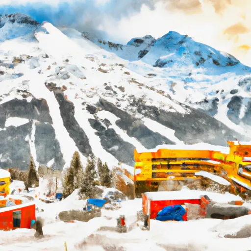 Alyeska Resort15-day forecast
Ski report →
Alyeska Resort15-day forecast
Ski report →
-
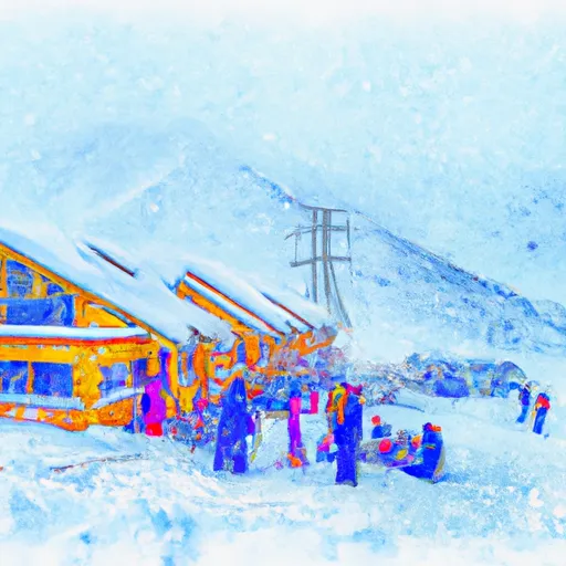 Arctic Valley15-day forecast
Ski report →
Arctic Valley15-day forecast
Ski report →
-
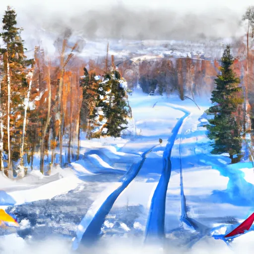 Bartlett High School Cross Country Ski Trails15-day forecast
Ski report →
Bartlett High School Cross Country Ski Trails15-day forecast
Ski report →
-
 Beach Lake Nordic Ski Trails15-day forecast
Ski report →
Beach Lake Nordic Ski Trails15-day forecast
Ski report →
-
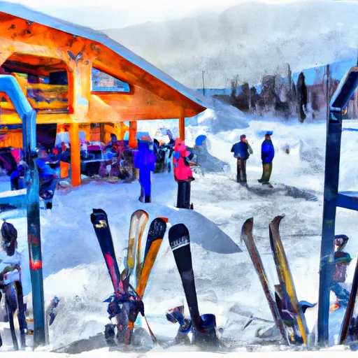 Campbell Airstrip Cross Country Ski Trails15-day forecast
Ski report →
Campbell Airstrip Cross Country Ski Trails15-day forecast
Ski report →
-
 Cleary Summit15-day forecast
Ski report →
Cleary Summit15-day forecast
Ski report →
-
 Eagle River High School Cross Country Ski Trails15-day forecast
Ski report →
Eagle River High School Cross Country Ski Trails15-day forecast
Ski report →
-
 Eaglecrest Ski Area15-day forecast
Ski report →
Eaglecrest Ski Area15-day forecast
Ski report →
-
 Edmonds Lake Cross Country Ski Trails15-day forecast
Ski report →
Edmonds Lake Cross Country Ski Trails15-day forecast
Ski report →
-
 Hillside Cross Country Ski Trails15-day forecast
Ski report →
Hillside Cross Country Ski Trails15-day forecast
Ski report →
-
 Hilltop Ski Area15-day forecast
Ski report →
Hilltop Ski Area15-day forecast
Ski report →
-
 Kincaid Park Cross Country Ski Trails15-day forecast
Ski report →
Kincaid Park Cross Country Ski Trails15-day forecast
Ski report →
-
 Manitoba Mountain15-day forecast
Ski report →
Manitoba Mountain15-day forecast
Ski report →
-
 Mirror Lake Coyote Ski Trails15-day forecast
Ski report →
Mirror Lake Coyote Ski Trails15-day forecast
Ski report →
-
 Moose Mountain15-day forecast
Ski report →
Moose Mountain15-day forecast
Ski report →
-
 Mt. Eyak15-day forecast
Ski report →
Mt. Eyak15-day forecast
Ski report →
-
 Mt Ida15-day forecast
Ski report →
Mt Ida15-day forecast
Ski report →
-
 Russian Jack Trail System15-day forecast
Ski report →
Russian Jack Trail System15-day forecast
Ski report →
-
 Sheep Mountain Cross Country Ski Trails15-day forecast
Ski report →
Sheep Mountain Cross Country Ski Trails15-day forecast
Ski report →
About Alaska snowpack
What is Alaska's snowpack right now?
As of October 14, 2026, Alaska's snowpack is at 98% of normal across 59 SNOTEL stations, and the deepest station is Alyeska Weather Top with 142" on the ground. The full SNOTEL table is below.
Where is the deepest snow in Alaska right now?
As of October 14, 2026, the deepest snowpack in Alaska is 142" at Alyeska Weather Top. See the SNOTEL station table for the full ranking by depth and snow-water equivalent.
Is Alaska's snowpack above or below normal?
Compare the statewide percent-of-normal on this page: 100% is right at the historical average for the date, below 70% is drought-stressed, and above 130% is a well-above-normal year. Each SNOTEL station also shows its own percent of normal.
Where does the Alaska snowpack data come from?
The USDA NRCS SNOTEL network (SNOpack TELemetry) -- automated mountain stations that continuously measure snow depth, snow water equivalent, precipitation, and air temperature. Snoflo aggregates the live readings and joins them to a 5-day NOAA forecast for each station.
What is Snow Water Equivalent (SWE)?
The depth of water you'd get if you melted the entire snowpack. A 30-inch snowpack with 8 inches of SWE is wetter and denser than one with 5 inches -- useful for water-supply forecasting and avalanche assessment. The "SWC %" column shows the ratio.
What does Percent Normal mean?
Current snowpack as a percentage of the historical average for the same date at that station. 100% is right at the historical norm. Below 70% indicates drought-stressed snowpack; above 130% is a fat year.
How fresh is the Alaska data?
SNOTEL stations transmit hourly; Snoflo re-pulls throughout the day. The 5-day forecasts regenerate from NOAA NOHRSC analysis fields and NWS forecast guidance.
Why are SNOTEL stations only in some states?
The NRCS SNOTEL network is concentrated in the western mountain U.S. -- where the snowpack drives federal water supply forecasts for irrigation, hydropower, and municipal water. Eastern snowpack is measured by other networks (CoCoRaHS, NWS) which Snoflo includes elsewhere.
Is this a substitute for the local avalanche center?
No. For backcountry travel always consult your regional avalanche forecast at avalanche.org. Snoflo is informational data only.