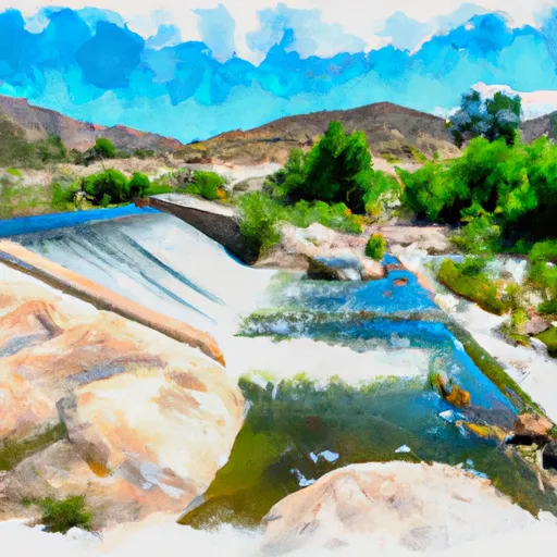
Sheep Canyon Dam

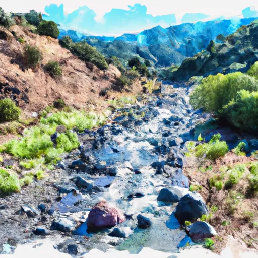
Sheep Canyon
Sheep Canyon is a Timber Crib type dam located in San Bernardino, California, owned and operated by the Forest Service. Built in 1941 for the primary purpose of debris control, this dam stands at a height of 35 feet with a length of 415 feet. The dam has a significant hazard potential and a moderate risk assessment score of 3, indicating the need for careful monitoring and management.
In 2012, Sheep Canyon underwent hydraulic modifications to improve its functionality and safety. The dam features an uncontrolled spillway and is primarily constructed with stone core and soil foundation. Despite its age, the dam's condition assessment is currently listed as "Not Rated," suggesting a need for further evaluation and maintenance. With its strategic location and critical role in debris control, Sheep Canyon serves as an important water resource structure in the region.
Although Sheep Canyon has not been inspected since September 2015, its risk management measures and emergency preparedness remain unspecified. As a federally-owned structure, Sheep Canyon falls under the jurisdiction of the USDA FS and the Los Angeles District. With its intriguing history, structural features, and environmental significance, Sheep Canyon is a site of interest for water resource and climate enthusiasts looking to explore the intersection of infrastructure and natural ecosystems in California.
Plan around the weather
Same NOAA / yr.no feed Snoflo's iOS app uses. Watch the precipitation column on the meteogram -- rain on the basin upstream typically lifts inflow 24-72 hours later.
Next 5 days, hour by hour
Temperature line with weather symbols on top, snow + rain accumulation as columns, humidity as a dotted line.
5-day forecast table
Every 3 hours, broken out across temperature, snow, rain, humidity, and wind. Each cell is colour-coded relative to the column min/max.
| Time | Condition | Temp (°F) | Snow (in) | Rain (in) | Humidity (%) | Wind (mps) | Wind dir |
|---|---|---|---|---|---|---|---|
| Loading detailed forecast… | |||||||
15-day temperature & precipitation
Daily temperatures, snow, and rain projected over the next two weeks.
Nearby streamflow gauges
USGS streamgauges around Sheep Canyon -- inflows here typically show up in storage 24-72 hours later.
| Streamgauge | Discharge | View |
|---|---|---|
| Cajon C Bl Lone Pine C Nr Keenbrook Ca | 5 cfs | → |
| Lone Pine C Nr Keenbrook Ca | 1 cfs | → |
| Lytle C Nr Fontana Ca | 47 cfs | → |
| Fontana Ph Forebay Spillway Nr Fontana Ca | · | → |
| Fontana Uwc Surface Div Nr Fontana Ca | 13 cfs | → |
| Fontana Uwc Surface Div Weir 2 Nr Fontana Ca | 12 cfs | → |
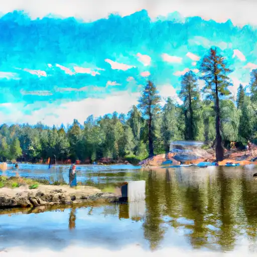
Make a day of it
Boat launches, lakeside camping, fishing access, and other reservoirs near Sheep Canyon.
Boat launches
See all →


Campgrounds
See all →


Fishing spots
See all →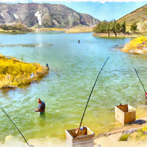


River runs
See all →


About Sheep Canyon
Where does the data for Sheep Canyon come from?
Structural and regulatory data come from the U.S. Army Corps of Engineers' National Inventory of Dams (NID). Weather forecast comes from NOAA / yr.no -- the same feed Snoflo's iOS app uses.
How often is the report updated?
NID structural data refreshes annually as the Corps publishes updated assessments. The weather forecast refreshes throughout the day.
What does the Significant hazard rating mean?
The Corps of Engineers' hazard potential classification grades probable consequences if the dam fails: High = probable loss of human life; Significant = no probable loss of human life but possible economic loss / environmental damage; Low = no probable loss of human life, only minor economic / environmental losses. See the Dam Data Reference card below for the full definitions.
What's "% of normal"?
The current storage value compared to the historical average storage on this calendar day. 100% = right on average; values above 100% mean above-normal storage (wet year); values below mean below-normal (dry year or drought).
Can I get alerts when storage crosses a threshold?
Yes -- alerts are managed in the Snoflo iOS app. Favorite this dam, set a threshold, and you'll get a push the moment conditions cross.
Dam data reference
Condition Assessment
- Satisfactory
- No existing or potential dam safety deficiencies are recognized. Acceptable performance is expected under all loading conditions (static, hydrologic, seismic) in accordance with the minimum applicable state or federal regulatory criteria or tolerable risk guidelines.
- Fair
- No existing dam safety deficiencies are recognized for normal operating conditions. Rare or extreme hydrologic and/or seismic events may result in a dam safety deficiency. Risk may be in the range to take further action.
- Poor
- A dam safety deficiency is recognized for normal operating conditions which may realistically occur. Remedial action is necessary. POOR may also be used when uncertainties exist as to critical analysis parameters which identify a potential dam safety deficiency.
- Unsatisfactory
- A dam safety deficiency is recognized that requires immediate or emergency remedial action for problem resolution.
- Not Rated
- The dam has not been inspected, is not under state or federal jurisdiction, or has been inspected but, for whatever reason, has not been rated.
Hazard Potential Classification
- High
- Dams assigned the high hazard potential classification are those where failure or mis-operation will probably cause loss of human life.
- Significant
- Dams assigned the significant hazard potential classification are those dams where failure or mis-operation results in no probable loss of human life but can cause economic loss, environmental damage, disruption of lifeline facilities, or impact other concerns. Significant hazard potential classification dams are often located in predominantly rural or agricultural areas but could be in areas with population and significant infrastructure.
- Low
- Dams assigned the low hazard potential classification are those where failure or mis-operation results in no probable loss of human life and low economic and/or environmental losses. Losses are principally limited to the owner's property.
- Undetermined
- Dams for which a downstream hazard potential has not been designated or is not provided.