

-
 Snoflo Premium
Get unlimited access to all our content
With no Ad interruptions! - Start Your Free Trial Login with existing account
Riverdale
Eden Index
Climate
8.0
•
Recreation
4.2
•
Community
1.9
•
Safeguard
5.1/10
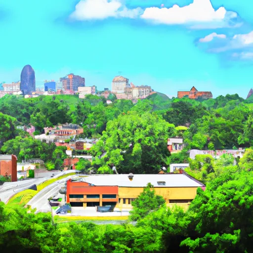
Riverdale, Georgia is a vibrant city located in Clayton County, in the southern part of the state. The climate in Riverdale is considered subtropical, characterized by hot and humid summers and mild winters. Summers typically see temperatures in the mid-80s to 90s Fahrenheit, while winters average in the 40s to 50s Fahrenheit. Rainfall is evenly distributed throughout the year.
Hydrologically, Riverdale is situated near the Flint River watershed, which provides a source of freshwater for the area. The city also benefits from the presence of several lakes and ponds, offering recreational opportunities for fishing, boating, and water sports.
Outdoor enthusiasts in Riverdale can take advantage of numerous parks and nature preserves in the vicinity. Some notable options include Riverdale Town Center Park, which features walking trails, playgrounds, and picnic areas. Reynolds Nature Preserve, a 146-acre natural area, offers hiking trails, wildlife observation, and educational programs. Additionally, Clayton County International Park provides opportunities for camping, swimming, and other outdoor activities.
Overall, Riverdale, Georgia offers a pleasant climate, access to freshwater sources, and a variety of outdoor recreation opportunities, making it an attractive destination for nature lovers and outdoor enthusiasts.
What is the Eden Index?
The Snoflo Eden Index serves as a comprehensive rating system for regions, evaluating their desirability through a holistic assessment of climate health, outdoor recreation opportunities, and natural disaster risk, acknowledging the profound impact of these factors on livability and well-being.
Climate Health Indicator (CHI): 8.0
Riverdale receives approximately
1238mm of rain per year,
with humidity levels near 81%
and air temperatures averaging around
17°C.
Riverdale has a plant hardyness factor of
8, meaning
plants and agriculture in this region tend to thrive here all year round.
By considering the ideal temperature range, reliable water supplies, clean air, and stable seasonal rain or snowpacks, the Climate Health Indicator (CHI) underscores the significance of a healthy climate as the foundation for quality living.
A healthy climate is paramount for ensuring a high quality of life and livability in a region, fostering both physical well-being and environmental harmony. This can be characterized by ideal temperatures, reliable access to water supplies, clean air, and consistent seasonal rain or snowpacks.
Weather Forecast
Streamflow Conditions
Apalachicola
Area Rivers
Apalachicola
Snowpack Depths
Apalachicola
Reservoir Storage Capacity
Apalachicola
Groundwater Levels
Recreational Opportunity Index (ROI): 4.2
The Recreational Opportunity Index (ROI) recognizes the value of outdoor recreational options, such as parks, hiking trails, camping sites, and fishing spots, while acknowledging that climate plays a pivotal role in ensuring the comfort and consistency of these experiences.
Access to outdoor recreational opportunities, encompassing activities such as parks, hiking, camping, and fishing, is crucial for overall well-being, and the climate plays a pivotal role in enabling and enhancing these experiences, ensuring that individuals can engage in nature-based activities comfortably and consistently.
Camping Areas
| Campground | Campsites | Reservations | Toilets | Showers | Elevation |
|---|---|---|---|---|---|
| Sweetwater - Allatoona Lake | None | 896 ft | |||
| Jacks River Fields | 14 | 2,865 ft | |||
| Tumbling Creek | 8 | 1,505 ft | |||
| Ridgeway - Carters Lake | None | 1,282 ft | |||
| Victoria - Allatoona Lake | None | 897 ft | |||
| Thunder Rock | 42 | 1,140 ft | |||
| Morganton Point | 82 | 1,753 ft | |||
| Amicalola Falls State Park | None | 1,779 ft | |||
| Sylco | 12 | 1,219 ft | |||
| Dobbins Lakeside Military | None | 1,079 ft |
Nearby Ski Areas
Catastrophe Safeguard Index (CSI):
The Catastrophe Safeguard Index (CSI) recognizes that natural disaster risk, encompassing floods, fires, hurricanes, and tornadoes, can drastically affect safety and the overall appeal of an area.
The level of natural disaster risk in a region significantly affects safety and the overall livability, with climate change amplifying these risks by potentially increasing the frequency and intensity of events like floods, fires, hurricanes, and tornadoes, thereby posing substantial challenges to community resilience and well-being.
Community Resilience Indicator (CRI): 1.9
The Community Resilience Indicator (CRI) recognizes that education, healthcare, and socioeconomics are crucial to the well-being of a region. The CRI acknowledges the profound impact of these elements on residents' overall quality of life. By evaluating educational resources, healthcare accessibility, and economic inclusivity, the index captures the essential aspects that contribute to a thriving community, fostering resident satisfaction, equity, and social cohesion.