

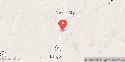
Mulberry Fork Near Garden City, Al. Realtime Data
MULBERRY FORK NEAR GARDEN CITY, AL.
Realtime Data • Report • Conditions
70
Discharge (cfs)
3.2
Gauge Height (ft)
Streamflow discharge was last observed at 70 cfs, and a gauge height of 3.18 feet.
With the
% decrease since yesterday,
the streamflow average over the past 10 days is 81 .
Weather today, Tomorrow,
The flow is provided by precipitation and runoff from surrounding areas. There are no specific related tributaries or dams, but the river is affected by seasonal trends, with higher flows in the winter and spring due to increased precipitation. Interestingly, the Mulberry Fork river is known for its clear waters and rocky shoals, which make it a popular spot for kayaking and fishing. Overall, the Mulberry Fork near Garden City, AL streamgauge provides important information about the hydrology of the region and serves as an important tool for water management and conservation efforts.
October 8, 2026
| Elevation | 407.0 ft |
| Last Updated | |
| Gage height, ft | 3.18 ft |
| Streamflow, ft³/s | 69.8 ft3/s |
| Percent of Normal | 259% |
| Year Over Year Average | 27 cfs |
| 24hr Flow Prediction | cfs |
| Maximum Recorded | 28,700 cfs |
| Geolocation | 34.00, -86.75 |
 Continue with Snoflo Premium