

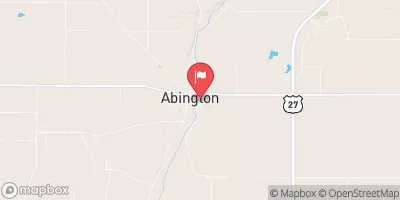
East Fork Whitewater River At Abington, Ind. Realtime Data
EAST FORK WHITEWATER RIVER AT ABINGTON, IND.
Realtime Data • Report • Conditions
549
Discharge (cfs)
5.0
Gauge Height (ft)
Streamflow discharge was last observed at 549 cfs, and a gauge height of 4.99 feet.
With the
% decrease since yesterday,
the streamflow average over the past 10 days is 524 .
Weather today, Tomorrow,
The river is formed by several smaller tributaries and flows through a dam at Connersville. The flow is affected by seasonal trends, with higher levels in the spring and lower levels in the summer. The river also has a reputation for being a challenging whitewater destination for kayakers and canoeists. The water flow is influenced by several upstream water providers, including the Brookville Lake Dam and the Whitewater River Dam. In conclusion, the East Fork Whitewater River at Abington, IN stream gauge is an important resource for both flood control and recreational activities, affected by seasonal trends and the presence of upstream dams.
October 16, 2026
| Elevation | 800.0 ft |
| Last Updated | |
| DCP battery voltage, V | 12.5 volts |
| Gage height, ft | 4.99 ft |
| Streamflow, ft³/s | 549.0 ft3/s |
| Percent of Normal | 1,247% |
| Year Over Year Average | 44 cfs |
| 24hr Flow Prediction | cfs |
| Maximum Recorded | 12,300 cfs |
| Geolocation | 39.73, -84.96 |
 Continue with Snoflo Premium