

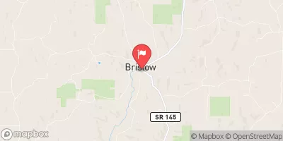
Middle Fork Anderson River At Bristow, Ind. Realtime Data
MIDDLE FORK ANDERSON RIVER AT BRISTOW, IND.
Realtime Data • Report • Conditions
2
Discharge (cfs)
4.7
Gauge Height (ft)
Streamflow discharge was last observed at 2 cfs, and a gauge height of 4.67 feet.
With the
% decrease since yesterday,
the streamflow average over the past 10 days is 2 .
Weather today, Tomorrow,
The river is primarily fed by surface runoff and groundwater from the surrounding area. There are no significant tributaries or dams that directly impact the flow of the river. However, seasonal trends show that the flow increases in the spring due to snowmelt and rainfall, and decreases in the summer and fall. Interestingly, the river has been known to occasionally dry up completely during droughts. Despite this, the Middle Fork Anderson River is an important natural resource that supports aquatic life and provides recreational opportunities for the community.
October 11, 2026
| Elevation | 414.0 ft |
| Last Updated | |
| Gage height, ft | 4.67 ft |
| Streamflow, ft³/s | 1.9 ft3/s |
| Percent of Normal | 55% |
| Year Over Year Average | 4 cfs |
| 24hr Flow Prediction | cfs |
| Maximum Recorded | 1,220 cfs |
| Geolocation | 38.14, -86.72 |
 Continue with Snoflo Premium