Streamflow discharge was last observed at 5 cfs, and a gauge height of 3.38 feet.
With the
% decrease since yesterday,
the streamflow average over the past 10 days is 6 .
Weather today, Tomorrow,
The river is fed by several small tributaries and is impounded by the Delaney Creek Reservoir. Seasonal trends show higher flows in the spring due to snowmelt and spring rains. Interesting facts include the river's role in Salem's history as a primary source of water and the presence of an endangered species, the Indiana bat, which roosts in nearby caves. Overall, the West Fork Blue River is an important hydrological feature in Salem and serves as a vital habitat for local wildlife.
| Elevation | 723.0 ft |
| Last Updated | |
| Gage height, ft | 3.38 ft |
| Streamflow, ft³/s | 4.82 ft3/s |
| Precipitation, total, in | 0.0 in |
| Percent of Normal | 77% |
| Year Over Year Average | 6 cfs |
| 24hr Flow Prediction | cfs |
| Maximum Recorded | 6,050 cfs |
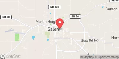
| Geolocation | 38.61, -86.09 |