

Rocky Creek At Great Falls, Sc Realtime Data
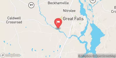
ROCKY CREEK AT GREAT FALLS, SC
Realtime Data • Report • Conditions
2
Discharge (cfs)
2.4
Gauge Height (ft)
Streamflow discharge was last observed at 2 cfs, and a gauge height of 2.42 feet.
With the
% decrease since yesterday,
the streamflow average over the past 10 days is 3 .
Weather today, Tomorrow,
The basin is primarily driven by rainfall, with occasional snowmelt events. The Rocky Creek has a few small tributaries, but they do not significantly impact flow rates. The flow rate tends to be higher in the spring due to increased rainfall and snowmelt, and lower in the summer and fall due to drier conditions. A unique characteristic of the Rocky Creek is that it flows through the ruins of an old textile mill, which can impact water quality. Additionally, the Great Falls Dam, located downstream from the streamgauge, controls the flow of the Rocky Creek and can impact flow rates.
October 24, 2026
| Elevation | 299.0 ft |
| Last Updated | |
| Gage height, ft | 2.42 ft |
| Streamflow, ft³/s | 1.98 ft3/s |
| Stream water level elevation above NAVD 1988, in ft | 296.55 ft |
| Percent of Normal | 34% |
| Year Over Year Average | 6 cfs |
| 24hr Flow Prediction | cfs |
| Maximum Recorded | 9,590 cfs |
| Geolocation | 34.57, -80.92 |
 Continue with Snoflo Premium