

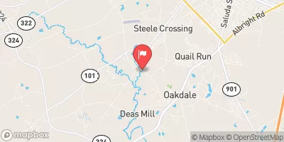
Wildcat Creek Below Rock Hill, Sc Realtime Data
WILDCAT CREEK BELOW ROCK HILL, SC
Realtime Data • Report • Conditions
4
Discharge (cfs)
2.2
Gauge Height (ft)
USGS 021473428
Streamflow discharge was last observed at 4 cfs, and a gauge height of 2.16 feet.
With the
% decrease since yesterday,
the streamflow average over the past 10 days is 3 .
Weather today, Tomorrow,
The creek flows through Rock Hill and eventually joins the Catawba River. There are no major tributaries or dams on this portion of the creek. The flow in Wildcat Creek varies seasonally, with higher flow during the wetter months and lower flow during the drier months. Interestingly, Wildcat Creek is home to a diverse range of aquatic life, including several rare species of fish and mussels. Additionally, the creek has been the site of ongoing efforts to improve water quality and restore aquatic habitats.
October 24, 2026
| Elevation | 530.0 ft |
| Last Updated | |
| Gage height, ft | 2.16 ft |
| Stream water level elevation above NAVD 1988, in ft | 509.51 ft |
| Streamflow, ft³/s | 4.36 ft3/s |
| Percent of Normal | 159% |
| Year Over Year Average | 3 cfs |
| 24hr Flow Prediction | cfs |
| Maximum Recorded | 1,610 cfs |
| Geolocation | 34.89, -81.07 |
 Continue with Snoflo Premium