Colorado Snowpack & Snow Report
As of Oct 15, 2026, Colorado's snowpack is at 26% of normal across 115 SNOTEL stations — the deepest is 54" at Tower. Live SNOTEL snow depth, snowfall, snow-water equivalent, and 5-day forecasts for every mountain in Colorado.
Colorado snow map
See Colorado’s snow on a live map
Every snow station and ski area, one tap each:
- On the ground — how deep it is now
- Last 24 hrs — who got new snow
- Coming up — 24/48/72-hr forecast, press play
✓ Free for 7 days · ✓ Cancel anytime
Colorado snow conditions today
What’s on the ground, how it compares to normal and what’s coming — refreshed daily from SNOTEL and NOAA.
Colorado's snowpack is at 26% of normal for today's date — well below the 70% drought-stress threshold. The deepest station is Tower with 54" on the ground (seasonal average 66"). Deadman Hill is the coldest right now at 25°F. The biggest expected snowfall over the next 5 days is at Willow Park: 19".
The Colorado snowpack is monitored by the USDA NRCS SNOTEL network — automated stations sitting on the mountain that report snow depth, snow water equivalent (SWE), and air temperature every hour. Snoflo joins those live readings to a 5-day NOAA forecast for each station so you can see what's on the ground and what's coming.
Use the SNOTEL inventory below to find the closest station to where you're headed. Percent of normal tells you how today's snowpack compares to the historical average for the same date — below 70% is drought-stressed; above 130% is a fat year. Snow water content (SWC) indicates how wet and dense the snowpack is — useful for water-supply planning and avalanche stability assessment.
For backcountry travel always cross-reference with your regional avalanche center at avalanche.org.
Colorado snow report
| Snowpack monitoring site | Snowpack (in) | Snowfall (in) | 24hr fcst (in) | Next 72hrs (in) | Temp (°F) | % Normal | SWC (%) | Watershed | Elevation (ft) |
|---|---|---|---|---|---|---|---|---|---|
|
Castle Creek Near Aspen, Co
Site ASEC2 |
13 | 0 | 0 | 0 | 40 | % | 7% | Roaring Fork | 11,395 |
|
Red Mountain Pass, Co
Site 713 |
12 | 0 | 0 | 0 | 40 | % | 15% | Animas | 11,200 |
|
Nohrsc Red Mountain Pass, Co
Site RMPC2 |
12 | 0 | 0 | 0 | 38 | % | 14% | Animas | 11,090 |
|
Slumgullion, Co
Site 762 |
10 | -1 | 0 | 0 | 38 | 700% | 16% | Upper Gunnison | 11,440 |
|
Grand Mesa Skyway Pt, Co
Site CAGMS_MADIS |
10 | 0 | 1 | 1 | 39 | % | % | Colorado Headwaters-Plateau | 10,138 |
|
Bison Lake, Co
Site 345 |
9 | 1 | 0 | 0 | 35 | 800% | 23% | Colorado Headwaters | 10,880 |
|
Spud Mountain, Co
Site 780 |
9 | 0 | 0 | 0 | 44 | % | 17% | Animas | 10,660 |
|
Wager Gulch, Co
Site 1188 |
9 | 1 | 0 | 0 | 41 | 800% | 17% | Upper Gunnison | 11,100 |
|
Bison Lake, Co
Site BLSC2 |
9 | 0 | 0 | 0 | 35 | % | 23% | Colorado Headwaters | 10,952 |
|
Nohrsc Wager Gulch, Co
Site WRGC2 |
9 | 0 | 0 | 0 | 41 | % | 17% | Upper Gunnison | 11,188 |
|
Spud Mountain, Co
Site SPSC2 |
9 | 0 | 0 | 0 | 44 | % | 17% | Animas | 10,663 |
|
Mesa Lakes, Co
Site 622 |
8 | 0 | 0 | 0 | 38 | % | 16% | Colorado Headwaters-Plateau | 10,000 |
|
Loveland Basin, Co
Site 602 |
7 | 0 | 0 | 0 | 28 | 34% | 6% | Clear | 11,400 |
|
Molas Lake, Co
Site 632 |
7 | 0 | 0 | 0 | 42 | % | 16% | Animas | 10,500 |
|
Middle Creek, Co
Site MDLC2 |
7 | 0 | 0 | 0 | 38 | 1500% | 31% | Rio Grande Headwaters | 11,346 |
|
Nohrsc Mesa Lakes, Co
Site MESC2 |
7 | 0 | 1 | 1 | 39 | 700% | 17% | Colorado Headwaters-Plateau | 10,161 |
|
Nohrsc Molas Lake, Co
Site MLSC2 |
7 | 0 | 0 | 0 | 42 | 200% | 16% | Animas | 10,663 |
|
Sharkstooth, Co
Site SKZC2 |
7 | 0 | 0 | 0 | 44 | % | 17% | Upper Dolores | 10,775 |
|
Middle Creek, Co
Site 624 |
7 | 0 | 0 | 0 | 42 | 1500% | 31% | Rio Grande Headwaters | 11,250 |
|
Grand Mesa Study Plot, Co
Site GMSPC_MADIS |
7 | 0 | 1 | 1 | 39 | % | % | Colorado Headwaters-Plateau | 10,634 |
|
Black Mesa, Co
Site 1185 |
6 | 0 | 3 | 3 | 29 | % | 20% | Upper Dolores | 11,580 |
|
Columbus Basin, Co
Site 904 |
6 | 0 | 0 | 0 | 38 | % | 15% | Middle San Juan | 10,785 |
|
El Diente Peak, Co
Site 465 |
6 | 0 | 0 | 0 | 44 | % | 10% | Upper Dolores | 10,000 |
|
Sharkstooth, Co
Site 1060 |
6 | 0 | 0 | 0 | 44 | % | 20% | Upper Dolores | 10,720 |
|
Lizard Head Pass, Co
Site LIZC2 |
6 | 0 | 0 | 0 | 45 | 100% | 15% | Upper Dolores | 10,220 |
|
Nohrsc El Diente Peak, Co
Site EDSC2 |
6 | 0 | 0 | 0 | 46 | % | 10% | Upper Dolores | 10,191 |
|
Mineral Creek, Co
Site 629 |
5 | 0 | 0 | 0 | 43 | 200% | 16% | Animas | 10,040 |
|
Nohrsc Hoosier Pass, Co
Site HOOC2 |
5 | 0 | 0 | 0 | 37 | 0% | 18% | South Platte Headwaters | 11,605 |
|
Tower, Co
Site 825 |
5 | 0 | 2 | 2 | 34 | 0% | 14% | North Platte Headwaters | 10,500 |
|
Nohrsc Mineral Creek, Co
Site MINC2 |
5 | 0 | 0 | 0 | 41 | 200% | 16% | Animas | 10,050 |
|
Tower, Co
Site TOWC2 |
5 | 0 | 2 | 2 | 32 | % | 14% | North Platte Headwaters | 10,644 |
|
Burro Mountain, Co
Site 378 |
4 | 0 | 0 | 0 | 40 | % | 23% | Upper White | 9,400 |
|
Dry Lake, Co
Site 457 |
4 | 1 | 0 | 0 | 43 | % | 10% | Upper Yampa | 8,400 |
|
Stump Lakes, Co
Site 797 |
4 | 0 | 0 | 0 | 40 | 600% | 35% | Animas | 11,200 |
|
Nohrsc Burro Mountain, Co
Site BURC2 |
4 | 0 | 1 | 1 | 43 | 300% | 20% | Upper White | 9,335 |
|
Nohrsc Dry Lake, Co
Site DRLC2 |
4 | 0 | 0 | 0 | 44 | 50% | 10% | Upper Yampa | 8,295 |
|
Nohrsc Overland Res., Co
Site OVRC2 |
4 | 0 | 0 | 0 | 40 | % | 15% | North Fork Gunnison | 9,942 |
|
Nohrsc Schofield Pass, Co
Site SOSC2 |
4 | 0 | 0 | 0 | 34 | % | 13% | Roaring Fork | 10,712 |
|
Stump Lakes, Co
Site STPC2 |
4 | 0 | 0 | 0 | 40 | % | 35% | Animas | 11,273 |
|
Nohrsc Vallecito, Co
Site VALC2 |
4 | 0 | 0 | 0 | 43 | % | 13% | Upper San Juan | 10,732 |
|
Cameron Pass, Co
Site CACMP_MADIS |
4 | 0 | 4 | 4 | 35 | % | % | North Platte Headwaters | 10,585 |
|
Mancos, Co
Site 905 |
4 | 0 | 0 | 0 | 47 | % | 13% | Mancos | 10,000 |
|
Buckskin Joe, Co
Site 938 |
3 | 0 | 0 | 0 | 33 | % | 40% | South Platte Headwaters | 11,150 |
|
Idarado, Co
Site 538 |
3 | 0 | 0 | 0 | 45 | % | 17% | Uncompahange | 9,800 |
|
Lone Cone, Co
Site 589 |
3 | 0 | 0 | 0 | 49 | % | 7% | San Miguel | 9,600 |
|
Vallecito, Co
Site 843 |
3 | 0 | 6 | 6 | 33 | % | 3% | Upper San Juan | 10,880 |
|
Wolf Creek Summit, Co
Site 874 |
3 | 0 | 0 | 0 | 38 | 400% | 33% | Rio Grande Headwaters | 11,000 |
|
Berthoud Summit, Co
Site BTSC2 |
3 | 0 | 1 | 1 | 30 | 67% | 13% | Clear | 11,332 |
|
Nohrsc Jackwhacker Gulch, Co
Site JWGC2 |
3 | 0 | 0 | 0 | 33 | 0% | 23% | Upper South Platte | 11,414 |
|
Nohrsc Buckskin Joe, Co
Site BUCC2 |
3 | 0 | 0 | 0 | 32 | 200% | 40% | South Platte Headwaters | 11,159 |
|
Nohrsc Idarado, Co
Site IDRC2 |
3 | 0 | 0 | 0 | 45 | % | 20% | Uncompahange | 9,847 |
|
Nohrsc Ripple Creek, Co
Site RCPC2 |
3 | 0 | 0 | 0 | 36 | % | 10% | Upper White | 10,348 |
|
Apishapa, Co
Site 303 |
2 | 0 | 0 | 0 | 40 | % | · | Huerfano | 10,000 |
|
Mc Clure Pass, Co
Site 618 |
2 | 0 | 0 | 0 | 48 | % | 20% | North Fork Gunnison | 9,500 |
|
Michigan Creek, Co
Site 937 |
2 | 0 | 0 | 0 | 33 | 200% | 45% | South Platte Headwaters | 10,600 |
|
Never Summer, Co
Site 1031 |
2 | 0 | 2 | 12 | 33 | 460% | 115% | North Platte Headwaters | 10,280 |
|
Overland Res., Co
Site 675 |
2 | 0 | 5 | 5 | 37 | % | 30% | North Fork Gunnison | 9,840 |
|
Park Reservoir, Co
Site 682 |
2 | -1 | 5 | 5 | 33 | % | 55% | Lower Gunnison | 9,960 |
|
Rabbit Ears, Co
Site 709 |
2 | 0 | 1 | 1 | 38 | 100% | 20% | Upper Yampa | 9,400 |
|
Trapper Lake, Co
Site 827 |
2 | 0 | 0 | 0 | 39 | % | 15% | Upper White | 9,700 |
|
Nohrsc Columbine Pass, Co
Site CPSC2 |
2 | 0 | 0 | 0 | 44 | 1000% | 55% | Lower Gunnison | 9,174 |
|
Nohrsc North Lost Trail, Co
Site NLSC2 |
2 | 0 | 0 | 0 | 46 | 100% | 15% | Roaring Fork | 9,230 |
|
Nohrsc Michigan Creek, Co
Site MIHC2 |
2 | 0 | 0 | 0 | 38 | 0% | 45% | South Platte Headwaters | 10,716 |
|
Wolf Creek Snotel, Co
Site WCSC2 |
2 | 0 | 0 | 0 | 38 | 400% | 50% | Rio Grande Headwaters | 11,031 |
|
Nohrsc Echo Lake, Co
Site ECLC2 |
2 | 0 | 0 | 0 | 29 | % | 20% | Upper South Platte | 10,667 |
|
Nohrsc Elkhead Divide, Co
Site EKDC2 |
2 | 0 | 3 | 3 | 39 | 0% | 15% | Upper Yampa | 8,817 |
|
Nohrsc Lone Cone, Co
Site LNCC2 |
2 | 0 | 0 | 0 | 49 | 0% | 10% | San Miguel | 9,748 |
|
Castle Peak, Co
Site CAPC2 |
2 | 0 | 0 | 0 | 36 | % | 35% | Roaring Fork | 11,539 |
|
Nohrsc Grayback, Co
Site GYBC2 |
2 | 0 | 0 | 0 | 38 | 200% | 25% | Alamosa-Trinchera | 11,631 |
|
Nohrsc South Colony, Co
Site SCYC2 |
2 | 0 | 0 | 0 | 34 | % | 40% | Arkansas Headwaters | 10,981 |
|
Columbine Pass, Co
Site 409 |
2 | 0 | 0 | 0 | 44 | % | 55% | Lower Gunnison | 9,400 |
|
Lower Elk, Co
Site C3ELK_MADIS |
2 | 0 | 1 | 1 | 53 | % | % | Upper Yampa | 7,236 |
|
Nohrsc Mc Clure Pass, Co
Site MCPC2 |
2 | 0 | 0 | 0 | 48 | % | 20% | North Fork Gunnison | 8,784 |
|
Beaver Ck Village, Co
Site 1041 |
1 | 0 | 0 | 0 | 48 | % | · | Eagle | 8,500 |
|
Berthoud Summit, Co
Site 335 |
1 | 1 | 3 | 8 | 34 | 50% | 10% | Clear | 11,300 |
|
Crosho, Co
Site 426 |
1 | 0 | 0 | 0 | 42 | % | · | Upper Yampa | 9,100 |
|
Cumbres Trestle, Co
Site 431 |
1 | 0 | 0 | 0 | 44 | % | 30% | Conejos | 10,040 |
|
Deadman Hill, Co
Site 438 |
1 | 0 | 5 | 5 | 30 | 17% | 30% | Cache La Poudre | 10,220 |
|
Fremont Pass, Co
Site 485 |
1 | 1 | 0 | 0 | 33 | 67% | 20% | Arkansas Headwaters | 11,400 |
|
Glen Cove, Co
Site 1057 |
1 | 0 | 0 | 1 | 36 | % | · | Fountain | 11,460 |
|
Hayden Pass, Co
Site 1102 |
1 | 0 | 0 | 0 | 42 | % | 10% | San Luis | 10,720 |
|
Mccoy Park, Co
Site 1040 |
1 | 0 | 0 | 0 | 49 | % | · | Eagle | 9,480 |
|
Medano Pass, Co
Site 914 |
1 | 0 | 0 | 0 | 42 | % | · | Huerfano | 9,649 |
|
Porphyry Creek, Co
Site 701 |
1 | 0 | 0 | 0 | 35 | 200% | 20% | Tomichi | 10,760 |
|
Schofield Pass, Co
Site 737 |
1 | -1 | 0 | 0 | 34 | % | 50% | Roaring Fork | 10,700 |
|
South Colony, Co
Site 773 |
1 | 0 | 0 | 0 | 34 | 300% | 80% | Arkansas Headwaters | 10,800 |
|
Vail Mountain, Co
Site 842 |
1 | 0 | 0 | 0 | 40 | 300% | 40% | Eagle | 10,300 |
|
Weminuche Creek, Co
Site 1160 |
1 | 0 | 0 | 0 | 44 | % | 40% | Piedra | 10,740 |
|
Whiskey Ck, Co
Site 857 |
1 | 0 | 0 | 0 | 44 | % | 10% | Purgatoire | 10,220 |
|
Willow Park, Co
Site 870 |
1 | 0 | 2 | 2 | 31 | 300% | 40% | Big Thompson | 10,700 |
|
Deadman Hill, Co
Site DDMC2 |
1 | 0 | 6 | 6 | 30 | 17% | 20% | Cache La Poudre | 10,266 |
|
Nohrsc Arapaho Ridge, Co
Site ARPC2 |
1 | 0 | 2 | 2 | 30 | 100% | 30% | Colorado Headwaters | 11,001 |
|
Nohrsc Beaver Ck Village, Co
Site BCVC2 |
1 | 0 | 0 | 0 | 43 | % | · | Eagle | 8,541 |
|
Brumley, Co
Site BRMC2 |
1 | 0 | 0 | 0 | 42 | % | 10% | Arkansas Headwaters | 10,630 |
|
Silverton 0.3 Wsw, Co
Site CO-SJ-4 |
1 | 0 | 0 | 0 | 50 | % | % | Animas | 9,291 |
|
Crosho, Co
Site CRSC2 |
1 | 0 | 0 | 0 | 42 | 0% | · | Upper Yampa | 8,984 |
|
Nohrsc Cumbres Trestle, Co
Site CUMC2 |
1 | 0 | 0 | 0 | 45 | 200% | 30% | Conejos | 10,017 |
|
Nohrsc Mccoy Park, Co
Site MCYC2 |
1 | 0 | 0 | 0 | 49 | % | · | Eagle | 9,492 |
|
Apishapa, Co
Site APSC2 |
1 | 0 | 0 | 0 | 40 | % | · | Purgatoire | 10,037 |
|
Nohrsc Glen Cove, Co
Site GLNC2 |
1 | 0 | 0 | 0 | 29 | 0% | · | Fountain | 11,464 |
|
Nohrsc Hayden Pass, Co
Site HPAC2 |
1 | 0 | 0 | 0 | 40 | % | 10% | San Luis | 10,676 |
|
Nohrsc Medano Pass, Co
Site MDPC2 |
1 | 0 | 0 | 0 | 42 | 0% | · | San Luis | 9,699 |
|
Nohrsc Porphyry Creek, Co
Site PRPC2 |
1 | 0 | 0 | 0 | 41 | % | 20% | Tomichi | 10,791 |
|
Rawah, Co
Site RAWC2 |
1 | 0 | 5 | 5 | 35 | % | 10% | North Platte Headwaters | 9,063 |
|
Trapper Lake, Co
Site TLSC2 |
1 | 0 | 0 | 0 | 39 | % | 30% | Upper White | 9,761 |
|
Nohrsc Ute Creek, Co
Site UTCC2 |
1 | 0 | 0 | 0 | 35 | % | 10% | Alamosa-Trinchera | 10,752 |
|
Nohrsc University Camp, Co
Site UVCC2 |
1 | 0 | 0 | 0 | 36 | % | 20% | St. Vrain | 10,362 |
|
Nohrsc Weminuche Creek, Co
Site WMNC2 |
1 | 0 | 0 | 0 | 46 | % | 40% | Piedra | 10,693 |
|
Nohrsc Willow Park, Co
Site WPRC2 |
1 | 0 | 2 | 2 | 31 | % | 40% | Big Thompson | 10,726 |
|
Nohrsc Whiskey Ck, Co
Site WSKC2 |
1 | 0 | 0 | 0 | 41 | % | 10% | Purgatoire | 10,289 |
|
Vail Ski Area Mid-Mtn, Co
Site CAVMM_MADIS |
1 | 0 | 0 | 0 | 40 | % | % | Eagle | 10,325 |
|
Rawah, Co
Site 1032 |
1 | 0 | 4 | 4 | 35 | % | 20% | North Platte Headwaters | 9,020 |
|
North Lost Trail, Co
Site 669 |
1 | -1 | 0 | 0 | 46 | % | 30% | Roaring Fork | 9,200 |
|
Nohrsc Loveland Basin, Co
Site LBAC2 |
1 | 0 | 0 | 0 | 28 | % | 40% | Clear | 11,470 |
|
Brumley, Co
Site 369 |
1 | 0 | 0 | 0 | 34 | % | 10% | Arkansas Headwaters | 10,600 |
Colorado ski forecast
Per-resort interactive weather forecasts for the next 15 days — temperature curve, precipitation bars, weather symbols, and humidity at every Colorado ski area Snoflo tracks.
-
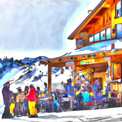 Arapahoe Basin15-day forecast
Ski report →
Arapahoe Basin15-day forecast
Ski report →
-
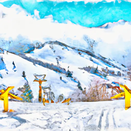 Aspen Highlands15-day forecast
Ski report →
Aspen Highlands15-day forecast
Ski report →
-
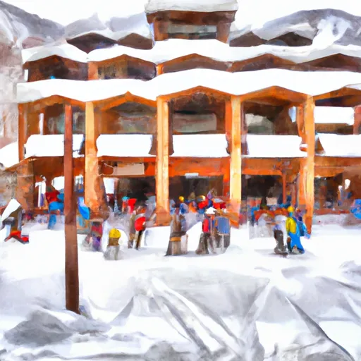 Aspen Mountain15-day forecast
Ski report →
Aspen Mountain15-day forecast
Ski report →
-
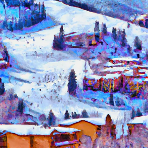 Beaver Creek Resort15-day forecast
Ski report →
Beaver Creek Resort15-day forecast
Ski report →
-
 Breckenridge Ski Resort15-day forecast
Ski report →
Breckenridge Ski Resort15-day forecast
Ski report →
-
 Buttermilk Mountain15-day forecast
Ski report →
Buttermilk Mountain15-day forecast
Ski report →
-
 Conquistador Ski Resort15-day forecast
Ski report →
Conquistador Ski Resort15-day forecast
Ski report →
-
 Copper Mountain Resort15-day forecast
Ski report →
Copper Mountain Resort15-day forecast
Ski report →
-
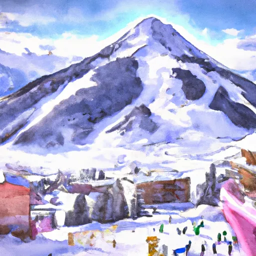 Crested Butte Mountain Resort15-day forecast
Ski report →
Crested Butte Mountain Resort15-day forecast
Ski report →
-
 Cuchara Mountain Resort15-day forecast
Ski report →
Cuchara Mountain Resort15-day forecast
Ski report →
-
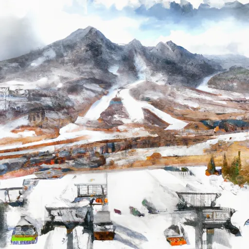 Durango Mountain Resort15-day forecast
Ski report →
Durango Mountain Resort15-day forecast
Ski report →
-
 Echo Mountain Park15-day forecast
Ski report →
Echo Mountain Park15-day forecast
Ski report →
-
 Eldora Mountain Resort15-day forecast
Ski report →
Eldora Mountain Resort15-day forecast
Ski report →
-
 Hesperus Ski Area15-day forecast
Ski report →
Hesperus Ski Area15-day forecast
Ski report →
-
 Howelsen Hill Ski Area15-day forecast
Ski report →
Howelsen Hill Ski Area15-day forecast
Ski report →
-
 Kendall Mountain15-day forecast
Ski report →
Kendall Mountain15-day forecast
Ski report →
-
 Keystone Resort15-day forecast
Ski report →
Keystone Resort15-day forecast
Ski report →
-
 Loveland15-day forecast
Ski report →
Loveland15-day forecast
Ski report →
-
 Monarch Ski & Snowboard Area15-day forecast
Ski report →
Monarch Ski & Snowboard Area15-day forecast
Ski report →
-
 Powderhorn Resort15-day forecast
Ski report →
Powderhorn Resort15-day forecast
Ski report →
-
 Silverton Mountain15-day forecast
Ski report →
Silverton Mountain15-day forecast
Ski report →
-
 Ski Broadmoor15-day forecast
Ski report →
Ski Broadmoor15-day forecast
Ski report →
-
 Ski Cooper15-day forecast
Ski report →
Ski Cooper15-day forecast
Ski report →
-
 Ski Estes Park (Hidden Valley)15-day forecast
Ski report →
Ski Estes Park (Hidden Valley)15-day forecast
Ski report →
-
 Snowmass15-day forecast
Ski report →
Snowmass15-day forecast
Ski report →
-
 Solvista Basin At Granby Ranch15-day forecast
Ski report →
Solvista Basin At Granby Ranch15-day forecast
Ski report →
-
 Steamboat Ski Resort15-day forecast
Ski report →
Steamboat Ski Resort15-day forecast
Ski report →
-
 Sunlight Mountain Resort15-day forecast
Ski report →
Sunlight Mountain Resort15-day forecast
Ski report →
-
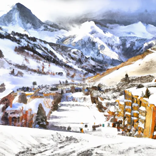 Telluride15-day forecast
Ski report →
Telluride15-day forecast
Ski report →
-
 Vail15-day forecast
Ski report →
Vail15-day forecast
Ski report →
-
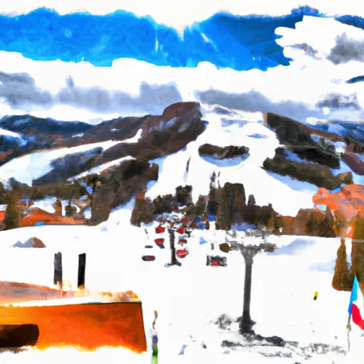 Wolf Creek Ski Area15-day forecast
Ski report →
Wolf Creek Ski Area15-day forecast
Ski report →
About Colorado snowpack
What is Colorado's snowpack right now?
As of October 15, 2026, Colorado's snowpack is at 26% of normal across 115 SNOTEL stations, and the deepest station is Tower with 54" on the ground. The full SNOTEL table is below.
Where is the deepest snow in Colorado right now?
As of October 15, 2026, the deepest snowpack in Colorado is 54" at Tower. See the SNOTEL station table for the full ranking by depth and snow-water equivalent.
Is Colorado's snowpack above or below normal?
Compare the statewide percent-of-normal on this page: 100% is right at the historical average for the date, below 70% is drought-stressed, and above 130% is a well-above-normal year. Each SNOTEL station also shows its own percent of normal.
Where does the Colorado snowpack data come from?
The USDA NRCS SNOTEL network (SNOpack TELemetry) -- automated mountain stations that continuously measure snow depth, snow water equivalent, precipitation, and air temperature. Snoflo aggregates the live readings and joins them to a 5-day NOAA forecast for each station.
What is Snow Water Equivalent (SWE)?
The depth of water you'd get if you melted the entire snowpack. A 30-inch snowpack with 8 inches of SWE is wetter and denser than one with 5 inches -- useful for water-supply forecasting and avalanche assessment. The "SWC %" column shows the ratio.
What does Percent Normal mean?
Current snowpack as a percentage of the historical average for the same date at that station. 100% is right at the historical norm. Below 70% indicates drought-stressed snowpack; above 130% is a fat year.
How fresh is the Colorado data?
SNOTEL stations transmit hourly; Snoflo re-pulls throughout the day. The 5-day forecasts regenerate from NOAA NOHRSC analysis fields and NWS forecast guidance.
Why are SNOTEL stations only in some states?
The NRCS SNOTEL network is concentrated in the western mountain U.S. -- where the snowpack drives federal water supply forecasts for irrigation, hydropower, and municipal water. Eastern snowpack is measured by other networks (CoCoRaHS, NWS) which Snoflo includes elsewhere.
Is this a substitute for the local avalanche center?
No. For backcountry travel always consult your regional avalanche forecast at avalanche.org. Snoflo is informational data only.