

-
 Snoflo Premium
Get unlimited access to all our content
With no Ad interruptions! - Start Your Free Trial Login with existing account
Roswell
Eden Index
Climate
7.8
•
Recreation
6.6
•
Community
6.8
•
Safeguard
7.1/10
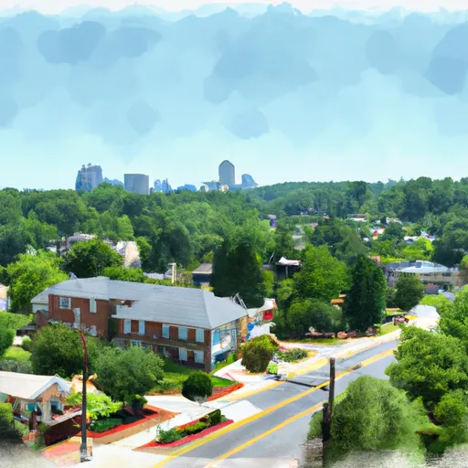
Roswell, Georgia, located in Fulton County, is a vibrant city known for its natural beauty and outdoor recreational opportunities. The climate in Roswell is humid subtropical, characterized by hot summers and mild winters. Summers are typically warm and humid with temperatures reaching the 90s Fahrenheit, while winters are mild with temperatures averaging in the 50s.
Roswell is blessed with several water bodies, including the Chattahoochee River, Vickery Creek, and Big Creek, which contribute to the city's hydrology. These waterways provide a picturesque backdrop for various recreational activities such as kayaking, paddleboarding, fishing, and hiking along the numerous trails that meander through the surrounding parks.
Outdoor enthusiasts can explore the Chattahoochee Nature Center, a 127-acre sanctuary that offers educational programs, wildlife exhibits, and miles of trails. Roswell also boasts a vast park system, including Riverside Park and Roswell Area Park, which feature playgrounds, sports fields, picnic areas, and walking trails.
Whether it's enjoying water activities, hiking through lush greenery, or simply relishing the mild climate, Roswell offers a diverse range of outdoor recreation opportunities that cater to all nature lovers.
What is the Eden Index?
The Snoflo Eden Index serves as a comprehensive rating system for regions, evaluating their desirability through a holistic assessment of climate health, outdoor recreation opportunities, and natural disaster risk, acknowledging the profound impact of these factors on livability and well-being.
Climate Health Indicator (CHI): 7.8
Roswell receives approximately
1316mm of rain per year,
with humidity levels near 86%
and air temperatures averaging around
16°C.
Roswell has a plant hardyness factor of
7, meaning
plants and agriculture in this region tend to thrive during the non-winter months.
By considering the ideal temperature range, reliable water supplies, clean air, and stable seasonal rain or snowpacks, the Climate Health Indicator (CHI) underscores the significance of a healthy climate as the foundation for quality living.
A healthy climate is paramount for ensuring a high quality of life and livability in a region, fostering both physical well-being and environmental harmony. This can be characterized by ideal temperatures, reliable access to water supplies, clean air, and consistent seasonal rain or snowpacks.
Weather Forecast
Streamflow Conditions
Apalachicola
Area Rivers
Apalachicola
Snowpack Depths
Apalachicola
Reservoir Storage Capacity
Apalachicola
Groundwater Levels
Recreational Opportunity Index (ROI): 6.6
The Recreational Opportunity Index (ROI) recognizes the value of outdoor recreational options, such as parks, hiking trails, camping sites, and fishing spots, while acknowledging that climate plays a pivotal role in ensuring the comfort and consistency of these experiences.
Access to outdoor recreational opportunities, encompassing activities such as parks, hiking, camping, and fishing, is crucial for overall well-being, and the climate plays a pivotal role in enabling and enhancing these experiences, ensuring that individuals can engage in nature-based activities comfortably and consistently.
Camping Areas
| Campground | Campsites | Reservations | Toilets | Showers | Elevation |
|---|---|---|---|---|---|
| Tumbling Creek | 8 | 1,505 ft | |||
| Ridgeway - Carters Lake | None | 1,282 ft | |||
| Sweetwater - Allatoona Lake | None | 896 ft | |||
| Jacks River Fields | 14 | 2,865 ft | |||
| Big Lost Creek | 15 | 1,024 ft | |||
| Morganton Point | 82 | 1,753 ft | |||
| Parksville | 93 | 872 ft | |||
| Amicalola Falls State Park | None | 1,779 ft | |||
| Dobbins Lakeside Military | None | 1,079 ft | |||
| Thunder Rock | 42 | 1,140 ft |
Nearby Ski Areas
Catastrophe Safeguard Index (CSI):
The Catastrophe Safeguard Index (CSI) recognizes that natural disaster risk, encompassing floods, fires, hurricanes, and tornadoes, can drastically affect safety and the overall appeal of an area.
The level of natural disaster risk in a region significantly affects safety and the overall livability, with climate change amplifying these risks by potentially increasing the frequency and intensity of events like floods, fires, hurricanes, and tornadoes, thereby posing substantial challenges to community resilience and well-being.
Community Resilience Indicator (CRI): 6.8
The Community Resilience Indicator (CRI) recognizes that education, healthcare, and socioeconomics are crucial to the well-being of a region. The CRI acknowledges the profound impact of these elements on residents' overall quality of life. By evaluating educational resources, healthcare accessibility, and economic inclusivity, the index captures the essential aspects that contribute to a thriving community, fostering resident satisfaction, equity, and social cohesion.