

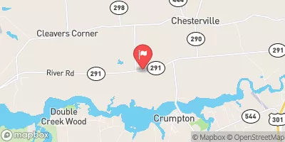
Chesterville Branch Near Crumpton, Md Realtime Data
CHESTERVILLE BRANCH NEAR CRUMPTON, MD
Realtime Data • Report • Conditions
3
Discharge (cfs)
1.5
Gauge Height (ft)
Streamflow discharge was last observed at 3 cfs, and a gauge height of 1.51 feet.
With the
% decrease since yesterday,
the streamflow average over the past 10 days is 3 .
Weather today, Tomorrow,
The primary contributors to the flow are groundwater and precipitation. There are no major dams on this branch, but the flow can be impacted by smaller dams and impoundments. Seasonal trends show higher flows in the spring due to snowmelt and spring rain, while lower flows occur during the summer and fall. One interesting fact about this streamgauge is that it is located near the historic Chestertown Steamboat Wharf, which was a significant transportation hub in the 19th century. Overall, the Chesterville Branch streamgauge provides important data for understanding the hydrology of this tributary and its impact on the Chester River.
October 16, 2026
| Elevation | 10.0 ft |
| Last Updated | |
| Gage height, ft | 1.51 ft |
| Nitrate plus nitrite, water, in situ, mg/L as N | 8.76 mg/l as N |
| Stream water level elevation above NAVD 1988, in ft | 3.25 ft |
| Streamflow, ft³/s | 2.97 ft3/s |
| Specific conductance, water, unfiltered, microsiemens per centimeter at 25°C | 194.0 uS/cm @25C |
| Dissolved oxygen, water, unfiltered, mg/L | 10.3 mg/l |
| Turbidity, water, unfiltered, monochrome near infra-red LED light, 780-900 nm, detection angle 90 ±2.5°, formazin nephelometric units (FNU) | 12.3 FNU |
| pH, water, unfiltered, field, standard units | 6.8 std units |
| Temperature, water, degC | 10.4 deg C |
| Percent of Normal | 47% |
| Year Over Year Average | 6 cfs |
| 24hr Flow Prediction | cfs |
| Maximum Recorded | 1,450 cfs |
| Geolocation | 39.26, -75.94 |
 Continue with Snoflo Premium