

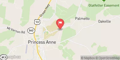
Manokin Branch Near Princess Anne, Md Realtime Data
MANOKIN BRANCH NEAR PRINCESS ANNE, MD
Realtime Data • Report • Conditions
2
Discharge (cfs)
1.6
Gauge Height (ft)
USGS 01486000
Streamflow discharge was last observed at 2 cfs, and a gauge height of 1.63 feet.
With the
% decrease since yesterday,
the streamflow average over the past 10 days is 1 .
Weather today, Tomorrow,
The flow is primarily provided by precipitation and runoff from the surrounding agricultural land. There are no major dams on this branch, but there are several smaller tributaries that contribute to the overall flow. Seasonal trends show that the flow is highest during the winter and spring months when precipitation is more abundant. Interestingly, the Manokin River has been designated as a "Scenic River" due to its natural beauty and historical significance, including being the site of a major battle during the Revolutionary War.
October 6, 2026
| Elevation | 14.0 ft |
| Last Updated | |
| Gage height, ft | 1.63 ft |
| Stream water level elevation above NAVD 1988, in ft | 7.83 ft |
| Streamflow, ft³/s | 2.11 ft3/s |
| Percent of Normal | 213% |
| Year Over Year Average | 1 cfs |
| 24hr Flow Prediction | cfs |
| Maximum Recorded | 275 cfs |
| Geolocation | 38.21, -75.67 |
 Continue with Snoflo Premium