

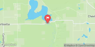
Au Sable River Near Curtisville, Mi Realtime Data
AU SABLE RIVER NEAR CURTISVILLE, MI
Realtime Data • Report • Conditions
1,230
Discharge (cfs)
8.4
Gauge Height (ft)
Streamflow discharge was last observed at 1,230 cfs, and a gauge height of 8.37 feet.
With the
% decrease since yesterday,
the streamflow average over the past 10 days is 1,350 .
Weather today, Tomorrow,
The river is fed by various tributaries, including the East Branch and the West Branch. The main constituents of flow in the river are snowmelt and rainfall. During the spring, the river experiences high flows as a result of snowmelt, while during the summer, flows are generally lower. The presence of the Foote Dam near the gauge site can impact the river's flow, especially during heavy rain events. The Au Sable River is also a popular destination for fishing, with the river's clean waters supporting a variety of fish species, including trout.
October 24, 2026
| Elevation | 803.0 ft |
| Last Updated | |
| Gage height, ft | 8.37 ft |
| Stream water level elevation above NAVD 1988, in ft | 785.91 ft |
| Streamflow, ft³/s | 1230.0 ft3/s |
| Dissolved oxygen, water, unfiltered, mg/L | 9.9 mg/l |
| Temperature, water, °C | 11.0 deg C |
| Percent of Normal | 113% |
| Year Over Year Average | 1,080 cfs |
| 24hr Flow Prediction | cfs |
| Maximum Recorded | 6,540 cfs |
| Geolocation | 44.56, -83.80 |
 Continue with Snoflo Premium