

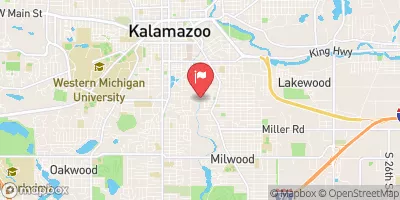
Portage Creek At Kalamazoo, Mi Realtime Data
PORTAGE CREEK AT KALAMAZOO, MI
Realtime Data • Report • Conditions
41
Discharge (cfs)
2.2
Gauge Height (ft)
Streamflow discharge was last observed at 41 cfs, and a gauge height of 2.24 feet.
With the
% decrease since yesterday,
the streamflow average over the past 10 days is 50 .
Weather today, Tomorrow,
The creek is fed by several small tributaries and has several dams along its length. Seasonal trends show higher flow in the spring due to snowmelt and lower flow in the summer due to decreased rainfall. The hydrology of the creek is impacted by urbanization and pollution from industrial sources. In recent years, efforts have been made to improve water quality and restore the natural habitat of the creek. An interesting fact is that the creek was once a popular spot for fishing and recreation, but became heavily polluted in the 20th century.
October 10, 2026
| Elevation | 766.0 ft |
| Last Updated | |
| Gage height, ft | 2.24 ft |
| Stream water level elevation above NAVD 1988, in ft | 763.09 ft |
| Streamflow, ft³/s | 40.6 ft3/s |
| Percent of Normal | 94% |
| Year Over Year Average | 43 cfs |
| 24hr Flow Prediction | cfs |
| Maximum Recorded | 268 cfs |
| Geolocation | 42.27, -85.58 |
 Continue with Snoflo Premium