

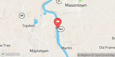
Monongahela River Near Masontown, Pa Realtime Data
MONONGAHELA RIVER NEAR MASONTOWN, PA
Realtime Data • Report • Conditions
6,190
Discharge (cfs)
11.2
Gauge Height (ft)
USGS 03072655
Streamflow discharge was last observed at 6,190 cfs, and a gauge height of 11.22 feet.
With the
% decrease since yesterday,
the streamflow average over the past 10 days is 10,008 .
Weather today, Tomorrow,
The river is fed by various tributaries including the Cheat River and the Youghiogheny River. There are several dams along the river, including the Morgantown Lock and Dam and the Opekiska Lock and Dam. The river experiences seasonal changes in flow, with higher flows typically occurring in the spring due to snowmelt and rainfall. Interestingly, the Monongahela River was once home to a thriving freshwater mussel population, but pollution and habitat destruction have caused a decline in recent years.
October 24, 2026
| Elevation | 765.0 ft |
| Last Updated | |
| Gage height, ft | 11.22 ft |
| Stream water level elevation above NAVD 1988, in ft | 779.72 ft |
| Streamflow, ft³/s | 6190.0 ft3/s |
| Specific conductance, water, unfiltered, microsiemens per centimeter at 25°C | 156.0 uS/cm @25C |
| Dissolved oxygen, water, unfiltered, mg/L | 10.5 mg/l |
| pH, water, unfiltered, field, standard units | 7.4 std units |
| Temperature, water, °C | 15.1 deg C |
| Precipitation, total, in | 0.0 in |
| Percent of Normal | 277% |
| Year Over Year Average | 2,230 cfs |
| 24hr Flow Prediction | cfs |
| Maximum Recorded | 116,000 cfs |
 Continue with Snoflo Premium