

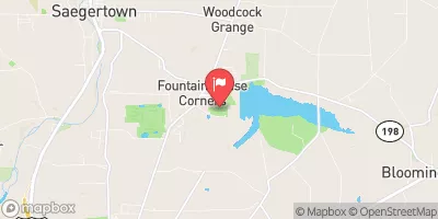
Woodcock Creek At Woodcock Creek Dam, Pa Realtime Data
WOODCOCK CREEK AT WOODCOCK CREEK DAM, PA
Realtime Data • Report • Conditions
42
Discharge (cfs)
7.6
Gauge Height (ft)
Streamflow discharge was last observed at 42 cfs, and a gauge height of 7.55 feet.
With the
% decrease since yesterday,
the streamflow average over the past 10 days is 62 .
Weather today, Tomorrow,
The watershed that feeds the creek is primarily agricultural, with some forest and urban land use. There are no major tributaries or dams that significantly affect the flow of the creek. The hydrology of the area is seasonal, with higher flows in the spring and lower flows in the summer and fall. Interesting facts about the area include the presence of the endangered Eastern Massasauga rattlesnake and the use of the dam for recreation such as fishing and boating. Overall, the Woodcock Creek stream gauge provides important data for understanding the hydrology of the region.
October 13, 2026
| Elevation | 1,127.0 ft |
| Last Updated | |
| Gage height, ft | 7.55 ft |
| Stream water level elevation above NAVD 1988, in ft | 1133.85 ft |
| Temperature, water, °C | 16.3 deg C |
| Streamflow, ft³/s | 41.6 ft3/s |
| Percent of Normal | 180% |
| Year Over Year Average | 23 cfs |
| 24hr Flow Prediction | cfs |
| Maximum Recorded | 838 cfs |
| Geolocation | 41.70, -80.11 |
 Continue with Snoflo Premium