

-
 Snoflo Premium
Get unlimited access to all our content
With no Ad interruptions! - Start Your Free Trial Login with existing account
Colt
Eden Index
Climate
8.0
•
Recreation
2.5
•
Community
0.7
•
Safeguard
4.2/10
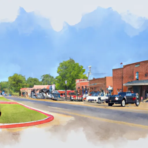
Colt, Arkansas is a small town located in St. Francis County. The climate in Colt is characterized by hot, humid summers and mild to cool winters with occasional snowfall. The town is situated near the St. Francis River, which provides water resources for the town and its surrounding areas. Hydrology constituents in the area include sediment, nutrients, and organic matter. Outdoor recreation opportunities in Colt include hunting, fishing, and hiking. The St. Francis National Forest is located nearby and offers opportunities for camping, horseback riding, and birdwatching. Overall, Colt provides a quiet and rural atmosphere with ample opportunities for outdoor activities.
What is the Eden Index?
The Snoflo Eden Index serves as a comprehensive rating system for regions, evaluating their desirability through a holistic assessment of climate health, outdoor recreation opportunities, and natural disaster risk, acknowledging the profound impact of these factors on livability and well-being.
Climate Health Indicator (CHI): 8.0
Colt receives approximately
1265mm of rain per year,
with humidity levels near 87%
and air temperatures averaging around
17°C.
Colt has a plant hardyness factor of
7, meaning
plants and agriculture in this region tend to thrive during the non-winter months.
By considering the ideal temperature range, reliable water supplies, clean air, and stable seasonal rain or snowpacks, the Climate Health Indicator (CHI) underscores the significance of a healthy climate as the foundation for quality living.
A healthy climate is paramount for ensuring a high quality of life and livability in a region, fostering both physical well-being and environmental harmony. This can be characterized by ideal temperatures, reliable access to water supplies, clean air, and consistent seasonal rain or snowpacks.
Weather Forecast
Streamflow Conditions
St. Francis
Area Rivers
St. Francis
Snowpack Depths
St. Francis
Reservoir Storage Capacity
St. Francis
Groundwater Levels
Recreational Opportunity Index (ROI): 2.5
The Recreational Opportunity Index (ROI) recognizes the value of outdoor recreational options, such as parks, hiking trails, camping sites, and fishing spots, while acknowledging that climate plays a pivotal role in ensuring the comfort and consistency of these experiences.
Access to outdoor recreational opportunities, encompassing activities such as parks, hiking, camping, and fishing, is crucial for overall well-being, and the climate plays a pivotal role in enabling and enhancing these experiences, ensuring that individuals can engage in nature-based activities comfortably and consistently.
Camping Areas
| Campground | Campsites | Reservations | Toilets | Showers | Elevation |
|---|---|---|---|---|---|
| South Recreation Composite | 100 | 140 ft | |||
| Little Sunflower River | None | 107 ft | |||
| Rocky Springs - Natchez Trace Pkwy | 22 | 235 ft | |||
| North Rec Composite | 15 | 97 ft | |||
| Leroy Percy State Park | None | 108 ft | |||
| Great River Road State Park | None | 150 ft | |||
| Grand Gulf Military Park | 42 | 238 ft | |||
| Lake Charlie Capps | None | 146 ft | |||
| Clear Spgs Rec Area | 45 | 317 ft | |||
| Lamar Dixon Expo RV Center | 300 | 11 ft |
Nearby Ski Areas
Catastrophe Safeguard Index (CSI):
The Catastrophe Safeguard Index (CSI) recognizes that natural disaster risk, encompassing floods, fires, hurricanes, and tornadoes, can drastically affect safety and the overall appeal of an area.
The level of natural disaster risk in a region significantly affects safety and the overall livability, with climate change amplifying these risks by potentially increasing the frequency and intensity of events like floods, fires, hurricanes, and tornadoes, thereby posing substantial challenges to community resilience and well-being.
Community Resilience Indicator (CRI): 0.7
The Community Resilience Indicator (CRI) recognizes that education, healthcare, and socioeconomics are crucial to the well-being of a region. The CRI acknowledges the profound impact of these elements on residents' overall quality of life. By evaluating educational resources, healthcare accessibility, and economic inclusivity, the index captures the essential aspects that contribute to a thriving community, fostering resident satisfaction, equity, and social cohesion.