

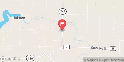
Sac River Near Dadeville, Mo Realtime Data
SAC RIVER NEAR DADEVILLE, MO
Realtime Data • Report • Conditions
20
Discharge (cfs)
4.9
Gauge Height (ft)
USGS 06918440
Streamflow discharge was last observed at 20 cfs, and a gauge height of 4.87 feet.
With the
% decrease since yesterday,
the streamflow average over the past 10 days is 24 .
Weather today, Tomorrow,
The main contributors to the flow are precipitation and runoff from the surrounding area. There are several tributaries that feed into the Sac River including the Pomme de Terre River and the Little Sac River. There are no major dams on the river. The flow of the river is typically highest in the spring due to snowmelt and spring rains. The river is known for its clear water and is popular for fishing and paddling. Interestingly, the river is named after the Osage people who used to live in the area.
October 22, 2026
| Elevation | 879.0 ft |
| Last Updated | |
| Gage height, ft | 4.87 ft |
| Streamflow, ft³/s | 20.1 ft3/s |
| Percent of Normal | 40% |
| Year Over Year Average | 51 cfs |
| 24hr Flow Prediction | cfs |
| Maximum Recorded | 16,700 cfs |
| Geolocation | 37.44, -93.68 |
 Continue with Snoflo Premium