

-
 Snoflo Premium
Get unlimited access to all our content
With no Ad interruptions! - Start Your Free Trial Login with existing account
Bondville
Eden Index
Climate
6.9
•
Recreation
6.3
•
Community
•
Safeguard
5.0/10
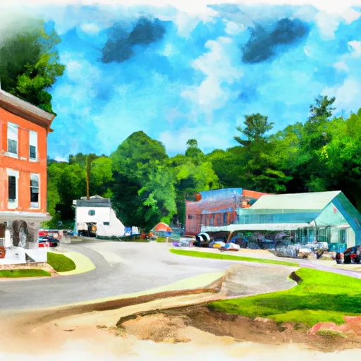
Bondville, Vermont is a small town located in the southwestern part of the state. The climate is considered humid continental, with warm summers and cold winters. The area is characterized by high precipitation levels, which contribute to the town's hydrology constituents, including several rivers and streams. Bondville offers residents and visitors a variety of outdoor recreation opportunities, including skiing and snowboarding at Stratton Mountain Resort, hiking and camping in nearby Green Mountain National Forest, and fishing in the many rivers and streams in the area. Overall, Bondville's climate and abundance of waterways make it an ideal location for outdoor enthusiasts.
What is the Eden Index?
The Snoflo Eden Index serves as a comprehensive rating system for regions, evaluating their desirability through a holistic assessment of climate health, outdoor recreation opportunities, and natural disaster risk, acknowledging the profound impact of these factors on livability and well-being.
Climate Health Indicator (CHI): 6.9
Bondville receives approximately
1345mm of rain per year,
with humidity levels near 78%
and air temperatures averaging around
6°C.
Bondville has a plant hardyness factor of
5, meaning
plants and agriculture in this region thrive during a short period during spring and early summer. Most
plants will die off during the colder winter months.
By considering the ideal temperature range, reliable water supplies, clean air, and stable seasonal rain or snowpacks, the Climate Health Indicator (CHI) underscores the significance of a healthy climate as the foundation for quality living.
A healthy climate is paramount for ensuring a high quality of life and livability in a region, fostering both physical well-being and environmental harmony. This can be characterized by ideal temperatures, reliable access to water supplies, clean air, and consistent seasonal rain or snowpacks.
Weather Forecast
Streamflow Conditions
Upper Connecticut
Area Rivers
Upper Connecticut
Snowpack Depths
Upper Connecticut
Reservoir Storage Capacity
Upper Connecticut
Groundwater Levels
Recreational Opportunity Index (ROI): 6.3
The Recreational Opportunity Index (ROI) recognizes the value of outdoor recreational options, such as parks, hiking trails, camping sites, and fishing spots, while acknowledging that climate plays a pivotal role in ensuring the comfort and consistency of these experiences.
Access to outdoor recreational opportunities, encompassing activities such as parks, hiking, camping, and fishing, is crucial for overall well-being, and the climate plays a pivotal role in enabling and enhancing these experiences, ensuring that individuals can engage in nature-based activities comfortably and consistently.
Camping Areas
| Campground | Campsites | Reservations | Toilets | Showers | Elevation |
|---|---|---|---|---|---|
| Clarksburg State Park | 45 | 1,111 ft | |||
| Savoy Mountain State Forest | 45 | 1,989 ft | |||
| Winhall Brook | 110 | 1,071 ft | |||
| Mohawk Trail State Forest | 56 | 762 ft | |||
| Woodford State Park | 100 | 2,367 ft | |||
| Historic Valley | 114 | 952 ft | |||
| DAR State Forest | 50 | 1,456 ft | |||
| Molly Stark State Park | 35 | 1,968 ft | |||
| Windsor State Forest | 24 | 1,845 ft | |||
| Red Mill Brook | 31 | 2,178 ft |
Nearby Fishing
Nearby Ski Areas
Catastrophe Safeguard Index (CSI):
The Catastrophe Safeguard Index (CSI) recognizes that natural disaster risk, encompassing floods, fires, hurricanes, and tornadoes, can drastically affect safety and the overall appeal of an area.
The level of natural disaster risk in a region significantly affects safety and the overall livability, with climate change amplifying these risks by potentially increasing the frequency and intensity of events like floods, fires, hurricanes, and tornadoes, thereby posing substantial challenges to community resilience and well-being.
Community Resilience Indicator (CRI):
The Community Resilience Indicator (CRI) recognizes that education, healthcare, and socioeconomics are crucial to the well-being of a region. The CRI acknowledges the profound impact of these elements on residents' overall quality of life. By evaluating educational resources, healthcare accessibility, and economic inclusivity, the index captures the essential aspects that contribute to a thriving community, fostering resident satisfaction, equity, and social cohesion.