

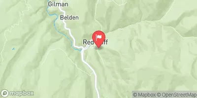
Eagle River At Red Cliff, Co. Realtime Data
EAGLE RIVER AT RED CLIFF, CO.
Realtime Data • Report • Conditions
8
Discharge (cfs)
2.5
Gauge Height (ft)
Streamflow discharge was last observed at 8 cfs, and a gauge height of 2.45 feet.
With the
% decrease since yesterday,
the streamflow average over the past 10 days is 7 .
Weather today, Tomorrow,
The river is fed by snow and rain from the surrounding mountains, providing a vital source of water for the region's inhabitants. The river has several tributaries, including Gore Creek and Brush Creek, and is regulated by several dams, including the Eagle Park Reservoir and the Homestake Reservoir. The river's flow varies depending on the season, with peak flows occurring in the spring and early summer due to snowmelt. Interestingly, the river has become a popular destination for whitewater rafting and fishing due to its high flow rates and abundance of fish species like trout and whitefish.
October 15, 2026
| Elevation | 8,785.0 ft |
| Last Updated | |
| Photosynthetically active radiation (average flux density on a horizontal surface during measurement interval), µmol of photons/m²/s | 0.0 umol/m2/s |
| Stream water level elevation above NAVD 1988, in ft | 8661.06 ft |
| Streamflow, ft³/s | 7.82 ft3/s |
| Specific conductance, water, unfiltered, microsiemens per centimeter at 25°C | 274.0 uS/cm @25C |
| Gage height, ft | 2.45 ft |
| pH, water, unfiltered, field, standard units | 8.3 std units |
| Temperature, water, °C | 6.2 deg C |
| Percent of Normal | 64% |
| Year Over Year Average | 12 cfs |
| 24hr Flow Prediction | cfs |
| Maximum Recorded | 576 cfs |
 Continue with Snoflo Premium