

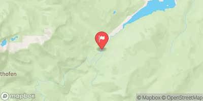
Grand River Ditch At La Poudre Pass, Co. Realtime Data
GRAND RIVER DITCH AT LA POUDRE PASS, CO.
Realtime Data • Report • Conditions
-999
Discharge (cfs)
-999.0
Gauge Height (ft)
USGS 09010000
Streamflow discharge was last observed at -999 cfs, and a gauge height of -999.00 feet.
With the
% decrease since yesterday,
the streamflow average over the past 10 days is -199 .
Weather today, Tomorrow,
The streamgauge at La Poudre Pass measures the flow of the diverted water. The ditch is fed by tributaries such as the Roaring Fork and Willow Creek, and water is stored in the La Poudre Pass reservoir. Seasonally, the flow is highest in the summer months, when irrigation demands are greatest. Interestingly, the construction of the ditch was plagued by labor disputes and engineering challenges. Despite these difficulties, the ditch remains an important source of water for agriculture in Colorado.
October 24, 2026
| Elevation | 10,170.0 ft |
| Last Updated | |
| Gage height, feet | -999.0 ft |
| Streamflow, ft3/s | -999.0 ft3/s |
| Percent of Normal | -3,996,000% |
| Year Over Year Average | 0 cfs |
| 24hr Flow Prediction | cfs |
| Maximum Recorded | 288 cfs |
 Continue with Snoflo Premium